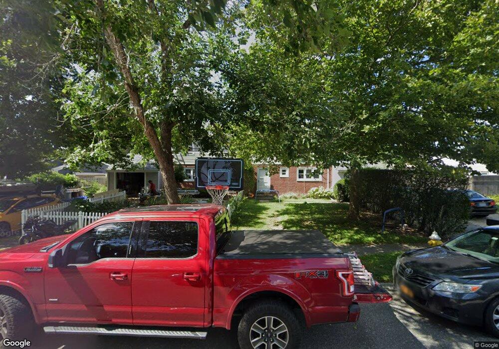
754 Mccord St Unit B Westhampton Beach, NY 11978
Estimated Value: $457,000 - $655,000
3
Beds
2
Baths
1,232
Sq Ft
$445/Sq Ft
Est. Value
About This Home
This home is located at 754 Mccord St Unit B, Westhampton Beach, NY 11978 and is currently estimated at $547,763, approximately $444 per square foot. 754 Mccord St Unit B is a home located in Suffolk County with nearby schools including Westhampton Beach Elementary School, Westhampton Middle School, and Westhampton Beach Senior High School.
Ownership History
Date
Name
Owned For
Owner Type
Purchase Details
Closed on
Sep 3, 2021
Sold by
Shernoff Donald
Bought by
Quogue 48 Apartment Llc
Current Estimated Value
Purchase Details
Closed on
Sep 13, 2016
Sold by
Shernoff Donald
Bought by
Shernoff Donald
Create a Home Valuation Report for This Property
The Home Valuation Report is an in-depth analysis detailing your home's value as well as a comparison with similar homes in the area
Home Values in the Area
Average Home Value in this Area
Purchase History
| Date | Buyer | Sale Price | Title Company |
|---|---|---|---|
| Quogue 48 Apartment Llc | $390,000 | None Available | |
| Shernoff Donald | -- | The Judicial Title Insurance |
Source: Public Records
Tax History Compared to Growth
Tax History
| Year | Tax Paid | Tax Assessment Tax Assessment Total Assessment is a certain percentage of the fair market value that is determined by local assessors to be the total taxable value of land and additions on the property. | Land | Improvement |
|---|---|---|---|---|
| 2024 | $2,012 | $234,800 | $101,100 | $133,700 |
| 2023 | $2,012 | $234,800 | $101,100 | $133,700 |
| 2022 | $2,012 | $234,800 | $101,100 | $133,700 |
| 2021 | $2,012 | $232,200 | $101,100 | $131,100 |
| 2020 | $1,934 | $232,200 | $101,100 | $131,100 |
| 2019 | $1,934 | $0 | $0 | $0 |
| 2018 | -- | $250,400 | $140,400 | $110,000 |
| 2017 | $1,981 | $222,600 | $124,800 | $97,800 |
| 2016 | $2,011 | $222,600 | $124,800 | $97,800 |
| 2015 | -- | $222,600 | $124,800 | $97,800 |
| 2014 | -- | $194,800 | $109,200 | $85,600 |
Source: Public Records
Map
Nearby Homes
- 0 Patrick St
- 4 Evelyn Ct
- 74 Lakeside Ln
- 95 N Summit Blvd
- 4 Cooks Ln
- 34 Montauk Hwy Unit 2
- 38 Columbia Ave
- 4 Happy Ln
- 100 Rogers Ave Unit 701
- 100 Rogers Ave Unit 702
- 100 Rogers Ave Unit 703
- 100 Rogers Ave Unit 101
- 100 Rogers Ave Unit 102
- 100 Rogers Ave Unit 103
- 100 Rogers Ave Unit 201
- 100 Rogers Ave Unit 202
- 100 Rogers Ave Unit 203
- 100 Rogers Ave Unit 601
- 100 Rogers Ave Unit 602
- 100 Rogers Ave Unit 502
- 754 Mccord St Unit A
- 754 Mccord St
- 754A Mccord St
- 751A Mccord St
- 751B Mccord St
- 756 Mccord St Unit A
- 756 Mccord St Unit B
- 744 Hamilton Ave
- 753B Mccord St
- 755A Mccord St
- 744 Hamilton Ave
- 753A Mccord St
- 746 Hamilton Ave
- 759A Mccord St
- 752A Mccord St
- 742 Hamilton Ave
- 759 Mccord St Unit A
- 752B Mccord St
- 757A Mccord St
- 757 Mccord St Unit B