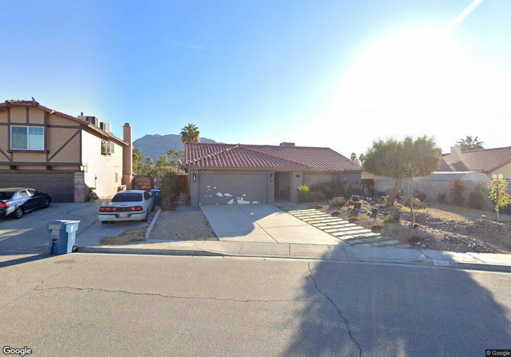
754 Memory Ln Las Vegas, NV 89110
Estimated Value: $390,432 - $436,000
3
Beds
2
Baths
1,576
Sq Ft
$261/Sq Ft
Est. Value
About This Home
This home is located at 754 Memory Ln, Las Vegas, NV 89110 and is currently estimated at $411,608, approximately $261 per square foot. 754 Memory Ln is a home located in Clark County with nearby schools including Richard J. Rundle Elementary School, Charlotte & Jerry Keller Elementary School, and Duane D. Keller Middle School.
Ownership History
Date
Name
Owned For
Owner Type
Purchase Details
Closed on
Jan 9, 2001
Sold by
Davidson Ollie
Bought by
Davidson Ollie and Harris Wesley Anne
Current Estimated Value
Purchase Details
Closed on
Oct 15, 1996
Sold by
Davidson Ollie and Davidson Corine
Bought by
Davidson Ollie and Davidson Corine
Purchase Details
Closed on
Aug 8, 1996
Sold by
Davidson Ollie and Davidson Corine
Bought by
Davidson Ollie and Davidson Corine
Create a Home Valuation Report for This Property
The Home Valuation Report is an in-depth analysis detailing your home's value as well as a comparison with similar homes in the area
Home Values in the Area
Average Home Value in this Area
Purchase History
| Date | Buyer | Sale Price | Title Company |
|---|---|---|---|
| Davidson Ollie | -- | -- | |
| Davidson Ollie | -- | -- | |
| Davidson Ollie | -- | -- |
Source: Public Records
Tax History Compared to Growth
Tax History
| Year | Tax Paid | Tax Assessment Tax Assessment Total Assessment is a certain percentage of the fair market value that is determined by local assessors to be the total taxable value of land and additions on the property. | Land | Improvement |
|---|---|---|---|---|
| 2025 | $1,788 | $70,480 | $27,300 | $43,180 |
| 2024 | $1,670 | $70,480 | $27,300 | $43,180 |
| 2023 | $1,670 | $72,281 | $30,450 | $41,831 |
| 2022 | $1,628 | $62,650 | $24,150 | $38,500 |
| 2021 | $1,186 | $57,995 | $21,000 | $36,995 |
| 2020 | $1,099 | $57,971 | $21,000 | $36,971 |
| 2019 | $1,030 | $54,350 | $17,500 | $36,850 |
| 2018 | $983 | $51,067 | $15,400 | $35,667 |
| 2017 | $1,425 | $48,579 | $12,250 | $36,329 |
| 2016 | $921 | $42,841 | $8,050 | $34,791 |
| 2015 | $918 | $42,363 | $6,650 | $35,713 |
| 2014 | $890 | $33,798 | $4,550 | $29,248 |
Source: Public Records
Map
Nearby Homes
- 720 N Sloan Ln
- 5836 Dunedin Ct
- 768 Santree Cir
- 920 N Sloan Ln Unit 204
- 940 N Sloan Ln Unit 102
- 5923 Halehaven Dr
- 563 Moon Chase St
- 5976 Stewart Ave
- 730 N Christy Ln
- 5529 Cedar Ave
- 0 Washington Unit 2360795
- 316 Linn Ln
- 0 Madge Ln
- 1185 Warm Sun Ct
- 6312 Seton Hall Ct
- 6343 Mahogany Peak Ave
- 431 N Fogg St
- 6400 Stewart Ave
- 1083 Devon Lake St
- 385 Lailani St
- 762 Memory Ln Unit 5
- 5872 Pear Ct
- 5882 Pear Ct Unit 5
- 770 Memory Ln
- 5862 Pear Ct
- 778 Memory Ln
- 749 Memory Ln
- 5815 Common Wealth Dr
- 786 Memory Ln
- 743 Memory Ln
- 743 Memory Ln Unit n/a
- 5883 Pear Ct
- 5809 Common Wealth Dr
- 5873 Pear Ct
- 5863 Pear Ct
- 737 Memory Ln
- 5853 Pear Ct
- 794 Memory Ln
- 748 N Sloan Ln
- 762 N Sloan Ln