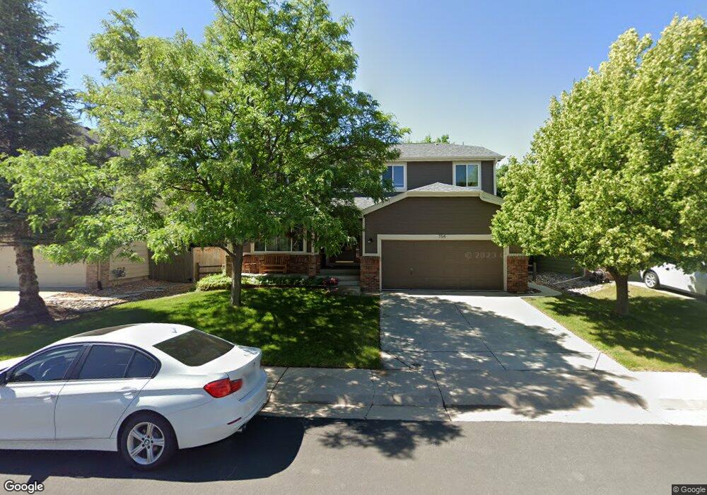
754 Pear Ct Louisville, CO 80027
Estimated Value: $936,467 - $1,130,000
4
Beds
3
Baths
2,185
Sq Ft
$471/Sq Ft
Est. Value
About This Home
This home is located at 754 Pear Ct, Louisville, CO 80027 and is currently estimated at $1,028,617, approximately $470 per square foot. 754 Pear Ct is a home located in Boulder County with nearby schools including Monarch K-8 School, Monarch High School, and The Goddard School - Louisville.
Ownership History
Date
Name
Owned For
Owner Type
Purchase Details
Closed on
Jun 15, 2001
Sold by
Allen Craig J and Paschall Rosanne L
Bought by
Allen Craig J and Allen Rosanne L
Current Estimated Value
Home Financials for this Owner
Home Financials are based on the most recent Mortgage that was taken out on this home.
Original Mortgage
$220,000
Outstanding Balance
$83,435
Interest Rate
7.08%
Estimated Equity
$945,182
Purchase Details
Closed on
May 28, 1999
Sold by
Sheffield Homes Coal Creek Llc
Bought by
Allen Craig J
Home Financials for this Owner
Home Financials are based on the most recent Mortgage that was taken out on this home.
Original Mortgage
$175,000
Interest Rate
6.91%
Purchase Details
Closed on
Feb 3, 1993
Bought by
Allen Craig J
Create a Home Valuation Report for This Property
The Home Valuation Report is an in-depth analysis detailing your home's value as well as a comparison with similar homes in the area
Home Values in the Area
Average Home Value in this Area
Purchase History
| Date | Buyer | Sale Price | Title Company |
|---|---|---|---|
| Allen Craig J | -- | -- | |
| Allen Craig J | $268,327 | Land Title | |
| Allen Craig J | -- | -- |
Source: Public Records
Mortgage History
| Date | Status | Borrower | Loan Amount |
|---|---|---|---|
| Open | Allen Craig J | $220,000 | |
| Closed | Allen Craig J | $175,000 |
Source: Public Records
Tax History Compared to Growth
Tax History
| Year | Tax Paid | Tax Assessment Tax Assessment Total Assessment is a certain percentage of the fair market value that is determined by local assessors to be the total taxable value of land and additions on the property. | Land | Improvement |
|---|---|---|---|---|
| 2025 | $5,363 | $59,319 | $28,606 | $30,713 |
| 2024 | $5,363 | $59,319 | $28,606 | $30,713 |
| 2023 | $5,272 | $59,670 | $29,601 | $33,755 |
| 2022 | $4,350 | $45,202 | $20,801 | $24,401 |
| 2021 | $4,681 | $50,543 | $23,259 | $27,284 |
| 2020 | $4,261 | $45,531 | $20,306 | $25,225 |
| 2019 | $4,200 | $45,531 | $20,306 | $25,225 |
| 2018 | $3,799 | $42,523 | $13,032 | $29,491 |
| 2017 | $3,723 | $47,012 | $14,408 | $32,604 |
| 2016 | $3,519 | $39,999 | $14,408 | $25,591 |
| 2015 | $3,335 | $35,541 | $8,517 | $27,024 |
| 2014 | $3,039 | $35,541 | $8,517 | $27,024 |
Source: Public Records
Map
Nearby Homes
- 546 Ridgeview Dr
- 749 Apple Ct
- 620 Ridgeview Dr
- 716 Club Cir
- 730 Copper Ln Unit 106
- 632 Manorwood Ln
- 362 S Taft Ct Unit 108
- 305 S Taft Ct Unit 33
- 323 S Taft Ct Unit 26
- 284 S Taft Ct Unit 76
- 567 Manorwood Ln
- 279 S Taft Ct Unit 53
- 539 Coal Creek Ln
- 499 Muirfield Cir
- 497 Muirfield Cir
- 641 W Dahlia St
- 494 Muirfield Cir
- 1002 Turnberry Cir
- 1030 Turnberry Cir
- 461 Muirfield Cir