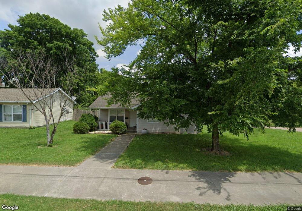
754 S West End Blvd Cape Girardeau, MO 63703
Estimated Value: $100,340 - $131,000
3
Beds
1
Bath
1,040
Sq Ft
$116/Sq Ft
Est. Value
About This Home
This home is located at 754 S West End Blvd, Cape Girardeau, MO 63703 and is currently estimated at $120,447, approximately $115 per square foot. 754 S West End Blvd is a home with nearby schools including Jefferson Elementary School, Central Junior High School, and Central Middle School.
Ownership History
Date
Name
Owned For
Owner Type
Purchase Details
Closed on
Aug 26, 2009
Sold by
Fann Lorri A
Bought by
Habitat For Humanity Cape Area
Current Estimated Value
Purchase Details
Closed on
Aug 3, 2005
Sold by
Habitat For Humanity Cape Area
Bought by
Fann Lorri A
Home Financials for this Owner
Home Financials are based on the most recent Mortgage that was taken out on this home.
Original Mortgage
$61,636
Interest Rate
6.64%
Mortgage Type
Unknown
Create a Home Valuation Report for This Property
The Home Valuation Report is an in-depth analysis detailing your home's value as well as a comparison with similar homes in the area
Home Values in the Area
Average Home Value in this Area
Purchase History
| Date | Buyer | Sale Price | Title Company |
|---|---|---|---|
| Habitat For Humanity Cape Area | -- | None Available | |
| Fann Lorri A | -- | None Available |
Source: Public Records
Mortgage History
| Date | Status | Borrower | Loan Amount |
|---|---|---|---|
| Previous Owner | Fann Lorri A | $61,636 | |
| Previous Owner | Fann Lorri A | $61,636 |
Source: Public Records
Tax History Compared to Growth
Tax History
| Year | Tax Paid | Tax Assessment Tax Assessment Total Assessment is a certain percentage of the fair market value that is determined by local assessors to be the total taxable value of land and additions on the property. | Land | Improvement |
|---|---|---|---|---|
| 2025 | $7 | $15,070 | $2,840 | $12,230 |
| 2024 | $7 | $14,350 | $2,700 | $11,650 |
| 2023 | $746 | $14,350 | $2,700 | $11,650 |
| 2022 | $688 | $13,230 | $2,490 | $10,740 |
| 2021 | $688 | $13,230 | $2,490 | $10,740 |
| 2020 | $690 | $13,230 | $2,490 | $10,740 |
| 2019 | $689 | $13,230 | $0 | $0 |
| 2018 | $688 | $13,230 | $0 | $0 |
| 2017 | $689 | $13,230 | $0 | $0 |
| 2016 | $644 | $12,410 | $0 | $0 |
| 2015 | $644 | $12,410 | $0 | $0 |
| 2014 | $648 | $12,410 | $0 | $0 |
Source: Public Records
Map
Nearby Homes
- 1211 College St
- 1102 College St
- 431 S West End Blvd
- 427 S Louisiana St
- 1317 Bloomfield Rd
- 631 S Benton St
- 327 S Hanover St
- 1610 Bloomfield Rd
- 521 Louis St
- 541 S Ellis St
- 409 Louis St
- 1114 William St
- 700 S Ellis St
- 123 S Park Ave
- 730 S Ellis St
- 208 Louis St
- 811 Elm St
- 1927 Montgomery St
- 926 William St
- 1219 Merriwether St
- 754 SW End Blvd
- 754 SW End Blvd
- 748 S West End Blvd
- 1250 College St
- 1244 College St
- 1227 College St
- 1238 College St
- 720 SW End Blvd
- 720 SW End Blvd
- 720 S West End Blvd
- 1223 College St
- 1230 College St
- 1217 College St
- 712 S West End Blvd
- 1224 College St
- 619 S Park St
- 1215 College St
- 638 S Park St
- 617 S Park St
- 636 S Park St