754 Wyatt Ln Philomath, OR 97370
Estimated Value: $689,000 - $858,751
3
Beds
3
Baths
2,238
Sq Ft
$346/Sq Ft
Est. Value
About This Home
This home is located at 754 Wyatt Ln, Philomath, OR 97370 and is currently estimated at $773,876, approximately $345 per square foot. 754 Wyatt Ln is a home located in Benton County with nearby schools including Clemens Primary School, Philomath Elementary School, and Philomath Middle School.
Ownership History
Date
Name
Owned For
Owner Type
Purchase Details
Closed on
Jun 5, 2017
Sold by
Dickey Paul B and Mcrae Dickey Stefani L
Bought by
Dickey Paul B and Mcrae Dickey Stefani L
Current Estimated Value
Purchase Details
Closed on
Jul 15, 1999
Sold by
Snidow Michael J
Bought by
Dickey Paul B and Mcrae Dickey Stefani L
Home Financials for this Owner
Home Financials are based on the most recent Mortgage that was taken out on this home.
Original Mortgage
$74,900
Interest Rate
7.51%
Mortgage Type
Seller Take Back
Create a Home Valuation Report for This Property
The Home Valuation Report is an in-depth analysis detailing your home's value as well as a comparison with similar homes in the area
Purchase History
| Date | Buyer | Sale Price | Title Company |
|---|---|---|---|
| Dickey Paul B | -- | None Available | |
| Dickey Paul B | $147,900 | -- |
Source: Public Records
Mortgage History
| Date | Status | Borrower | Loan Amount |
|---|---|---|---|
| Closed | Dickey Paul B | $74,900 |
Source: Public Records
Tax History
| Year | Tax Paid | Tax Assessment Tax Assessment Total Assessment is a certain percentage of the fair market value that is determined by local assessors to be the total taxable value of land and additions on the property. | Land | Improvement |
|---|---|---|---|---|
| 2025 | $6,086 | $399,414 | -- | -- |
| 2024 | $6,086 | $387,783 | -- | -- |
| 2023 | $5,782 | $376,484 | $0 | $0 |
| 2022 | $5,616 | $365,521 | $0 | $0 |
| 2021 | $5,067 | $354,876 | $0 | $0 |
| 2020 | $5,116 | $344,539 | $0 | $0 |
| 2019 | $4,618 | $334,505 | $0 | $0 |
| 2018 | $4,747 | $324,762 | $0 | $0 |
| 2017 | $4,459 | $315,302 | $0 | $0 |
| 2016 | $4,164 | $306,118 | $0 | $0 |
| 2015 | $3,878 | $297,202 | $0 | $0 |
| 2014 | $3,885 | $288,545 | $0 | $0 |
| 2012 | -- | $271,981 | $0 | $0 |
Source: Public Records
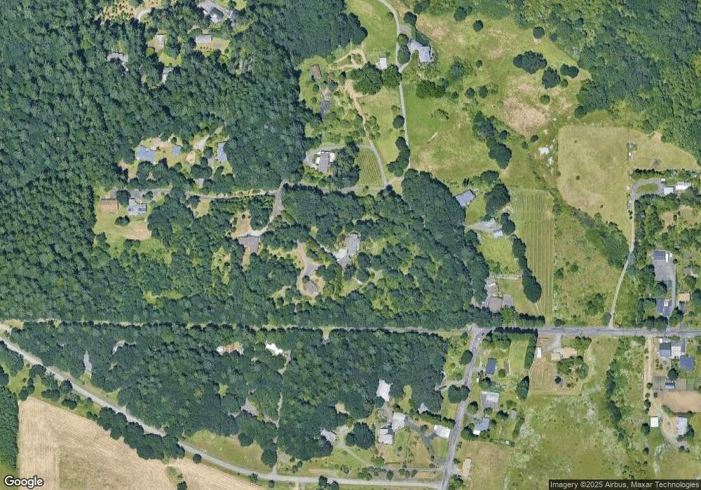
Map
Nearby Homes
- 769 N 9th St
- 714 Grouse Place
- 791 Quail Glenn Dr
- 1284 N 19th St Unit 92 St
- 502 N 8th St Unit 17 St
- 538 Starlight Way
- 990 Pippa Ln
- 609 Coastal View Dr (Lan
- 355 N 13th St
- 815 Applegate St Unit Lot 1
- 815 Applegate St Unit 1 St
- 33941 Marys River Estates Rd
- 1717 Main St
- 2148 Main St
- 1505 Willow Ln
- 308 S 24th St
- 760 S 16th St
- 783 S 15th St
- 2752 Newton St
- 24321 Columbine Dr
Your Personal Tour Guide
Ask me questions while you tour the home.