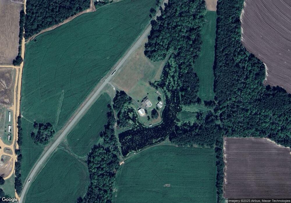
7540 Ga Highway 33 Boston, GA 31626
Estimated Value: $284,000 - $948,311
--
Bed
1
Bath
2,403
Sq Ft
$256/Sq Ft
Est. Value
About This Home
This home is located at 7540 Ga Highway 33, Boston, GA 31626 and is currently estimated at $616,156, approximately $256 per square foot. 7540 Ga Highway 33 is a home with nearby schools including Hand in Hand Primary School, Garrison-Pilcher Elementary School, and Cross Creek Elementary School.
Ownership History
Date
Name
Owned For
Owner Type
Purchase Details
Closed on
Mar 7, 2018
Sold by
Messer Dairy Inc
Bought by
Messer Sheila Ann
Current Estimated Value
Purchase Details
Closed on
Apr 24, 2001
Sold by
Price John E Jr Tru
Bought by
Messer Dairy Inc
Purchase Details
Closed on
Jun 18, 1999
Sold by
Price John E
Bought by
Price John E Jr Tru
Purchase Details
Closed on
Feb 28, 1986
Bought by
Price John E
Create a Home Valuation Report for This Property
The Home Valuation Report is an in-depth analysis detailing your home's value as well as a comparison with similar homes in the area
Home Values in the Area
Average Home Value in this Area
Purchase History
| Date | Buyer | Sale Price | Title Company |
|---|---|---|---|
| Messer Sheila Ann | -- | -- | |
| Messer Dairy Inc | $157,000 | -- | |
| Price John E Jr Tru | -- | -- | |
| Price John E | -- | -- |
Source: Public Records
Tax History Compared to Growth
Tax History
| Year | Tax Paid | Tax Assessment Tax Assessment Total Assessment is a certain percentage of the fair market value that is determined by local assessors to be the total taxable value of land and additions on the property. | Land | Improvement |
|---|---|---|---|---|
| 2024 | $4,139 | $315,159 | $156,598 | $158,561 |
| 2023 | $3,785 | $302,663 | $155,701 | $146,962 |
| 2022 | $3,766 | $285,209 | $155,701 | $129,508 |
| 2021 | $3,671 | $246,248 | $134,692 | $111,556 |
| 2020 | $3,631 | $241,950 | $134,692 | $107,258 |
| 2019 | $3,646 | $241,950 | $134,692 | $107,258 |
| 2018 | $4,730 | $182,554 | $77,491 | $105,063 |
| 2017 | $4,557 | $173,161 | $77,491 | $95,670 |
| 2016 | $4,527 | $170,830 | $77,491 | $93,338 |
| 2015 | $4,489 | $166,773 | $77,491 | $89,282 |
| 2014 | $4,459 | $164,916 | $77,491 | $87,424 |
| 2013 | -- | $178,954 | $91,530 | $87,424 |
Source: Public Records
Map
Nearby Homes
- 7402 Coffee Rd
- 1038-BA Church St
- 9900 Ozell Rd
- 431 Dry Lake Rd
- 1136 Nesbitt Rd
- 7921 Five Forks Rd
- 2818 Dry Lake Rd
- 813 Vonier Road (6 Acres)
- 13876 Ga Highway 122
- 185 Community Ln
- 2055 S Roberts St
- 1230 Parrish Rd
- 2051 W Pear St
- 4311 Ozell Rd
- 110 Nicole Britt Dr
- 101 Bailey Cir
- 201 Bailey Cir
- 682 Salem Rd
- 3141 S Bubba Christful Rd
- 3109 Georgia 33
- 3028 S Cedar St
- 3009 S Cedar St
- 2195 Coffee Rd
- 3049 Kendrick St
- 3049 S Bubba Christful St
- 8497 Dixie Barwick Rd
- 1143 W Coffee St
- 1143 Coffee Rd
- 1090 E Coffee St
- 1311 Coffee Rd
- 83 Massey St
- 2136 Coffee Rd
- 2136 W Coffee St
- 1056 E Coffee St
- 0 Georgia 33
- 12 Coffee St
- 1025-BA E Coffee St
- 8534 Dixie Barwick Rd