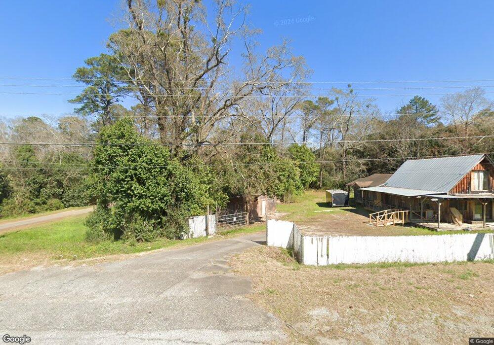
7540 Hawkinsville Rd Macon, GA 31216
Estimated Value: $119,000
1
Bed
1
Bath
480
Sq Ft
$248/Sq Ft
Est. Value
About This Home
This home is located at 7540 Hawkinsville Rd, Macon, GA 31216 and is currently estimated at $119,000, approximately $247 per square foot. 7540 Hawkinsville Rd is a home located in Bibb County with nearby schools including Heard Elementary School, Rutland Middle School, and Rutland High School.
Ownership History
Date
Name
Owned For
Owner Type
Purchase Details
Closed on
Apr 19, 2018
Sold by
Reno Joy
Bought by
Green Pine Lane Llc
Current Estimated Value
Purchase Details
Closed on
Feb 23, 2007
Sold by
Nicoletti Andrew
Bought by
Reno Joy
Home Financials for this Owner
Home Financials are based on the most recent Mortgage that was taken out on this home.
Original Mortgage
$140,000
Interest Rate
6.19%
Mortgage Type
Unknown
Create a Home Valuation Report for This Property
The Home Valuation Report is an in-depth analysis detailing your home's value as well as a comparison with similar homes in the area
Home Values in the Area
Average Home Value in this Area
Purchase History
| Date | Buyer | Sale Price | Title Company |
|---|---|---|---|
| Green Pine Lane Llc | $300,000 | None Available | |
| Reno Joy | $160,000 | None Available |
Source: Public Records
Mortgage History
| Date | Status | Borrower | Loan Amount |
|---|---|---|---|
| Previous Owner | Reno Joy | $140,000 |
Source: Public Records
Tax History Compared to Growth
Tax History
| Year | Tax Paid | Tax Assessment Tax Assessment Total Assessment is a certain percentage of the fair market value that is determined by local assessors to be the total taxable value of land and additions on the property. | Land | Improvement |
|---|---|---|---|---|
| 2024 | $2,508 | $98,735 | $86,800 | $11,935 |
| 2023 | $2,131 | $98,735 | $86,800 | $11,935 |
| 2022 | $2,067 | $59,696 | $43,942 | $15,754 |
| 2021 | $2,268 | $59,696 | $43,942 | $15,754 |
| 2020 | $2,318 | $59,696 | $43,942 | $15,754 |
| 2019 | $2,377 | $60,734 | $43,942 | $16,792 |
| 2018 | $3,641 | $60,734 | $43,942 | $16,792 |
| 2017 | $2,276 | $60,735 | $43,943 | $16,792 |
| 2016 | $2,101 | $60,735 | $43,943 | $16,792 |
| 2015 | -- | $62,847 | $43,943 | $18,904 |
| 2014 | -- | $6,611 | $0 | $6,611 |
Source: Public Records
Map
Nearby Homes
- 7386 Hawkinsville Rd
- 2165 Griffin Rd
- 7070 Sofkee Place
- 312 Buckskin Dr
- 8410 Hawkinsville Rd Unit LOT 42
- 4037 Liberty Estates Dr
- 4025 Liberty Estates Dr
- 1850 Barnes Ferry Rd
- 2741 Liberty Church Rd
- 116 Wynens Way
- 261 Amanda Dr
- 0 Ponderosa Dr
- 120 Abberley Ln
- 208 Liberty Trace
- Plan 2700 at The Abberley
- Plan 2604 at The Abberley
- 213 Liberty Trace
- 117 Abberley Ln
- 149 Lew Dr
- 7540 Hawkinsville Rd Unit LOT 26
- 7518 Hawkinsville Rd
- 7550 Hawkinsville Rd
- 7610 Hawkinsville Rd
- 7450 Hawkinsville Rd
- 7650 Hawkinsville Rd
- 7658 Hawkinsville Rd
- 7702 Hawkinsville Rd
- 7393 Hawkinsville Rd
- 7380 Hawkinsville Rd
- 7379 Hawkinsville Rd
- 7376 Hawkinsville Rd
- 7725 Hawkinsville Rd
- 7758 Hawkinsville Rd
- 7364 Hawkinsville Rd
- 7745 Hawkinsville Rd
- 7743 Hawkinsville Rd
- 7339 Hawkinsville Rd
- 7351 Brooks Dr
- 7324 Hawkinsville Rd