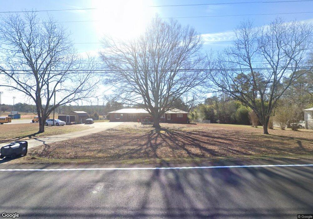
7541 Highway 78 Winston, GA 30187
Winston NeighborhoodEstimated Value: $253,000 - $300,000
3
Beds
2
Baths
1,985
Sq Ft
$138/Sq Ft
Est. Value
About This Home
This home is located at 7541 Highway 78, Winston, GA 30187 and is currently estimated at $274,037, approximately $138 per square foot. 7541 Highway 78 is a home located in Douglas County with nearby schools including Winston Elementary School, Mason Creek Middle School, and Douglas County High School.
Ownership History
Date
Name
Owned For
Owner Type
Purchase Details
Closed on
Sep 4, 2003
Sold by
Ellis Forrest and Ellis Geneva
Bought by
Timms Clarence A and Timms Melissa
Current Estimated Value
Home Financials for this Owner
Home Financials are based on the most recent Mortgage that was taken out on this home.
Original Mortgage
$135,000
Outstanding Balance
$28,646
Interest Rate
6.33%
Estimated Equity
$245,391
Create a Home Valuation Report for This Property
The Home Valuation Report is an in-depth analysis detailing your home's value as well as a comparison with similar homes in the area
Home Values in the Area
Average Home Value in this Area
Purchase History
| Date | Buyer | Sale Price | Title Company |
|---|---|---|---|
| Timms Clarence A | $135,000 | -- |
Source: Public Records
Mortgage History
| Date | Status | Borrower | Loan Amount |
|---|---|---|---|
| Open | Timms Clarence A | $135,000 |
Source: Public Records
Tax History Compared to Growth
Tax History
| Year | Tax Paid | Tax Assessment Tax Assessment Total Assessment is a certain percentage of the fair market value that is determined by local assessors to be the total taxable value of land and additions on the property. | Land | Improvement |
|---|---|---|---|---|
| 2024 | $1,700 | $70,200 | $10,080 | $60,120 |
| 2023 | $1,700 | $73,600 | $13,480 | $60,120 |
| 2022 | $1,494 | $57,080 | $9,600 | $47,480 |
| 2021 | $1,308 | $47,680 | $9,600 | $38,080 |
| 2020 | $1,334 | $47,680 | $9,600 | $38,080 |
| 2019 | $1,250 | $46,800 | $9,600 | $37,200 |
| 2018 | $1,224 | $45,240 | $9,600 | $35,640 |
| 2017 | $1,145 | $40,520 | $9,000 | $31,520 |
| 2016 | $989 | $33,960 | $8,360 | $25,600 |
| 2015 | $908 | $30,920 | $8,360 | $22,560 |
| 2014 | $948 | $31,560 | $10,480 | $21,080 |
| 2013 | -- | $31,560 | $10,480 | $21,080 |
Source: Public Records
Map
Nearby Homes
- 2771 Mann Rd
- 7771 Mattie McCoy Ln
- 7827 Poppy Seed Place
- 7780 Poppy Dr
- 3096 Campground Rd
- 7911 Conners Rd
- 0 Richardson Rd Unit 6979235
- 2967 Ward Dr
- 6854 John West Rd
- 3630 Falls Trail
- 7533 Mason Falls Dr
- 2575 Hamrick Rd
- 2625 Hamrick Rd
- 6074 Locklear Way
- 6054 Locklear Way
- 0 Cowan Ridge Dr Unit 10225526
- 3737 Falls Trail
- 6024 Locklear Way
- 13761 Veterans Memorial Hwy
- 7561 Highway 78
- 13771 Veterans Memorial Hwy
- 7571 Highway 78
- 13750 Veterans Memorial Hwy
- 7546 Highway 78
- 0 Bankhead Hwy Unit 3158894
- 13790 Veterans Memorial Hwy
- 7510 Highway 78
- 0 Mattie McCoy Ln
- 0 Mattie McCoy Ln Unit 8630675
- 0 Mattie McCoy Ln Unit 8642546
- 0 Mattie McCoy Ln Unit 8408378
- 0 Mattie McCoy Ln Unit 7638702
- 0 Mattie McCoy Ln Unit 7233081
- 0 Mattie McCoy Ln Unit 7638836
- 0 Mattie McCoy Ln Unit 8316535
- 0 Mattie McCoy Ln Unit 5688150
- 0 Mattie McCoy Ln Unit 5956726
- 7480 Highway 78