7549 E Brannan Rd South Range, WI 54874
Estimated Value: $187,000 - $323,000
4
Beds
1
Bath
1,520
Sq Ft
$167/Sq Ft
Est. Value
About This Home
This home is located at 7549 E Brannan Rd, South Range, WI 54874 and is currently estimated at $253,949, approximately $167 per square foot. 7549 E Brannan Rd is a home located in Douglas County with nearby schools including Northwestern High School.
Ownership History
Date
Name
Owned For
Owner Type
Purchase Details
Closed on
Jun 29, 2021
Sold by
Botten Cindy K
Bought by
Shisler Jesse
Current Estimated Value
Purchase Details
Closed on
Oct 18, 2011
Sold by
Truax Jeffrey S
Bought by
Botten Cindy K and Truax Cindy K
Purchase Details
Closed on
Jun 26, 2009
Sold by
Emc Mortgage Corporation
Bought by
Truax Cindy
Purchase Details
Closed on
Nov 11, 2008
Sold by
Foster Nicol S
Bought by
Emc Mortgage Corporation
Create a Home Valuation Report for This Property
The Home Valuation Report is an in-depth analysis detailing your home's value as well as a comparison with similar homes in the area
Purchase History
| Date | Buyer | Sale Price | Title Company |
|---|---|---|---|
| Shisler Jesse | $107,500 | -- | |
| Botten Cindy K | $88,000 | -- | |
| Truax Cindy | $86,000 | -- | |
| Emc Mortgage Corporation | $89,800 | -- |
Source: Public Records
Tax History
| Year | Tax Paid | Tax Assessment Tax Assessment Total Assessment is a certain percentage of the fair market value that is determined by local assessors to be the total taxable value of land and additions on the property. | Land | Improvement |
|---|---|---|---|---|
| 2024 | $1,358 | $102,800 | $23,600 | $79,200 |
| 2023 | $1,633 | $102,800 | $23,600 | $79,200 |
| 2022 | $1,517 | $102,800 | $23,600 | $79,200 |
| 2021 | $1,679 | $102,800 | $23,600 | $79,200 |
| 2020 | $1,645 | $88,100 | $22,200 | $65,900 |
| 2019 | $1,644 | $88,100 | $22,200 | $65,900 |
| 2018 | $1,947 | $88,100 | $22,200 | $65,900 |
| 2017 | $1,509 | $88,100 | $22,200 | $65,900 |
| 2016 | $1,594 | $88,100 | $22,200 | $65,900 |
| 2015 | $1,552 | $65,900 | $22,200 | $65,900 |
| 2014 | $1,552 | $88,100 | $22,200 | $65,900 |
| 2013 | $1,561 | $88,100 | $22,200 | $65,900 |
Source: Public Records
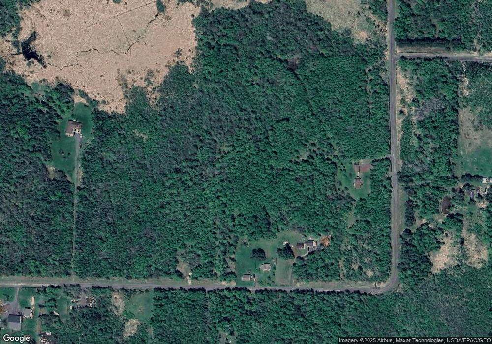
Map
Nearby Homes
- 6474 S Jacksino Rd
- 8562 Kent Rd
- 2910 County Rd E
- XXXX Lackson Rd
- Lot 2 40 acres County Road L
- Lot 1 County Road L
- Lot 1 40 acres County Road L
- 4390 S Kellogg Rd Unit Town of Amnicon
- 4390 S Kellogg Rd
- 8148 E Spaulding Rd
- 5600 Otto Rd
- 6692 E County Road C
- 5600 Otto Rd
- 84xx Maki Rd
- 59XX Tri Lakes Rd
- Lot 2 County Road L
- 8574 S Old 11 Rd
- 9377 E Wood Lot 3 (Parcel 3) Rd
- 9377 E Rd
- 9377 E Wood Lot 6 (Parcel 6) Rd
- 7557 E Brannan Rd
- 6343 S Hines Rd
- 7506 E Brannan Rd
- 7506 E Brannan Rd
- 75xx Brannan Road Rd
- 75xx Brannan Rd
- 7544E S Brannan Rd
- 754XE S Brannan Rd
- 6350 S Hines Rd
- 7475 E Brannan Rd
- 7450 E Brannan Rd
- 7690 E Powell Ln
- 7685 E Powell Ln
- 7387 E Brannan Rd
- 6205 S Hines Rd
- 7348 E Brannan Rd
- 7710 E Powell Ln
- 6194 S Hines Rd
- 7719 E Powell Ln
- 7355 E Brannan Rd
Your Personal Tour Guide
Ask me questions while you tour the home.