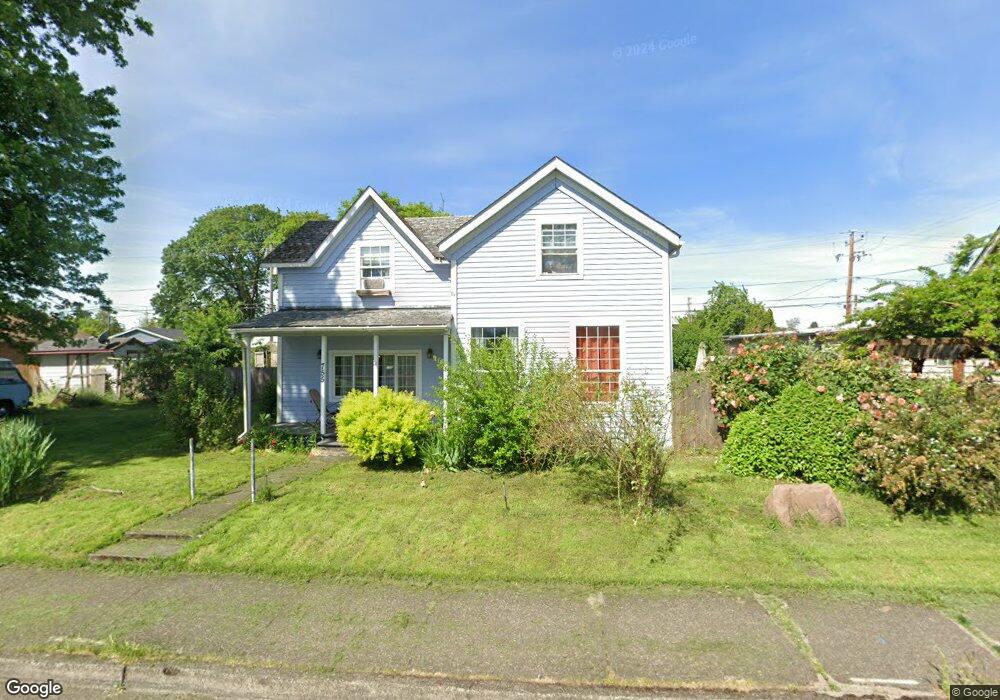
755 Deal St Junction City, OR 97448
Estimated Value: $339,000 - $386,000
4
Beds
2
Baths
1,666
Sq Ft
$219/Sq Ft
Est. Value
About This Home
This home is located at 755 Deal St, Junction City, OR 97448 and is currently estimated at $365,351, approximately $219 per square foot. 755 Deal St is a home located in Lane County with nearby schools including Junction City High School.
Ownership History
Date
Name
Owned For
Owner Type
Purchase Details
Closed on
Jul 29, 2013
Sold by
Robertson Timothy and Robertson Kathleen
Bought by
Mutterspaugh James J and Mutterspaugh Sarah J
Current Estimated Value
Home Financials for this Owner
Home Financials are based on the most recent Mortgage that was taken out on this home.
Original Mortgage
$157,653
Outstanding Balance
$117,568
Interest Rate
4.46%
Mortgage Type
New Conventional
Estimated Equity
$247,783
Purchase Details
Closed on
Jan 23, 2004
Sold by
Fenton Michael A and Fenton Lorrie K
Bought by
Robertson Timothy and Robertson Kathleen
Home Financials for this Owner
Home Financials are based on the most recent Mortgage that was taken out on this home.
Original Mortgage
$121,600
Interest Rate
3.25%
Mortgage Type
Purchase Money Mortgage
Create a Home Valuation Report for This Property
The Home Valuation Report is an in-depth analysis detailing your home's value as well as a comparison with similar homes in the area
Home Values in the Area
Average Home Value in this Area
Purchase History
| Date | Buyer | Sale Price | Title Company |
|---|---|---|---|
| Mutterspaugh James J | $154,500 | Western Title & Escrow Co | |
| Robertson Timothy | $152,000 | American Title Group |
Source: Public Records
Mortgage History
| Date | Status | Borrower | Loan Amount |
|---|---|---|---|
| Open | Mutterspaugh James J | $157,653 | |
| Previous Owner | Robertson Timothy | $121,600 |
Source: Public Records
Tax History Compared to Growth
Tax History
| Year | Tax Paid | Tax Assessment Tax Assessment Total Assessment is a certain percentage of the fair market value that is determined by local assessors to be the total taxable value of land and additions on the property. | Land | Improvement |
|---|---|---|---|---|
| 2024 | $2,693 | $160,391 | -- | -- |
| 2023 | $2,693 | $155,720 | $0 | $0 |
| 2022 | $2,512 | $151,185 | $0 | $0 |
| 2021 | $2,462 | $146,782 | $0 | $0 |
| 2020 | $2,383 | $142,507 | $0 | $0 |
| 2019 | $2,299 | $138,357 | $0 | $0 |
| 2018 | $2,233 | $130,416 | $0 | $0 |
| 2017 | $2,154 | $130,416 | $0 | $0 |
| 2016 | $2,095 | $126,617 | $0 | $0 |
| 2015 | $1,852 | $122,929 | $0 | $0 |
| 2014 | $1,859 | $119,349 | $0 | $0 |
Source: Public Records
Map
Nearby Homes
- 805 Deal St
- 954 Elm St
- 1021 Deal St
- 810 Birch St
- 346 E 10th Place
- 1010 Birch Place
- 930 Holly St
- 0 Holly St
- 617 Juniper St
- 271 Alder St
- 351 Juniper St
- 1262 Kalmia St
- 1480 Ivy St
- 1377 Juniper St
- 1225 W 10th Ave Unit 53
- 1225 W 10th Ave Unit 50
- 1225 W 10th Ave Unit 28
- 1225 W 10th Ave Unit 26
- 945 W 17th Ave
- 93982 Prairie (Off Street) Rd