755 Horn Pipe Rd Deep Run, NC 28525
4
Beds
2
Baths
2,052
Sq Ft
0.59
Acres Lot
About This Home
This home is located at 755 Horn Pipe Rd, Deep Run, NC 28525. 755 Horn Pipe Rd is a home located in Lenoir County with nearby schools including Pink Hill Elementary School, Woodington Middle School, and South Lenoir High School.
Create a Home Valuation Report for This Property
The Home Valuation Report is an in-depth analysis detailing your home's value as well as a comparison with similar homes in the area
Home Values in the Area
Average Home Value in this Area
Tax History
| Year | Tax Paid | Tax Assessment Tax Assessment Total Assessment is a certain percentage of the fair market value that is determined by local assessors to be the total taxable value of land and additions on the property. | Land | Improvement |
|---|---|---|---|---|
| 2025 | $1,472 | $189,250 | $18,420 | $170,830 |
| 2024 | $1,096 | $108,779 | $12,567 | $96,212 |
| 2023 | $1,074 | $108,779 | $12,567 | $96,212 |
| 2022 | $1,074 | $108,779 | $12,567 | $96,212 |
| 2021 | $1,074 | $108,779 | $12,567 | $96,212 |
| 2020 | $1,074 | $108,779 | $12,567 | $96,212 |
| 2019 | $1,074 | $108,779 | $12,567 | $96,212 |
| 2018 | $1,058 | $108,779 | $12,567 | $96,212 |
| 2017 | $1,058 | $108,779 | $12,567 | $96,212 |
| 2014 | $1,140 | $118,017 | $12,567 | $105,450 |
| 2013 | -- | $118,017 | $12,567 | $105,450 |
| 2011 | -- | $118,017 | $12,567 | $105,450 |
Source: Public Records
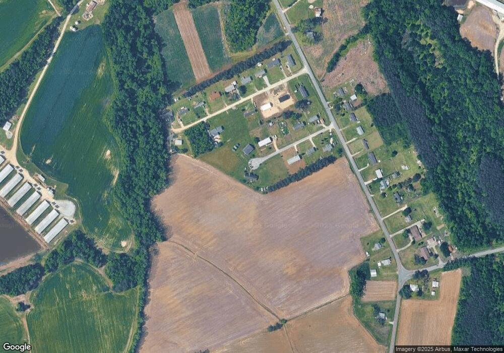
Map
Nearby Homes
- 2651 Mark N Smith Rd
- 3222 Perry Blizzard Rd
- 5978 Hwy 258 S
- 1703 Walnut Run Dr
- 1775 Walnut Run Dr
- 1721 Walnut Run Dr
- 1749 Walnut Run Dr
- 2201 Trent Cir
- 1807 Will Cunningham Rd
- 1443 Bland Howell Rd
- 1615 Leslie R Stroud Rd
- 911 Albrittons Rd
- 919 Albrittons Rd
- 00 E Pleasant Hill Rd
- 3028 Condor Ct
- 3030 Falcon Ct
- 3043 Falcon Ct
- 3055 Falcon Ct
- 4048 Bob Stroud Rd
- 1838 Greene Haynes Rd
- 733 Hornpipe Rd
- 721 Horn Pipe Rd
- 736 Tracy Rd
- 792 Tracy Rd
- 2641 Mark N Smith Rd
- 2649 Mark N Smith Rd
- 716 Tracy Rd
- 2690 Mark N Smith Rd
- 2551 Mark N Smith Rd
- 2704 Mark N Smith Rd
- 2681 Mark N Smith Rd
- 2695 Mark N Smith Rd
- 2736 Mark N Smith Rd
- 1280 Sandy Foundation Rd
- 2723 Mark N Smith Rd
- 2468 Mark N Smith Rd
- 2792 Mark N Smith Rd
- 2434 Mark N Smith Rd
- 2848 Perry Blizzard Rd
- 2402 Mark N Smith Rd
Your Personal Tour Guide
Ask me questions while you tour the home.