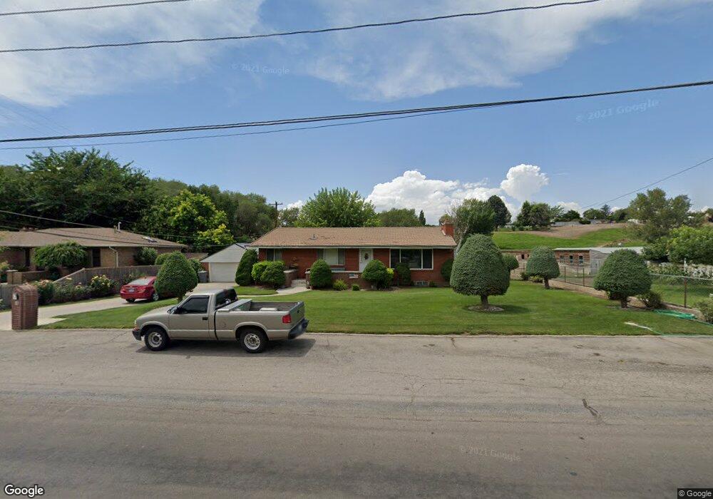
755 N 200 E American Fork, UT 84003
Estimated Value: $532,000 - $615,000
4
Beds
3
Baths
1,305
Sq Ft
$436/Sq Ft
Est. Value
About This Home
This home is located at 755 N 200 E, American Fork, UT 84003 and is currently estimated at $568,652, approximately $435 per square foot. 755 N 200 E is a home located in Utah County with nearby schools including Forbes Elementary School, American Fork Junior High School, and American Fork High School.
Ownership History
Date
Name
Owned For
Owner Type
Purchase Details
Closed on
Dec 15, 2025
Sold by
Armitstead Neil M and Armitstead Gay B
Bought by
American Fork City
Current Estimated Value
Purchase Details
Closed on
Feb 2, 2011
Sold by
Armitstead Neil M and Armitstead Gay
Bought by
Armitstead Neil M and Armitstead Gay B
Purchase Details
Closed on
Oct 17, 2002
Sold by
Armitstead Neil M and Armitstead Gay
Bought by
Armitstead Neil M and Armitstead Gay
Home Financials for this Owner
Home Financials are based on the most recent Mortgage that was taken out on this home.
Original Mortgage
$62,500
Interest Rate
6.09%
Create a Home Valuation Report for This Property
The Home Valuation Report is an in-depth analysis detailing your home's value as well as a comparison with similar homes in the area
Home Values in the Area
Average Home Value in this Area
Purchase History
| Date | Buyer | Sale Price | Title Company |
|---|---|---|---|
| American Fork City | -- | None Listed On Document | |
| Armitstead Neil M | -- | Provo Land Title Company | |
| Armitstead Neil M | -- | Signature Title |
Source: Public Records
Mortgage History
| Date | Status | Borrower | Loan Amount |
|---|---|---|---|
| Previous Owner | Armitstead Neil M | $62,500 |
Source: Public Records
Tax History
| Year | Tax Paid | Tax Assessment Tax Assessment Total Assessment is a certain percentage of the fair market value that is determined by local assessors to be the total taxable value of land and additions on the property. | Land | Improvement |
|---|---|---|---|---|
| 2025 | $2,524 | $304,315 | -- | -- |
| 2024 | $2,401 | $280,390 | $0 | $0 |
| 2023 | $2,401 | $282,810 | $0 | $0 |
| 2022 | $2,762 | $321,145 | $0 | $0 |
| 2021 | $2,237 | $406,200 | $170,400 | $235,800 |
| 2020 | $2,081 | $366,500 | $152,100 | $214,400 |
| 2019 | $1,812 | $330,100 | $143,700 | $186,400 |
| 2018 | $1,659 | $288,900 | $126,800 | $162,100 |
| 2017 | $1,558 | $146,410 | $0 | $0 |
| 2016 | $1,362 | $118,910 | $0 | $0 |
| 2015 | $1,317 | $109,175 | $0 | $0 |
| 2014 | $1,175 | $96,030 | $0 | $0 |
Source: Public Records
Map
Nearby Homes
- 822 N 150 E Unit 5
- 780 N 100 E
- 183 E 760 St N
- 788 N 150 E Unit 3
- 807 N 150 E
- 783 N 150 E
- 793 N 150 E
- 610 N 300 E
- 894 N 60 E
- 4650 W Magnolia Drive Dr Unit 8
- 10238 N 6530 W Unit 15
- 941 E S Ellens St Lot 3 St N Unit LOT 3
- 5277 N 11200 W Unit 4
- 5284 N 11200 W Unit 3
- 6079 W Whisper Ln Unit 404
- 1220 E 700 N
- 603 S 370 E
- 234 W 1080 N
- 1065 N 100 E
- 621 N 100 W
- 735 N 200 W
- 764 N 200 St E Unit 36375023
- 764 N 200 St E Unit 36372582
- 764 N 200 St E Unit 36372547
- 764 N 200 St E Unit 36375183
- 764 N 200 St E Unit 36375030
- 764 N 200 St E Unit 36375032
- 764 N 200 St E Unit 36374838
- 764 N 200 St E Unit 36375113
- 725 N 200 E
- 757 N 200 E
- 760 N 200 E
- 770 N 200 E
- 710 N 200 E
- 730 N 200 E
- 799 N 200 E
- 700 N 200 E
- 215 E 700 N
- 780 N 200 E
- 780 N 200 E Unit 9
Your Personal Tour Guide
Ask me questions while you tour the home.