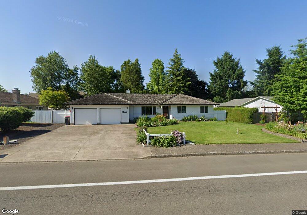
755 NW Baker Creek Rd McMinnville, OR 97128
Estimated Value: $514,041 - $547,000
3
Beds
2
Baths
1,822
Sq Ft
$291/Sq Ft
Est. Value
About This Home
This home is located at 755 NW Baker Creek Rd, McMinnville, OR 97128 and is currently estimated at $530,260, approximately $291 per square foot. 755 NW Baker Creek Rd is a home located in Yamhill County with nearby schools including Memorial Elementary School, Patton Middle School, and McMinnville High School.
Ownership History
Date
Name
Owned For
Owner Type
Purchase Details
Closed on
Mar 2, 2011
Sold by
Reeder Deen T and Reeder Charline D
Bought by
Reeder Deen T and Reeder Charline D
Current Estimated Value
Purchase Details
Closed on
Feb 26, 2010
Sold by
Ellis Nancy
Bought by
Reeder Deen T and Reeder Charline D
Home Financials for this Owner
Home Financials are based on the most recent Mortgage that was taken out on this home.
Original Mortgage
$162,000
Outstanding Balance
$107,317
Interest Rate
4.97%
Mortgage Type
New Conventional
Estimated Equity
$422,943
Purchase Details
Closed on
May 1, 2008
Sold by
Deason Edna M
Bought by
Deason Edna M and Ellis Nancy
Create a Home Valuation Report for This Property
The Home Valuation Report is an in-depth analysis detailing your home's value as well as a comparison with similar homes in the area
Home Values in the Area
Average Home Value in this Area
Purchase History
| Date | Buyer | Sale Price | Title Company |
|---|---|---|---|
| Reeder Deen T | -- | None Available | |
| Reeder Deen T | $180,000 | Western Title & Escrow | |
| Deason Edna M | -- | None Available |
Source: Public Records
Mortgage History
| Date | Status | Borrower | Loan Amount |
|---|---|---|---|
| Open | Reeder Deen T | $162,000 |
Source: Public Records
Tax History Compared to Growth
Tax History
| Year | Tax Paid | Tax Assessment Tax Assessment Total Assessment is a certain percentage of the fair market value that is determined by local assessors to be the total taxable value of land and additions on the property. | Land | Improvement |
|---|---|---|---|---|
| 2024 | $4,964 | $285,617 | -- | -- |
| 2023 | $4,687 | $277,298 | $0 | $0 |
| 2022 | $4,440 | $269,221 | $0 | $0 |
| 2021 | $4,335 | $261,380 | $0 | $0 |
| 2020 | $4,301 | $253,767 | $0 | $0 |
| 2019 | $4,184 | $246,376 | $0 | $0 |
| 2018 | $4,101 | $239,200 | $0 | $0 |
| 2017 | $3,958 | $232,233 | $0 | $0 |
| 2016 | $3,817 | $225,469 | $0 | $0 |
| 2015 | $3,724 | $218,903 | $0 | $0 |
| 2014 | $3,523 | $212,529 | $0 | $0 |
Source: Public Records
Map
Nearby Homes
- 2286 NW Michelbook Ln
- 2221 NW Elm St
- 2735 NW Pinehurst Dr Unit 5
- 3192 NW Pinehurst Dr Unit 76
- 1564 NW Pinehurst Dr Unit 106
- 2799 NW Pinehurst Dr Unit 11
- 2787 NW Pinehurst Dr Unit 10
- 2897 NW Pinehurst Dr Unit 13
- 2719 NW Pinehurst Dr Unit 3
- 2743 NW Pinehurst Dr Unit 6
- 3106 NW Pinehurst Dr Unit 49
- 2805 NW Pinehurst Dr Unit 12
- 1536 NW Pinehurst Dr Unit 108
- 3200 NW Pinehurst Dr Unit 75
- 2769 NW Pinehurst Dr Unit 8
- 2925 NW Pinehurst Dr Unit 14
- 2713 NW Pinehurst Dr Unit 2
- 3164 NW Pinehurst Dr Unit 77
- 3046 NW Pinehurst Dr Unit 46
- 1592 NW Pinehurst Dr Unit 105
- 731 NW Baker Creek Rd
- 2320 NW Crimson Ct
- 2350 NW Crimson Ct
- 715 NW Baker Creek Rd
- 2181 NW Chrystal Dr
- 654 NW Jason Ct
- 2189 NW Chrystal Dr
- 2394 NW Crimson Ct
- 660 NW Jason Ct
- 2175 NW Chrystal Dr
- 2325 NW Crimson Ct
- 650 NW Jason Ct
- 2150 NW Chrystal Dr
- 670 NW Jason Ct
- 2351 NW Crimson Ct
- 2171 NW Chrystal Dr
- 2420 NW Crimson Ct
- 855 NW Baker Creek Rd
- 2180 NW Chrystal Dr
- 629 NW Baker Creek Rd