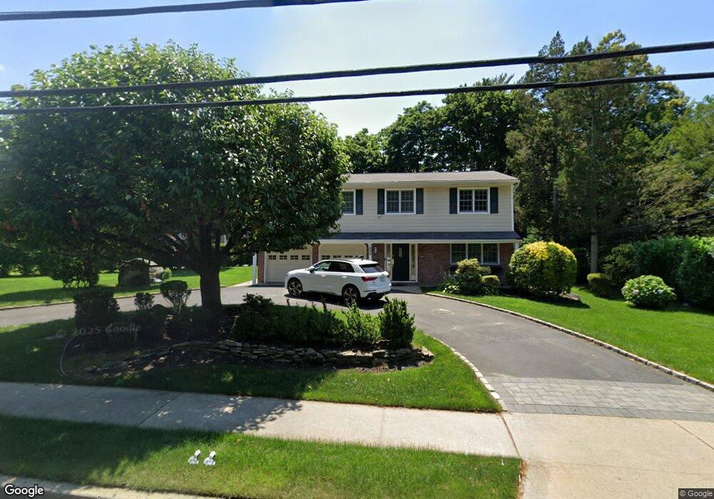
755 Plandome Rd Manhasset, NY 11030
Plandome Heights NeighborhoodEstimated Value: $1,719,000 - $1,861,613
--
Bed
3
Baths
2,184
Sq Ft
$820/Sq Ft
Est. Value
About This Home
This home is located at 755 Plandome Rd, Manhasset, NY 11030 and is currently estimated at $1,790,307, approximately $819 per square foot. 755 Plandome Rd is a home located in Nassau County with nearby schools including Manhasset Secondary School, St Mary's Elementary School, and Our Lady of Grace Montessori School.
Ownership History
Date
Name
Owned For
Owner Type
Purchase Details
Closed on
Jun 14, 2011
Sold by
Dolias Janet
Bought by
Poirier Jason and Lazar Teresa
Current Estimated Value
Home Financials for this Owner
Home Financials are based on the most recent Mortgage that was taken out on this home.
Original Mortgage
$729,750
Outstanding Balance
$501,025
Interest Rate
4.62%
Mortgage Type
Purchase Money Mortgage
Estimated Equity
$1,289,282
Purchase Details
Closed on
Jun 1, 2005
Sold by
Dolias Ioannis
Create a Home Valuation Report for This Property
The Home Valuation Report is an in-depth analysis detailing your home's value as well as a comparison with similar homes in the area
Home Values in the Area
Average Home Value in this Area
Purchase History
| Date | Buyer | Sale Price | Title Company |
|---|---|---|---|
| Poirier Jason | $920,000 | -- | |
| Poirier Jason | $920,000 | -- | |
| Poirier Jason | $920,000 | -- | |
| Poirier Jason | $920,000 | -- | |
| -- | -- | -- | |
| -- | -- | -- |
Source: Public Records
Mortgage History
| Date | Status | Borrower | Loan Amount |
|---|---|---|---|
| Open | Poirier Jason | $729,750 | |
| Closed | Poirier Jason | $729,750 |
Source: Public Records
Tax History Compared to Growth
Tax History
| Year | Tax Paid | Tax Assessment Tax Assessment Total Assessment is a certain percentage of the fair market value that is determined by local assessors to be the total taxable value of land and additions on the property. | Land | Improvement |
|---|---|---|---|---|
| 2025 | $18,421 | $1,211 | $760 | $451 |
| 2024 | $5,225 | $1,211 | $760 | $451 |
| 2023 | $17,745 | $1,211 | $760 | $451 |
| 2022 | $17,745 | $1,211 | $760 | $451 |
| 2021 | $17,856 | $1,209 | $759 | $450 |
| 2020 | $18,110 | $1,931 | $1,543 | $388 |
| 2019 | $17,567 | $1,931 | $1,543 | $388 |
| 2018 | $15,958 | $1,931 | $0 | $0 |
| 2017 | $9,894 | $1,931 | $1,543 | $388 |
| 2016 | $14,664 | $1,931 | $1,543 | $388 |
| 2015 | $4,540 | $1,931 | $1,543 | $388 |
| 2014 | $4,540 | $1,931 | $1,543 | $388 |
| 2013 | $4,329 | $1,931 | $1,543 | $388 |
Source: Public Records
Map
Nearby Homes
- 15 Gaynor Ave Unit 2H
- 17 Highland Terrace
- 7 Shore Rd
- 115 Shore Rd
- 90 Gaynor Ave
- 42 Mora Ct
- 1054 Plandome Rd
- 14 Combes Dr
- 44 North Dr
- 17 Pinewood Rd
- 4 Kimson Ct
- 320 E Shore Rd Unit 10C
- 320 E Shore Rd Unit C
- 320 E Shore Rd Unit 11b
- 320 E Shore Rd Unit 2-A
- 300 Thompson Shore Rd
- 1270 Plandome Rd
- 53 Vista Hill Rd
- 63 Lake Rd
- 26 Ravine Rd
- 9 Summit Dr
- 761 Plandome Rd
- 750 Plandome Rd
- 15 Summit Dr
- 718 Plandome Rd
- 40 Grandview Cir
- 46 Grandview Cir
- 10 Summit Dr
- 34 Grandview Cir
- 4 Summit Dr
- 777 Plandome Rd
- 28 Grandview Cir
- 23 Summit Dr
- 15 Bourndale Rd N
- 675 Plandome Rd
- 10 Bourndale Rd N
- 26 Summit Dr
- 22 Grandview Cir
- 65 Grandview Cir
- 21 Bourndale Rd N