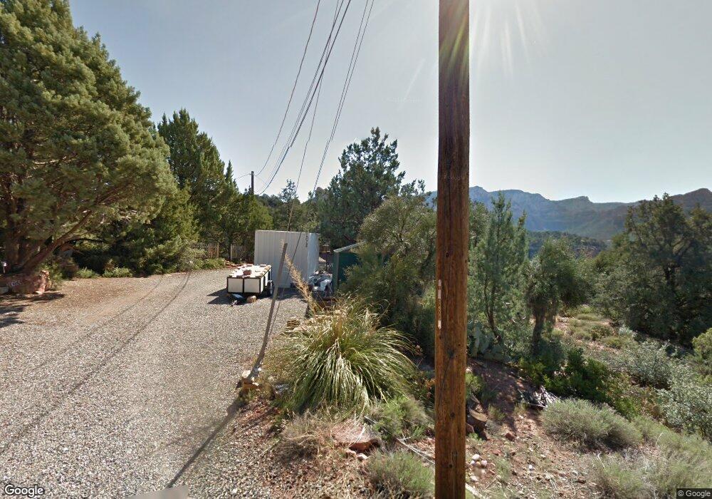
755 Quail Tail Trail Sedona, AZ 86336
Estimated Value: $627,220 - $1,676,000
--
Bed
--
Bath
1,552
Sq Ft
$639/Sq Ft
Est. Value
About This Home
This home is located at 755 Quail Tail Trail, Sedona, AZ 86336 and is currently estimated at $991,805, approximately $639 per square foot. 755 Quail Tail Trail is a home with nearby schools including Manuel Demiguel Elementary School and Flagstaff High School.
Ownership History
Date
Name
Owned For
Owner Type
Purchase Details
Closed on
Oct 31, 2024
Sold by
Hartman Stanford F
Bought by
Hartman Family Trust and Hartman
Current Estimated Value
Purchase Details
Closed on
Jul 24, 2007
Sold by
Hartman Leigh R
Bought by
Hartman Stanford Franklin
Home Financials for this Owner
Home Financials are based on the most recent Mortgage that was taken out on this home.
Original Mortgage
$184,000
Interest Rate
6.65%
Mortgage Type
Purchase Money Mortgage
Purchase Details
Closed on
Dec 12, 2005
Sold by
Hartman Stanford Fr
Bought by
Hartman Carolyn Ellen and Hartman Stanford Franklin
Create a Home Valuation Report for This Property
The Home Valuation Report is an in-depth analysis detailing your home's value as well as a comparison with similar homes in the area
Home Values in the Area
Average Home Value in this Area
Purchase History
| Date | Buyer | Sale Price | Title Company |
|---|---|---|---|
| Hartman Family Trust | -- | None Listed On Document | |
| Hartman Family Trust | -- | None Listed On Document | |
| Hartman Stanford Franklin | -- | Pioneer Title Agency Inc | |
| Hartman Stanford F | -- | Pioneer Title Agency Inc | |
| Hartman Carolyn Ellen | -- | -- |
Source: Public Records
Mortgage History
| Date | Status | Borrower | Loan Amount |
|---|---|---|---|
| Previous Owner | Hartman Stanford F | $184,000 |
Source: Public Records
Tax History Compared to Growth
Tax History
| Year | Tax Paid | Tax Assessment Tax Assessment Total Assessment is a certain percentage of the fair market value that is determined by local assessors to be the total taxable value of land and additions on the property. | Land | Improvement |
|---|---|---|---|---|
| 2025 | $1,924 | $49,027 | -- | -- |
| 2024 | $1,924 | $45,683 | -- | -- |
| 2023 | $1,766 | $33,762 | $0 | $0 |
| 2022 | $1,766 | $27,479 | $0 | $0 |
| 2021 | $1,712 | $25,981 | $0 | $0 |
| 2020 | $1,686 | $25,994 | $0 | $0 |
| 2019 | $1,638 | $25,343 | $0 | $0 |
| 2018 | $1,608 | $25,198 | $0 | $0 |
| 2017 | $1,597 | $28,683 | $0 | $0 |
| 2016 | $1,574 | $20,237 | $0 | $0 |
| 2015 | $1,482 | $18,357 | $0 | $0 |
Source: Public Records
Map
Nearby Homes
- 273 Hillside Ave
- 266 Circle Dr Unit 43
- 266 Circle Dr
- 540 Jordan Rd Unit 1
- 510 Sunset Ln
- 10 Sunrise Ave Unit 42
- 10 Sunrise Ave
- 520 Jordan Rd Unit 4
- 205 Munds Mountain Cir Unit 18
- 476 Smith Rd
- 55 Steamboat Trail Unit 11
- 65 Steamboat Trail
- 90 Elberta Dr
- 955 W Park Ridge Dr
- 321 N State Route 89a
- 90 Apache Trail
- 325 Smith Rd
- 35 Gassaway Place
- 289 Wilson Rd
- 40 Cibola Dr