755 Rifle Range Rd Gadsden, AL 35905
Estimated Value: $129,431 - $233,000
Studio
2
Baths
1,152
Sq Ft
$168/Sq Ft
Est. Value
About This Home
This home is located at 755 Rifle Range Rd, Gadsden, AL 35905 and is currently estimated at $194,108, approximately $168 per square foot. 755 Rifle Range Rd is a home located in Etowah County with nearby schools including Glencoe Elementary School, Glencoe Middle School, and Glencoe High School.
Ownership History
Date
Name
Owned For
Owner Type
Purchase Details
Closed on
Apr 28, 2017
Sold by
Hamrick Janice B and Hamrick Tommy T
Bought by
Bowen Kimberly and Patterson Nick
Current Estimated Value
Home Financials for this Owner
Home Financials are based on the most recent Mortgage that was taken out on this home.
Original Mortgage
$97,206
Outstanding Balance
$80,787
Interest Rate
4.25%
Mortgage Type
FHA
Estimated Equity
$113,321
Create a Home Valuation Report for This Property
The Home Valuation Report is an in-depth analysis detailing your home's value as well as a comparison with similar homes in the area
Home Values in the Area
Average Home Value in this Area
Purchase History
| Date | Buyer | Sale Price | Title Company |
|---|---|---|---|
| Bowen Kimberly | $99,000 | None Available |
Source: Public Records
Mortgage History
| Date | Status | Borrower | Loan Amount |
|---|---|---|---|
| Open | Bowen Kimberly | $97,206 |
Source: Public Records
Tax History
| Year | Tax Paid | Tax Assessment Tax Assessment Total Assessment is a certain percentage of the fair market value that is determined by local assessors to be the total taxable value of land and additions on the property. | Land | Improvement |
|---|---|---|---|---|
| 2025 | $373 | $10,300 | $1,760 | $8,540 |
| 2024 | $373 | $10,300 | $1,760 | $8,540 |
| 2023 | $373 | $10,270 | $1,750 | $8,520 |
| 2022 | $330 | $9,230 | $1,750 | $7,480 |
| 2021 | $237 | $6,970 | $1,020 | $5,950 |
| 2020 | $572 | $13,940 | $0 | $0 |
| 2019 | $572 | $13,940 | $0 | $0 |
| 2017 | $425 | $10,360 | $0 | $0 |
| 2016 | $425 | $10,360 | $0 | $0 |
| 2015 | $425 | $10,360 | $0 | $0 |
| 2013 | -- | $5,840 | $0 | $0 |
Source: Public Records
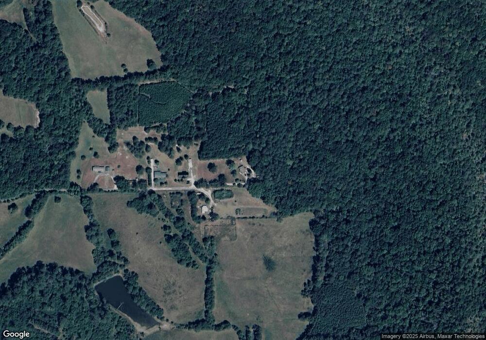
Map
Nearby Homes
- 1308 U S 431
- 416 Lenford Ave
- 516 Davis Dr
- Lot 15 Davis Dr Unit 15
- Lot 11 Davis Dr Unit 11
- LOT 13, 14 Davis Dr
- 302 Jo Cyn Dr
- 404 4th Ave E
- 1615 Estes Dr
- 920 E Haven Dr
- 0 Highland St Unit 21442995
- 812 E Haven Dr
- 514 Hill Ave
- 1909 Old Highway 431
- 203 Amy Dr
- 101 4th Ave W
- 609 Chapman Ave
- 208 Ward Cir
- 410 - A Aderholt St
- 1204 Sibert Dr
- 751 Rifle Range Rd
- 745 Rifle Range Rd
- 209 Edgar Rd
- 804 Rifle Range Rd
- 709 Rifle Range Rd
- 810 Rifle Range Rd
- 752 Rifle Range Rd
- 816 Rifle Range Rd
- 613 Rifle Range Rd
- 720 Rifle Range Rd
- 820 Rifle Range Rd
- 620 Rifle Range Rd
- 739 Rifle Range Rd
- 902 Rifle Range Rd
- 1308 Highway 431 S
- 1208 Us Highway 431 S
- 1308 Us Highway 431 S
- 527 Rifle Range Rd
- 910 Rifle Range Rd
- 0 Highway 431 Unit 581981
Your Personal Tour Guide
Ask me questions while you tour the home.