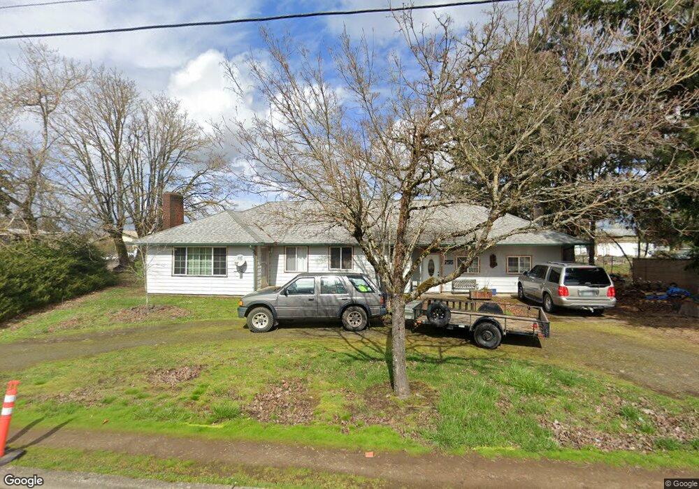
755 S Airport Rd Lebanon, OR 97355
Estimated Value: $366,673 - $386,000
3
Beds
1
Bath
1,952
Sq Ft
$193/Sq Ft
Est. Value
About This Home
This home is located at 755 S Airport Rd, Lebanon, OR 97355 and is currently estimated at $376,337, approximately $192 per square foot. 755 S Airport Rd is a home located in Linn County with nearby schools including Green Acres School, Seven Oak Middle School, and Lebanon High School.
Create a Home Valuation Report for This Property
The Home Valuation Report is an in-depth analysis detailing your home's value as well as a comparison with similar homes in the area
Home Values in the Area
Average Home Value in this Area
Tax History Compared to Growth
Tax History
| Year | Tax Paid | Tax Assessment Tax Assessment Total Assessment is a certain percentage of the fair market value that is determined by local assessors to be the total taxable value of land and additions on the property. | Land | Improvement |
|---|---|---|---|---|
| 2024 | $2,552 | $200,900 | -- | -- |
| 2023 | $2,479 | $195,050 | $0 | $0 |
| 2022 | $2,433 | $189,370 | $0 | $0 |
| 2021 | $2,335 | $183,860 | $0 | $0 |
| 2020 | $2,294 | $178,510 | $0 | $0 |
| 2019 | $2,237 | $173,320 | $0 | $0 |
| 2018 | $2,178 | $168,280 | $0 | $0 |
| 2017 | $2,136 | $163,380 | $0 | $0 |
| 2016 | $2,089 | $158,630 | $0 | $0 |
| 2015 | $2,020 | $154,010 | $0 | $0 |
| 2014 | $2,158 | $146,540 | $0 | $0 |
Source: Public Records
Map
Nearby Homes
- 711 S Airport Rd
- 1925 S 9th St
- 790 Airport (Next To) Rd
- 1960 S 9th St
- 1911 S 9th St
- 760 S Airport Rd
- 1910 S 9th St
- 800 S Airport Rd
- 696 S Airport Rd
- 1891 S 9th St
- 684 S Airport Rd
- 1908 S 7th St
- 1987 Stoltz Hill Rd
- 1999 Stoltz Hill Rd
- 665 W Airport Rd
- 662 S Airport Rd
- 1880 S 9th St
- 2015 Stoltz Hill Rd
- 1950 S 7th St
- 644 S Airport Rd