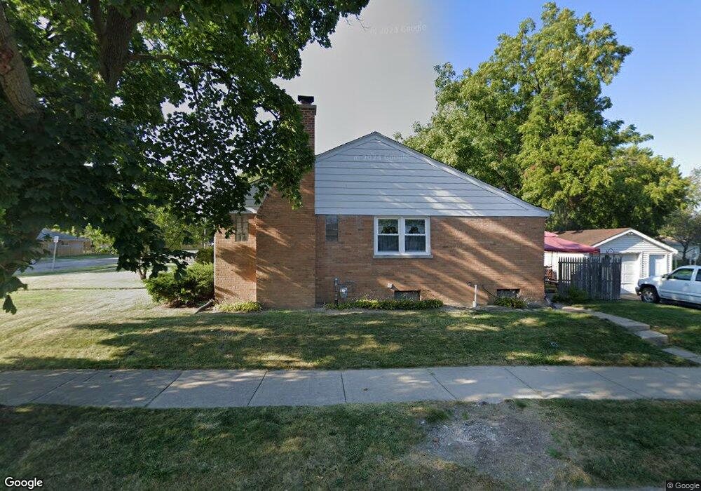
755 S Elmwood Ave Waukegan, IL 60085
Lyon Acres NeighborhoodEstimated Value: $238,000 - $263,000
3
Beds
1
Bath
1,224
Sq Ft
$202/Sq Ft
Est. Value
About This Home
This home is located at 755 S Elmwood Ave, Waukegan, IL 60085 and is currently estimated at $246,707, approximately $201 per square foot. 755 S Elmwood Ave is a home located in Lake County with nearby schools including Lyon Magnet Elementary School, John R Lewis Middle School, and Waukegan High School.
Ownership History
Date
Name
Owned For
Owner Type
Purchase Details
Closed on
Jul 7, 2003
Sold by
Snowden Cora L
Bought by
Mendoza Ruben
Current Estimated Value
Home Financials for this Owner
Home Financials are based on the most recent Mortgage that was taken out on this home.
Original Mortgage
$144,500
Outstanding Balance
$61,666
Interest Rate
5.31%
Mortgage Type
Purchase Money Mortgage
Estimated Equity
$185,041
Create a Home Valuation Report for This Property
The Home Valuation Report is an in-depth analysis detailing your home's value as well as a comparison with similar homes in the area
Home Values in the Area
Average Home Value in this Area
Purchase History
| Date | Buyer | Sale Price | Title Company |
|---|---|---|---|
| Mendoza Ruben | $149,000 | -- |
Source: Public Records
Mortgage History
| Date | Status | Borrower | Loan Amount |
|---|---|---|---|
| Open | Mendoza Ruben | $144,500 |
Source: Public Records
Tax History Compared to Growth
Tax History
| Year | Tax Paid | Tax Assessment Tax Assessment Total Assessment is a certain percentage of the fair market value that is determined by local assessors to be the total taxable value of land and additions on the property. | Land | Improvement |
|---|---|---|---|---|
| 2024 | $4,742 | $65,165 | $12,997 | $52,168 |
| 2023 | $4,906 | $58,292 | $11,627 | $46,665 |
| 2022 | $4,906 | $56,188 | $10,322 | $45,866 |
| 2021 | $4,344 | $47,671 | $8,879 | $38,792 |
| 2020 | $4,354 | $44,411 | $8,272 | $36,139 |
| 2019 | $4,329 | $40,696 | $7,580 | $33,116 |
| 2018 | $4,286 | $38,292 | $9,536 | $28,756 |
| 2017 | $3,966 | $33,878 | $8,437 | $25,441 |
| 2016 | $3,622 | $29,438 | $7,331 | $22,107 |
| 2015 | $3,437 | $26,347 | $6,561 | $19,786 |
| 2014 | $3,146 | $24,133 | $5,709 | $18,424 |
| 2012 | $4,119 | $26,146 | $6,185 | $19,961 |
Source: Public Records
Map
Nearby Homes
- 819 S Fulton Ave
- 1712 11th St
- 910 Cummings Ave
- 446 S Jackson St
- 12601 W Atlantic Ave
- 2116 & 2101 Williamsburg Dr
- 815 Prescott St
- 724 10th St
- 631 8th St
- 1511 14th St
- 1244 Victoria Ave
- 842 Wadsworth Ave
- 600 Sunderlin St
- 1210 Park Ave
- 1101 Adams St
- 1521 Catalpa Ave
- 1102 Wadsworth Ave
- 49 S Lewis Ave
- 831 S Mcalister Ave
- 408 Besley Place
- 745 S Elmwood Ave
- 741 S Elmwood Ave
- 803 S Elmwood Ave
- 1714 8th St
- 735 S Elmwood Ave
- 811 S Elmwood Ave
- 1712 8th St
- 1715 8th St
- 742 S Elmwood Ave
- 742 S Fulton Ave
- 731 S Elmwood Ave
- 1709 8th St
- 819 S Elmwood Ave
- 750 S Fulton Ave
- 1801 W Dugdale Rd
- 736 S Fulton Ave
- 802 S Fulton Ave
- 823 S Elmwood Ave
- 1809 W Dugdale Rd
- 814 S Fulton Ave