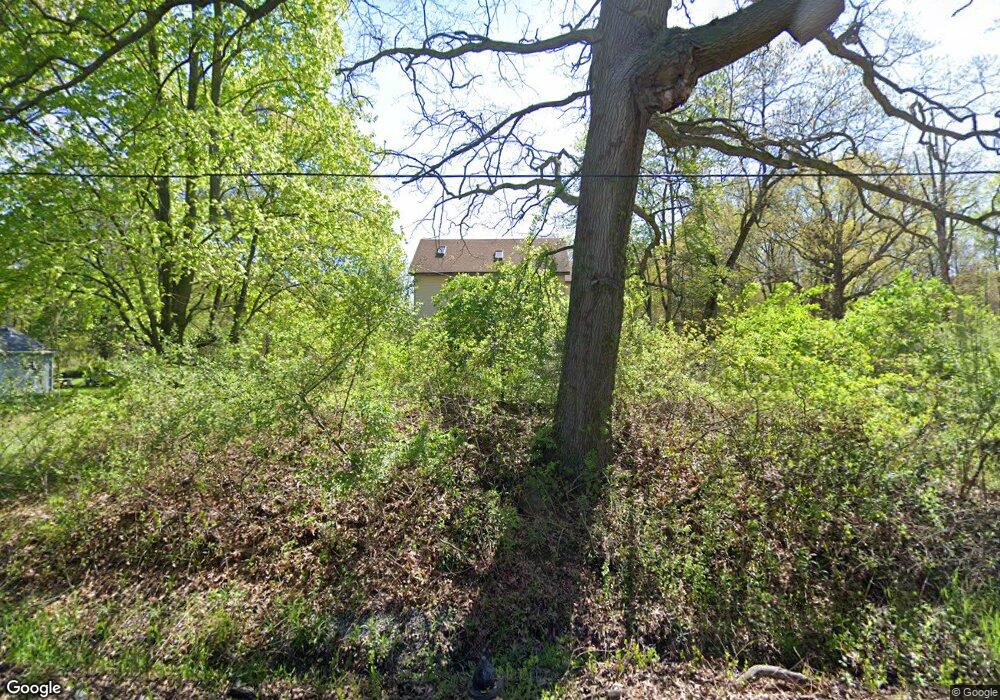
755 S Irwin Rd Swanton, OH 43558
West Lucas County NeighborhoodEstimated Value: $165,000 - $247,614
3
Beds
2
Baths
2,568
Sq Ft
$76/Sq Ft
Est. Value
About This Home
This home is located at 755 S Irwin Rd, Swanton, OH 43558 and is currently estimated at $195,538, approximately $76 per square foot. 755 S Irwin Rd is a home located in Lucas County with nearby schools including McTigue Elementary School and Rogers High School.
Ownership History
Date
Name
Owned For
Owner Type
Purchase Details
Closed on
Jul 3, 2021
Sold by
Flemmings Dejuan
Bought by
Floyd Tyrone
Current Estimated Value
Purchase Details
Closed on
Feb 15, 2019
Sold by
Floyd Tyrone
Bought by
Flemmings Dejuan
Purchase Details
Closed on
Jun 22, 2009
Sold by
Homesales Inc
Bought by
Floyd Tyrone
Purchase Details
Closed on
Apr 16, 2009
Sold by
Floyd Tyrone
Bought by
Chase Home Finance Llc
Purchase Details
Closed on
Feb 26, 2001
Sold by
Miller Keith R and Miller Havilland P
Bought by
Floyd Tyrone
Create a Home Valuation Report for This Property
The Home Valuation Report is an in-depth analysis detailing your home's value as well as a comparison with similar homes in the area
Home Values in the Area
Average Home Value in this Area
Purchase History
| Date | Buyer | Sale Price | Title Company |
|---|---|---|---|
| Floyd Tyrone | -- | None Available | |
| Flemmings Dejuan | $500 | None Available | |
| Floyd Tyrone | $50,000 | The Resource Title Agency In | |
| Homesales Inc | $56,000 | The Resource Title Agency In | |
| Chase Home Finance Llc | $56,000 | None Available | |
| Floyd Tyrone | $5,000 | -- |
Source: Public Records
Tax History Compared to Growth
Tax History
| Year | Tax Paid | Tax Assessment Tax Assessment Total Assessment is a certain percentage of the fair market value that is determined by local assessors to be the total taxable value of land and additions on the property. | Land | Improvement |
|---|---|---|---|---|
| 2024 | $7,739 | $60,410 | $22,890 | $37,520 |
| 2023 | $2,096 | $33,530 | $14,770 | $18,760 |
| 2022 | $2,093 | $33,530 | $14,770 | $18,760 |
| 2021 | $2,096 | $33,530 | $14,770 | $18,760 |
| 2020 | $1,945 | $27,755 | $12,215 | $15,540 |
| 2019 | $1,903 | $27,755 | $12,215 | $15,540 |
| 2018 | $1,825 | $27,755 | $12,215 | $15,540 |
| 2017 | $9,382 | $24,185 | $7,805 | $16,380 |
| 2016 | $11,746 | $69,100 | $22,300 | $46,800 |
| 2015 | $1,748 | $69,100 | $22,300 | $46,800 |
| 2014 | $2,322 | $24,190 | $7,810 | $16,380 |
| 2013 | $1,548 | $24,190 | $7,810 | $16,380 |
Source: Public Records
Map
Nearby Homes
- 1402 S Crissey Rd
- 9151 Rolling Hill Rd
- 8945 Oak Valley Rd
- 8733 Saint George Dr
- 630 N Schwamberger Rd
- 8617 Ponte Vedra Ct
- 8670 Augusta Ln
- 612 S Centennial Rd
- 8553 Stone Oak Dr
- 1021 N Crissey Rd
- 540 S Centennial Rd
- 816 N Crissey Rd
- 8435 Willow Glen Ct
- 215 Stone Oak Ct
- 44 Treetop Place
- 8535 Airport Hwy
- 8760 Nebraska Ave
- 8451 Airport Hwy
- 7 Tremore Way
- 8046 Lea Ct
