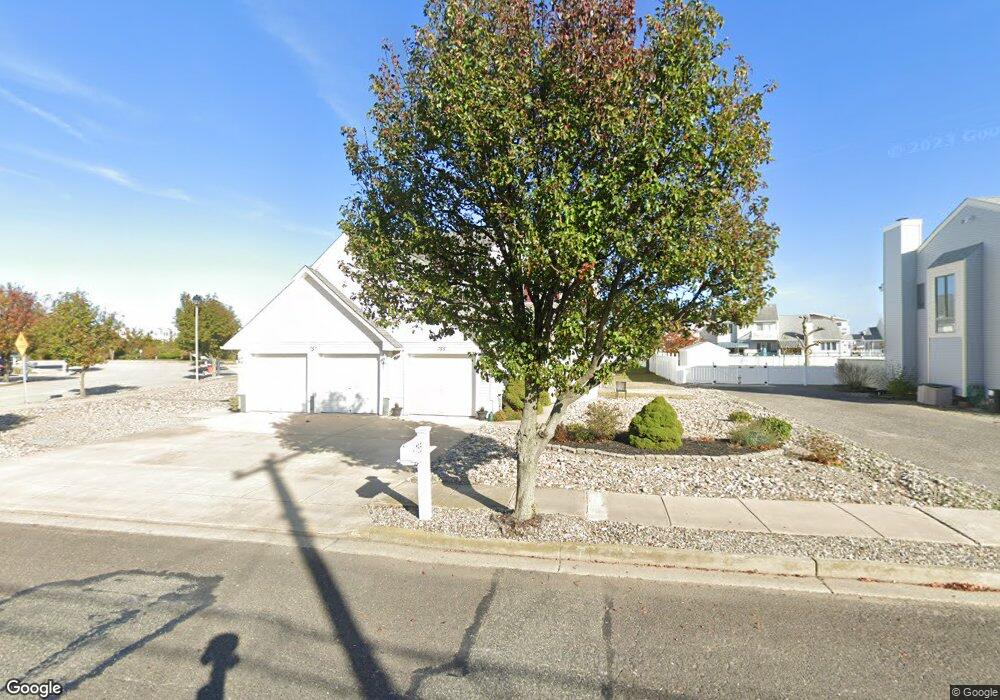
755 W Oak Ave Wildwood, NJ 08260
The Wildwoods NeighborhoodEstimated Value: $697,945 - $981,000
--
Bed
--
Bath
1,936
Sq Ft
$451/Sq Ft
Est. Value
About This Home
This home is located at 755 W Oak Ave, Wildwood, NJ 08260 and is currently estimated at $872,236, approximately $450 per square foot. 755 W Oak Ave is a home located in Cape May County with nearby schools including Margaret Mace Elementary School, Wildwood Catholic Academy, and Cape Christian Academy.
Ownership History
Date
Name
Owned For
Owner Type
Purchase Details
Closed on
Feb 2, 2001
Sold by
Cad Development Inc
Bought by
Mcentee Gregory M and Mcentee Maureen L
Current Estimated Value
Home Financials for this Owner
Home Financials are based on the most recent Mortgage that was taken out on this home.
Original Mortgage
$130,000
Outstanding Balance
$47,133
Interest Rate
7.13%
Estimated Equity
$825,103
Create a Home Valuation Report for This Property
The Home Valuation Report is an in-depth analysis detailing your home's value as well as a comparison with similar homes in the area
Home Values in the Area
Average Home Value in this Area
Purchase History
| Date | Buyer | Sale Price | Title Company |
|---|---|---|---|
| Mcentee Gregory M | $162,900 | -- |
Source: Public Records
Mortgage History
| Date | Status | Borrower | Loan Amount |
|---|---|---|---|
| Open | Mcentee Gregory M | $130,000 |
Source: Public Records
Tax History Compared to Growth
Tax History
| Year | Tax Paid | Tax Assessment Tax Assessment Total Assessment is a certain percentage of the fair market value that is determined by local assessors to be the total taxable value of land and additions on the property. | Land | Improvement |
|---|---|---|---|---|
| 2025 | $6,833 | $440,300 | $237,100 | $203,200 |
| 2024 | $6,833 | $440,300 | $237,100 | $203,200 |
| 2023 | $6,688 | $440,300 | $237,100 | $203,200 |
| 2022 | $6,420 | $440,300 | $237,100 | $203,200 |
| 2021 | $6,169 | $440,300 | $237,100 | $203,200 |
| 2020 | $5,948 | $440,300 | $237,100 | $203,200 |
| 2019 | $5,750 | $440,300 | $237,100 | $203,200 |
| 2018 | $5,587 | $440,300 | $237,100 | $203,200 |
| 2017 | $5,469 | $440,300 | $237,100 | $203,200 |
| 2016 | $5,363 | $440,300 | $237,100 | $203,200 |
| 2015 | $5,470 | $484,900 | $275,300 | $209,600 |
| 2014 | $5,339 | $484,900 | $275,300 | $209,600 |
Source: Public Records
Map
Nearby Homes
- 406 Illinois Ave Unit 406
- 800 W Spruce Ave
- 723 W Spruce Ave
- 725 Allen Dr Unit 134B
- 725 Allen Dr Unit 212A
- 725 Allen Dr Unit C318
- 725 Allen Dr Unit 127A
- 725 Allen Dr Unit 255B
- 725 Allen Dr Unit 318C
- 400 E Marina Ct Unit 104
- 4102 Seaboard Cir Unit B1
- 105 Seaview Ct Unit A
- 645 W Spruce Ave Unit left
- 643-649 W Spruce Ave Unit Right
- 116 Seaview Ct Unit A11
- 1 Michigan Ave
- 510 W Anglesea Dr Unit 15
- 617 W Spruce Ave
- 616 W Spruce Ave
- 615 W Spruce Ave
- 757 W Oak Ave
- 751 W Oak Ave
- 2 Saint Vincents Ct
- 786 Allen Dr
- 749 W Oak Ave
- 749 W Pine Ave
- 749 W Pine Ave
- 3 Saint Vincents Ct
- 6 Saint Vincents Ct
- 747 W Oak Ave
- 745 W Pine Ave
- 745 W Pine Ave
- 214A Allen Dr Unit 214 A
- 222A Allen Dr Unit A
- 222A Allen Dr Unit A222
- 222A Allen Dr Unit 222A
- 228B Allen Dr Unit B
- 232B Allen Dr Unit 232B
- 8 Saint Vincents Ct
- 202A Allen Dr Unit 202 A