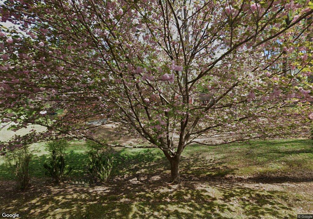
7550 Brookfield Forest Ct Lewisville, NC 27023
Estimated Value: $501,000 - $705,334
8
Beds
8
Baths
6,212
Sq Ft
$91/Sq Ft
Est. Value
About This Home
This home is located at 7550 Brookfield Forest Ct, Lewisville, NC 27023 and is currently estimated at $565,084, approximately $90 per square foot. 7550 Brookfield Forest Ct is a home located in Forsyth County with nearby schools including Southwest Elementary, Meadowlark Middle School, and West Forsyth High.
Ownership History
Date
Name
Owned For
Owner Type
Purchase Details
Closed on
Mar 26, 2002
Sold by
Sexton Alice W and Sexton Myron W
Bought by
Hopkins Stephen A and Hopkins Donna M
Current Estimated Value
Home Financials for this Owner
Home Financials are based on the most recent Mortgage that was taken out on this home.
Original Mortgage
$110,000
Interest Rate
6.85%
Create a Home Valuation Report for This Property
The Home Valuation Report is an in-depth analysis detailing your home's value as well as a comparison with similar homes in the area
Home Values in the Area
Average Home Value in this Area
Purchase History
| Date | Buyer | Sale Price | Title Company |
|---|---|---|---|
| Hopkins Stephen A | $225,000 | -- |
Source: Public Records
Mortgage History
| Date | Status | Borrower | Loan Amount |
|---|---|---|---|
| Closed | Hopkins Stephen A | $110,000 |
Source: Public Records
Tax History Compared to Growth
Tax History
| Year | Tax Paid | Tax Assessment Tax Assessment Total Assessment is a certain percentage of the fair market value that is determined by local assessors to be the total taxable value of land and additions on the property. | Land | Improvement |
|---|---|---|---|---|
| 2025 | $3,441 | $517,000 | $148,200 | $368,800 |
| 2024 | $3,284 | $348,000 | $137,300 | $210,700 |
| 2023 | $3,284 | $348,000 | $137,300 | $210,700 |
| 2022 | $3,284 | $348,000 | $137,300 | $210,700 |
| 2021 | $3,267 | $348,000 | $137,300 | $210,700 |
| 2020 | $3,105 | $308,100 | $106,700 | $201,400 |
| 2019 | $3,136 | $308,100 | $106,700 | $201,400 |
| 2018 | $3,032 | $308,100 | $106,700 | $201,400 |
| 2016 | $2,899 | $293,432 | $105,947 | $187,485 |
| 2015 | $2,899 | $293,432 | $105,947 | $187,485 |
| 2014 | $2,851 | $293,432 | $105,947 | $187,485 |
Source: Public Records
Map
Nearby Homes
- 264 Lewisville Clemmons Rd Unit 2
- 7925 Lasley Forest Rd
- 825 Reynolds Rd
- 6724 Shallowford Rd
- 1084 Sequoia Dr
- 7155 Reynolds Mill Cir
- 8719 Atlas Heights Way
- 7560 Whisper Hollow Ln
- 7143 Reynolds Mill Cir
- 196 Belnette Dr
- 7137 Reynolds Mill Cir
- 7633 Whisper Hollow Ln
- 7602 Whisper Hollow Ln
- 1125 Kensford Dr
- 784 Grinnell St
- 7107 Reynolds Mill Cir
- 6065 Hedgerow Cir
- 1060 Kensford Dr
- 300 Doub Rd
- 1045 Kensford Dr
- Lot 35 N Brookfield Dr
- 7560 Brookfield Forest Ct
- 7570 Brookfield Dr
- 7544 Brookfield Dr
- 7558 Divaldi St
- 700 Lumley St
- 0 Brookfield Rd
- 7554 Divaldi St
- 1020 Glensheen Trail
- 7542 Brookfield Dr
- 7550 Divaldi St
- 7557 Divaldi St
- 7540 Brookfield Dr
- 7542 Divaldi St
- 785 Lumley St
- 7530 Brookfield Dr
- 7549 Divaldi St
- 7590 Brookfield Dr
- 1030 Glensheen Trail
- 7538 Divaldi St
