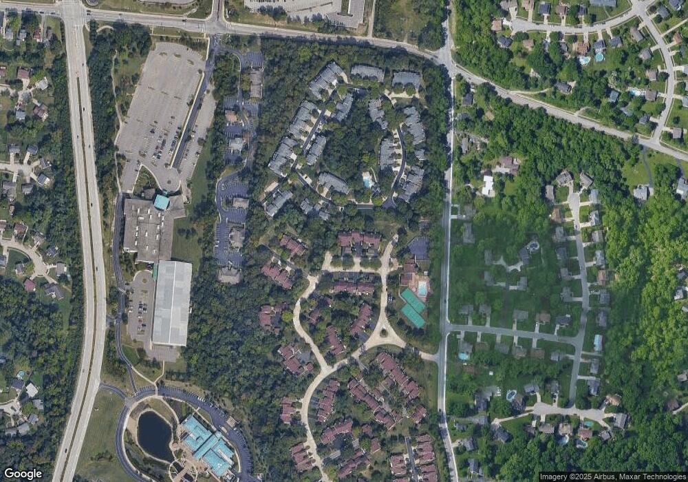
7550 Pawtucket Dr Unit 1 Cincinnati, OH 45255
Estimated Value: $286,000 - $380,000
3
Beds
3
Baths
2,744
Sq Ft
$119/Sq Ft
Est. Value
About This Home
This home is located at 7550 Pawtucket Dr Unit 1, Cincinnati, OH 45255 and is currently estimated at $327,884, approximately $119 per square foot. 7550 Pawtucket Dr Unit 1 is a home located in Hamilton County with nearby schools including Sherwood Elementary School, Nagel Middle School, and Turpin High School.
Ownership History
Date
Name
Owned For
Owner Type
Purchase Details
Closed on
Mar 25, 2002
Sold by
Phillips Genevieve H
Bought by
Snouffer Guy I
Current Estimated Value
Home Financials for this Owner
Home Financials are based on the most recent Mortgage that was taken out on this home.
Original Mortgage
$134,400
Outstanding Balance
$53,926
Interest Rate
6.5%
Estimated Equity
$273,958
Purchase Details
Closed on
Jan 12, 1996
Sold by
Janus Ronald T and Janus Patricia A
Bought by
Sparks Raymond
Home Financials for this Owner
Home Financials are based on the most recent Mortgage that was taken out on this home.
Original Mortgage
$42,720
Interest Rate
7.36%
Mortgage Type
Purchase Money Mortgage
Create a Home Valuation Report for This Property
The Home Valuation Report is an in-depth analysis detailing your home's value as well as a comparison with similar homes in the area
Home Values in the Area
Average Home Value in this Area
Purchase History
| Date | Buyer | Sale Price | Title Company |
|---|---|---|---|
| Snouffer Guy I | $168,000 | -- | |
| Sparks Raymond | -- | -- |
Source: Public Records
Mortgage History
| Date | Status | Borrower | Loan Amount |
|---|---|---|---|
| Open | Snouffer Guy I | $134,400 | |
| Previous Owner | Sparks Raymond | $42,720 | |
| Closed | Sparks Raymond | $5,400 |
Source: Public Records
Tax History Compared to Growth
Tax History
| Year | Tax Paid | Tax Assessment Tax Assessment Total Assessment is a certain percentage of the fair market value that is determined by local assessors to be the total taxable value of land and additions on the property. | Land | Improvement |
|---|---|---|---|---|
| 2024 | $4,972 | $81,886 | $11,550 | $70,336 |
| 2023 | $4,729 | $81,886 | $11,550 | $70,336 |
| 2022 | $3,917 | $60,386 | $9,041 | $51,345 |
| 2021 | $3,824 | $60,386 | $9,041 | $51,345 |
| 2020 | $3,868 | $60,386 | $9,041 | $51,345 |
| 2019 | $3,464 | $49,095 | $7,350 | $41,745 |
| 2018 | $3,244 | $49,095 | $7,350 | $41,745 |
| 2017 | $3,060 | $49,095 | $7,350 | $41,745 |
| 2016 | $2,864 | $44,888 | $7,403 | $37,485 |
| 2015 | $2,782 | $44,888 | $7,403 | $37,485 |
| 2014 | $2,783 | $44,888 | $7,403 | $37,485 |
| 2013 | $2,924 | $49,875 | $8,225 | $41,650 |
Source: Public Records
Map
Nearby Homes
- 1629 Cohasset Dr
- 7633 Brannon Dr
- 1791 Rusticwood Ln
- 1786 Woodpine Ln
- 1419 Wolfangel Rd
- 1731 Rudyard Ln
- 1353 Crotty Ct
- 7827 State Rd
- 7114 Paddison Rd
- 7197 Woodridge Dr
- 2105 Clough Chase Dr
- 2121 Clough Chase Dr
- 7053 Paddison Rd
- 1903 Robinway Dr
- 1363 Oak Ct
- 1886 Kingsway Ct
- 1357 Oak Ct
- 7249 State Rd
- 8022 Stonegate Dr
- 1395 Tallberry Dr
- 7554 Pawtucket Dr
- 7556 Pawtucket Dr Unit 4
- 7571 Greenarbor Dr Unit 9A
- 7571 Greenarbor Dr
- 7559 Pawtucket Dr
- 1639 Braintree Dr
- 7563 Greenarbor Dr
- 1637 Braintree Dr
- 7568 Greenarbor Dr
- 7555 Pawtucket Dr
- 3371 Green Rd
- 1633 Braintree Dr
- 1635 Braintree Dr
- 7564 Greenarbor Dr Unit 14C
- 7560 Greenarbor Dr Unit 14A
- 1600 Braintree Dr Unit 20
- 1612 Braintree Dr Unit 15
- 7560 Pawtucket Dr Unit 6
- 1614 Braintree Dr Unit 14
- 1616 Braintree Dr Unit 13
