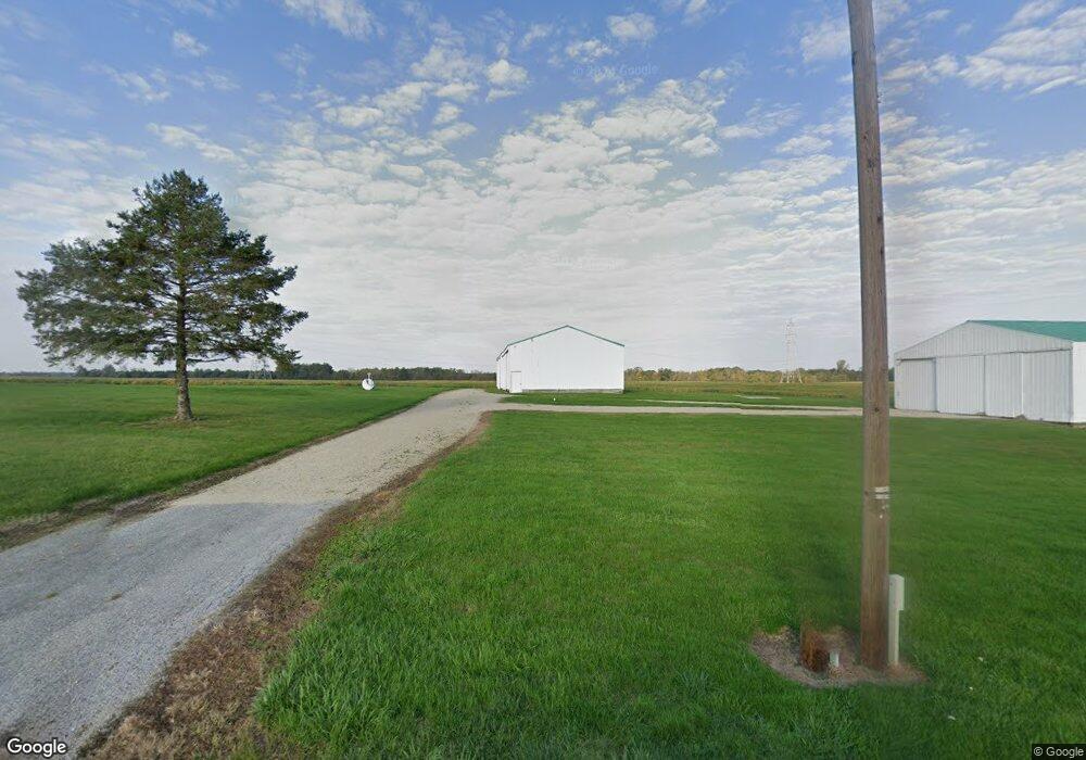
7552 N 400 E Montpelier, IN 47359
Estimated Value: $260,000
--
Bed
2
Baths
--
Sq Ft
123.6
Acres
About This Home
This home is located at 7552 N 400 E, Montpelier, IN 47359 and is currently estimated at $260,000. 7552 N 400 E is a home located in Blackford County with nearby schools including Hoosier Prairie Elementary School, Francis Vigo Elementary School, and Montpelier School.
Ownership History
Date
Name
Owned For
Owner Type
Purchase Details
Closed on
Jul 11, 2016
Sold by
Thompson Taylor James and Thompson Tanner Glen
Bought by
Kinser Michael R and Kinser Penny M
Current Estimated Value
Home Financials for this Owner
Home Financials are based on the most recent Mortgage that was taken out on this home.
Original Mortgage
$840,000
Outstanding Balance
$615,020
Interest Rate
3.66%
Mortgage Type
Future Advance Clause Open End Mortgage
Estimated Equity
-$355,020
Purchase Details
Closed on
Oct 22, 2015
Sold by
Trosper Walter Gen and Trosper Jack J
Bought by
Trosper Walter Gen and Thompson James
Create a Home Valuation Report for This Property
The Home Valuation Report is an in-depth analysis detailing your home's value as well as a comparison with similar homes in the area
Home Values in the Area
Average Home Value in this Area
Purchase History
| Date | Buyer | Sale Price | Title Company |
|---|---|---|---|
| Kinser Michael R | -- | None Available | |
| Trosper Walter Gen | -- | None Available |
Source: Public Records
Mortgage History
| Date | Status | Borrower | Loan Amount |
|---|---|---|---|
| Open | Kinser Michael R | $840,000 |
Source: Public Records
Tax History Compared to Growth
Tax History
| Year | Tax Paid | Tax Assessment Tax Assessment Total Assessment is a certain percentage of the fair market value that is determined by local assessors to be the total taxable value of land and additions on the property. | Land | Improvement |
|---|---|---|---|---|
| 2024 | $3,754 | $168,300 | $168,300 | $0 |
| 2023 | $2,854 | $142,700 | $142,700 | $0 |
| 2022 | $2,254 | $112,700 | $112,700 | $0 |
| 2021 | $1,938 | $96,900 | $96,900 | $0 |
| 2020 | $1,924 | $96,200 | $96,200 | $0 |
| 2019 | $2,342 | $117,100 | $117,100 | $0 |
| 2018 | $2,420 | $121,000 | $121,000 | $0 |
| 2017 | $2,780 | $139,000 | $139,000 | $0 |
| 2016 | $6,491 | $324,300 | $215,200 | $109,100 |
| 2014 | $5,160 | $315,500 | $224,700 | $90,800 |
| 2013 | $5,160 | $284,900 | $194,300 | $90,600 |
Source: Public Records
Map
Nearby Homes
- 512 W Plate Glass St
- 532 W Green St
- 435 W High St
- 404 W Huntington St
- 126 W Windsor St
- 109 E Water St
- Corner of 400 N & 700 Rd E
- 222 N Adams St
- 103 S Washington St
- 6281 N 300 E
- 7656 N 200 E
- 10088 S Ohio St
- 9830 S 200 W
- 9814 S Cr 200 W
- 0 N 700 E Unit 202520586
- 6970 N 100 W
- 1010 W State Road 18
- 0 County Road 300 N
- 2141 N 100 E
- 8737 S 100 E
- 7574 N 400 E
- 0 1200 S Unit 201012829
- 4225 W 1200 S-90 Unit 90
- 618 W Henderson St
- 612 W Henderson St
- 626 W Windsor St
- 614 W Henderson St Unit 1
- 614 W Henderson St
- 610 W Henderson St
- 608 W Henderson St
- 620 W Windsor St
- 410 Warren Ave
- 11881 SE Jeff Rd
- 409 Warren Ave
- 302 N Standard Oil Blvd
- 522 W Plate Glass St
- 602 W Windsor St
- 205 N Standard Oil Blvd
- 306 N Standard Oil Blvd
- 3779 E State Road 18