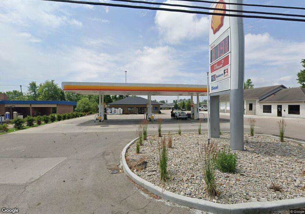
7555 Fields Ertel Rd Cincinnati, OH 45241
Highpoint NeighborhoodEstimated Value: $1,972,730
2
Beds
1
Bath
77,601
Sq Ft
$25/Sq Ft
Est. Value
About This Home
This home is located at 7555 Fields Ertel Rd, Cincinnati, OH 45241 and is currently estimated at $1,972,730, approximately $25 per square foot. 7555 Fields Ertel Rd is a home located in Hamilton County with nearby schools including Stewart Elementary School, Princeton Community Middle School, and Princeton High School.
Ownership History
Date
Name
Owned For
Owner Type
Purchase Details
Closed on
Dec 3, 1998
Sold by
Mathews William S
Bought by
M B S Development Company Ltd
Current Estimated Value
Purchase Details
Closed on
Nov 22, 1996
Sold by
M B S Development Company Inc
Bought by
A J Mac Inc
Purchase Details
Closed on
Aug 13, 1996
Sold by
M B S Development Company
Bought by
M B S Development Company Ltd
Home Financials for this Owner
Home Financials are based on the most recent Mortgage that was taken out on this home.
Original Mortgage
$1,820,000
Interest Rate
8.47%
Mortgage Type
Commercial
Purchase Details
Closed on
Sep 30, 1993
Sold by
Couch Troy Glen and Couch Sandra Ellen
Bought by
Mbs Development Company
Create a Home Valuation Report for This Property
The Home Valuation Report is an in-depth analysis detailing your home's value as well as a comparison with similar homes in the area
Home Values in the Area
Average Home Value in this Area
Purchase History
| Date | Buyer | Sale Price | Title Company |
|---|---|---|---|
| M B S Development Company Ltd | -- | -- | |
| M B S Development Company Ltd | -- | -- | |
| Mathews Ii William S | -- | -- | |
| A J Mac Inc | -- | -- | |
| M B S Development Company Ltd | -- | -- | |
| Mbs Development Company | -- | -- |
Source: Public Records
Mortgage History
| Date | Status | Borrower | Loan Amount |
|---|---|---|---|
| Previous Owner | M B S Development Company Ltd | $1,820,000 |
Source: Public Records
Tax History
| Year | Tax Paid | Tax Assessment Tax Assessment Total Assessment is a certain percentage of the fair market value that is determined by local assessors to be the total taxable value of land and additions on the property. | Land | Improvement |
|---|---|---|---|---|
| 2025 | $90,652 | $1,102,263 | $471,846 | $630,417 |
| 2024 | $84,269 | $1,102,263 | $471,846 | $630,417 |
| 2023 | $83,683 | $1,102,263 | $471,846 | $630,417 |
| 2022 | $83,649 | $1,001,687 | $444,336 | $557,351 |
| 2021 | $83,166 | $1,001,687 | $444,336 | $557,351 |
| 2020 | $81,781 | $1,001,687 | $444,336 | $557,351 |
| 2019 | $77,375 | $886,449 | $393,218 | $493,231 |
| 2018 | $74,023 | $886,449 | $393,218 | $493,231 |
| 2017 | $71,642 | $886,449 | $393,218 | $493,231 |
| 2016 | $76,076 | $936,040 | $367,122 | $568,918 |
| 2015 | $76,169 | $936,040 | $367,122 | $568,918 |
| 2014 | $85,393 | $1,054,067 | $367,122 | $686,945 |
| 2013 | $74,313 | $941,606 | $390,555 | $551,051 |
Source: Public Records
Map
Nearby Homes
- 12152 3rd Ave
- 7812 Cincinnati Ave
- 9720 Cedar Knoll Dr
- 12152 7th Ave
- 11928 2nd Ave
- 9548 Butler Warren Rd
- 9917 Shorewood Ln
- 9665 New Castle Ct
- 9891 McCauly Woods Dr
- 6526 Hawk Ct
- 8175 Sunburst Dr
- 7815 Bennington Dr
- 11753 Thayer Ln
- 9509 Butler Warren Rd
- 11756 Thayer Ln
- 5930 Carpol St
- 9511 Butler Warren Rd
- 8830 Butler Warren Rd
- 8820 Butler Warren Rd
- 12102 Paulmeadows Dr
- 7419 Fields Ertel Rd
- 7381 Fields Ertel Rd
- 7371 Fields Ertel Rd
- 0 Butler Warren Rd Unit 1197294
- 0 Butler Warren Rd Unit 1797219
- 12179 1st Ave
- 12185 1st Ave
- 12173 1st Ave
- 0 Cambridge Dr
- 7361 Fields Ertel Rd
- 12167 1st Ave
- 12161 1st Ave
- 12193 1st Ave
- 12163 1st Ave
- 12157 1st Ave
- 12155 1st Ave
- 12147 1st Ave
- 12145 1st Ave
- 7351 Fields Ertel Rd
- 12131 1st Ave
Your Personal Tour Guide
Ask me questions while you tour the home.