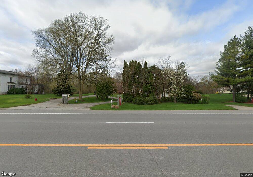
7555 Midland Rd Freeland, MI 48623
Freeland NeighborhoodEstimated Value: $234,987 - $275,000
3
Beds
2
Baths
1,766
Sq Ft
$146/Sq Ft
Est. Value
About This Home
This home is located at 7555 Midland Rd, Freeland, MI 48623 and is currently estimated at $257,747, approximately $145 per square foot. 7555 Midland Rd is a home located in Saginaw County with nearby schools including Freeland Learning Center, Freeland Elementary School, and Freeland Middle/High School.
Ownership History
Date
Name
Owned For
Owner Type
Purchase Details
Closed on
Jun 9, 2011
Sold by
Kasper Kenneth A and Kasper Bobbie L
Bought by
Kowalewski Eric M and Kowalewski Victoria M
Current Estimated Value
Home Financials for this Owner
Home Financials are based on the most recent Mortgage that was taken out on this home.
Original Mortgage
$118,000
Outstanding Balance
$81,803
Interest Rate
4.75%
Mortgage Type
Purchase Money Mortgage
Estimated Equity
$175,944
Purchase Details
Closed on
Dec 4, 1991
Create a Home Valuation Report for This Property
The Home Valuation Report is an in-depth analysis detailing your home's value as well as a comparison with similar homes in the area
Home Values in the Area
Average Home Value in this Area
Purchase History
| Date | Buyer | Sale Price | Title Company |
|---|---|---|---|
| Kowalewski Eric M | $147,500 | -- | |
| -- | $70,000 | -- |
Source: Public Records
Mortgage History
| Date | Status | Borrower | Loan Amount |
|---|---|---|---|
| Open | Kowalewski Eric M | $118,000 |
Source: Public Records
Tax History Compared to Growth
Tax History
| Year | Tax Paid | Tax Assessment Tax Assessment Total Assessment is a certain percentage of the fair market value that is determined by local assessors to be the total taxable value of land and additions on the property. | Land | Improvement |
|---|---|---|---|---|
| 2025 | $3,002 | $103,500 | $0 | $0 |
| 2024 | $835 | $94,400 | $0 | $0 |
| 2023 | $795 | $90,900 | $0 | $0 |
| 2022 | $2,477 | $75,100 | $0 | $0 |
| 2021 | $2,271 | $69,300 | $0 | $0 |
| 2020 | $2,199 | $66,000 | $0 | $0 |
| 2019 | $2,144 | $65,200 | $0 | $0 |
| 2018 | $749 | $68,900 | $0 | $0 |
| 2017 | $2,052 | $71,300 | $0 | $0 |
| 2016 | $2,036 | $68,900 | $0 | $0 |
| 2014 | -- | $65,400 | $0 | $51,000 |
| 2013 | -- | $64,700 | $0 | $0 |
Source: Public Records
Map
Nearby Homes
- 315 S 2nd St
- 590 Church St
- 147 S 7th St
- 1040 Wheelock St
- 7049 Midland Rd
- 385 E Washington Rd
- 160 N 4th St
- 205 N 4th St
- 1141 N Dawn Dr
- 335 Third St
- 11182 Thornberry Dr
- 11216 Thornberry Dr
- 9100 Brook Hollow Ln
- 8231 Midland Rd
- 7724 Hillbridge Dr
- 10190 Dove Dr
- 11377 Hillbridge Ct
- 8326 Waxwing Dr
- 7266 Mielke Rd
- 8 Willow Point Dr
- 7525 Midland Rd
- 7575 Midland Rd
- 7500 Midland Rd
- 7595 Midland Rd
- 7453 Midland Rd
- 0 Midland Rd Unit 161034
- 0 Midland Rd Unit 162455
- 0 Midland Rd Unit 4432877
- 0 Midland Unit 4427896
- 0 Midland Rd Unit 4488846
- 0 Midland Rd Unit 4635477
- 0 Midland Unit 4648267
- 0 Midland Rd Unit 5437202
- 0 Midland Rd Unit 5527560
- 0 Midland Unit 5497234
- 0 Midland Rd Unit 20039867
- 0 Midland Rd Unit G31199920
- 0 Midland Rd Unit G31286867
- 0 Midland Rd Unit G31303178
- 0 Midland Rd Unit G31340993