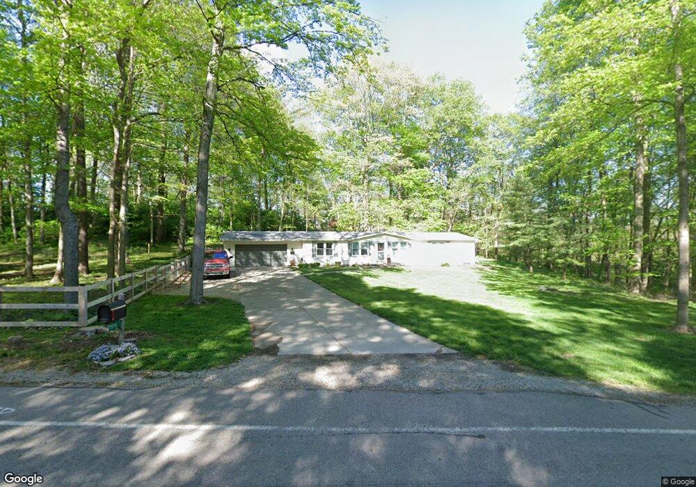
7555 Widener Rd New Carlisle, OH 45344
Estimated Value: $151,000 - $623,000
3
Beds
2
Baths
1,560
Sq Ft
$237/Sq Ft
Est. Value
About This Home
This home is located at 7555 Widener Rd, New Carlisle, OH 45344 and is currently estimated at $370,473, approximately $237 per square foot. 7555 Widener Rd is a home located in Miami County with nearby schools including Miami East Elementary School, Miami East Junior High School, and Miami East High School.
Ownership History
Date
Name
Owned For
Owner Type
Purchase Details
Closed on
May 10, 2019
Sold by
Stull Dale A
Bought by
Knox Daniel C
Current Estimated Value
Home Financials for this Owner
Home Financials are based on the most recent Mortgage that was taken out on this home.
Original Mortgage
$42,000
Outstanding Balance
$36,776
Interest Rate
4%
Mortgage Type
New Conventional
Estimated Equity
$333,697
Purchase Details
Closed on
Mar 8, 2006
Sold by
Stull Lillian M
Bought by
Stull Dale A
Home Financials for this Owner
Home Financials are based on the most recent Mortgage that was taken out on this home.
Original Mortgage
$60,000
Interest Rate
6.22%
Mortgage Type
Seller Take Back
Purchase Details
Closed on
Jun 30, 2005
Sold by
Stull John D
Bought by
Stull Lillian M
Create a Home Valuation Report for This Property
The Home Valuation Report is an in-depth analysis detailing your home's value as well as a comparison with similar homes in the area
Home Values in the Area
Average Home Value in this Area
Purchase History
| Date | Buyer | Sale Price | Title Company |
|---|---|---|---|
| Knox Daniel C | $60,000 | None Available | |
| Stull Dale A | $60,000 | -- | |
| Stull Lillian M | -- | -- |
Source: Public Records
Mortgage History
| Date | Status | Borrower | Loan Amount |
|---|---|---|---|
| Open | Knox Daniel C | $42,000 | |
| Previous Owner | Stull Lillian M | $60,000 |
Source: Public Records
Tax History Compared to Growth
Tax History
| Year | Tax Paid | Tax Assessment Tax Assessment Total Assessment is a certain percentage of the fair market value that is determined by local assessors to be the total taxable value of land and additions on the property. | Land | Improvement |
|---|---|---|---|---|
| 2024 | $1,867 | $58,660 | $19,250 | $39,410 |
| 2023 | $1,867 | $58,660 | $19,250 | $39,410 |
| 2022 | $1,921 | $58,660 | $19,250 | $39,410 |
| 2021 | $1,630 | $45,120 | $14,810 | $30,310 |
| 2020 | $1,570 | $45,120 | $14,810 | $30,310 |
| 2019 | $1,632 | $45,120 | $14,810 | $30,310 |
| 2018 | $1,483 | $39,660 | $13,370 | $26,290 |
| 2017 | $1,468 | $39,660 | $13,370 | $26,290 |
| 2016 | $1,376 | $39,660 | $13,370 | $26,290 |
| 2015 | $1,401 | $38,120 | $12,850 | $25,270 |
| 2014 | $1,401 | $38,120 | $12,850 | $25,270 |
| 2013 | $1,409 | $38,120 | $12,850 | $25,270 |
Source: Public Records
Map
Nearby Homes
- 7700 Staley Rd
- 2656 Addison New Carlisle Rd
- 7715 E New Carlisle Rd
- 5344 S Dayton Brandt Rd
- 907 White Pine St
- 1234 Wind Rock Dr
- 8030 E State Route 41
- 805 Brookfield Dr
- 315 Fenwick Dr
- 0 Ohio 201
- 7817 Ohio 201
- 11298 Stafford Rd
- 1212 N Scott St
- 1206 N Scott St
- 1205 N Scott St
- 1209 N Scott St
- 1210 N Scott St
- Spruce Plan at Monroe Meadows
- Norway Plan at Monroe Meadows
- 201 Monroe Way
- 7544 Widener Rd
- 7762 Widener Rd
- 7855 Widener Rd
- 7788 Widener Rd
- 8045 Widener Rd
- 7550 Tipp Elizabeth Rd
- 7733 Tipp Elizabeth Rd
- 7621 Tipp Elizabeth Rd
- 8185 Widener Rd
- 8082 Tipp Elizabeth Rd
- 7305 Tipp Elizabeth Rd
- 4020 S Dayton Brandt Rd
- 4108 S Dayton Brandt Rd
- 3265 Ohio 201
- 8015 Tipp Elizabeth Rd
- 3410 S State Route 201
- 8075 Tipp Elizabeth Rd
- 3265 S State Route 201
- 7245 Tipp Elizabeth Rd
- 3255 S State Route 201