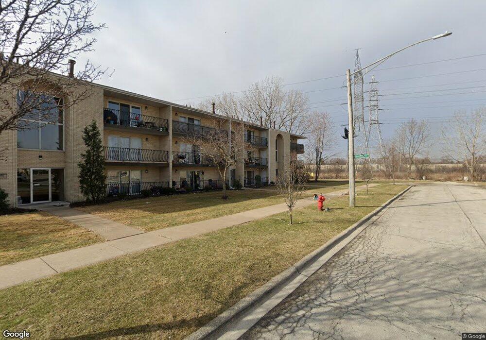
7557 W 92nd St Unit 302 Bridgeview, IL 60455
Little Palestine NeighborhoodEstimated Value: $189,093 - $252,000
--
Bed
--
Bath
21,140
Sq Ft
$11/Sq Ft
Est. Value
About This Home
This home is located at 7557 W 92nd St Unit 302, Bridgeview, IL 60455 and is currently estimated at $224,023, approximately $10 per square foot. 7557 W 92nd St Unit 302 is a home located in Cook County with nearby schools including Dorn Elementary School, Glen Oaks Elementary School, and H H Conrady Jr High School.
Ownership History
Date
Name
Owned For
Owner Type
Purchase Details
Closed on
Mar 12, 2001
Sold by
Filar Mark G and Filar Bozena K
Bought by
Bojko Jaroslaw R and Bojko Ludmila W
Current Estimated Value
Home Financials for this Owner
Home Financials are based on the most recent Mortgage that was taken out on this home.
Original Mortgage
$100,000
Outstanding Balance
$36,712
Interest Rate
7.13%
Estimated Equity
$187,311
Create a Home Valuation Report for This Property
The Home Valuation Report is an in-depth analysis detailing your home's value as well as a comparison with similar homes in the area
Home Values in the Area
Average Home Value in this Area
Purchase History
| Date | Buyer | Sale Price | Title Company |
|---|---|---|---|
| Bojko Jaroslaw R | $118,000 | -- |
Source: Public Records
Mortgage History
| Date | Status | Borrower | Loan Amount |
|---|---|---|---|
| Open | Bojko Jaroslaw R | $100,000 |
Source: Public Records
Tax History Compared to Growth
Tax History
| Year | Tax Paid | Tax Assessment Tax Assessment Total Assessment is a certain percentage of the fair market value that is determined by local assessors to be the total taxable value of land and additions on the property. | Land | Improvement |
|---|---|---|---|---|
| 2024 | $3,783 | $14,805 | $1,414 | $13,391 |
| 2023 | $2,964 | $14,805 | $1,414 | $13,391 |
| 2022 | $2,964 | $10,769 | $1,363 | $9,406 |
| 2021 | $2,932 | $10,768 | $1,363 | $9,405 |
| 2020 | $2,972 | $10,768 | $1,363 | $9,405 |
| 2019 | $2,239 | $9,045 | $1,262 | $7,783 |
| 2018 | $2,185 | $9,045 | $1,262 | $7,783 |
| 2017 | $2,106 | $9,045 | $1,262 | $7,783 |
| 2016 | $3,259 | $10,643 | $1,110 | $9,533 |
| 2015 | $3,055 | $10,643 | $1,110 | $9,533 |
| 2014 | $2,980 | $10,643 | $1,110 | $9,533 |
| 2013 | $2,845 | $10,995 | $1,110 | $9,885 |
Source: Public Records
Map
Nearby Homes
- 9149 Beloit Ave
- 9405 S 76th Ct
- 9003 Milford Ct
- 9305 S 78th Ave
- 9417 S 78th Ave
- 9435 S 78th Ave
- 8800 S Harlem Ave Unit 2311
- 8800 S Harlem Ave Unit 2111
- 8800 S Harlem Ave
- 8800 S Harlem Ave Unit 925
- 9316 Sayre Ave
- 7100 W 95th St Unit 312
- 9407 S Roberts Rd Unit 3SE
- 9128 Homestead Ln
- 9348 Sayre Ave
- 9645 S 78th Ct
- 9128 Pembroke Ln
- 9236 Pembroke Ln
- 6906 W 91st St
- 8622 S 78th Ave
- 7557 W 92nd St Unit 202
- 7557 W 92nd St Unit 303
- 7557 W 92nd St Unit G204
- 7557 W 92nd St Unit G305
- 7557 W 92nd St Unit 304
- 7557 W 92nd St Unit G304
- 7557 W 92nd St Unit G103
- 7557 W 92nd St Unit G205
- 7557 W 92nd St Unit G203
- 7557 W 92nd St Unit G202
- 7557 W 92nd St Unit G105
- 7557 W 92nd St Unit 305
- 7557 W 92nd St Unit 205
- 7557 W 92nd St Unit 105
- 7557 W 92nd St Unit 104
- 7557 W 92nd St Unit 102
- 7557 W 92nd St Unit 101
- 7557 W 92nd St Unit 301
- 7557 W 92nd St Unit G302
- 7557 W 92nd St Unit 103