7559 State Route 158 Columbia, IL 62236
Estimated Value: $268,000 - $514,000
--
Bed
--
Bath
1,659
Sq Ft
$240/Sq Ft
Est. Value
About This Home
This home is located at 7559 State Route 158, Columbia, IL 62236 and is currently estimated at $398,065, approximately $239 per square foot. 7559 State Route 158 is a home located in St. Clair County with nearby schools including Columbia Middle School and Columbia High School.
Ownership History
Date
Name
Owned For
Owner Type
Purchase Details
Closed on
Mar 8, 2021
Sold by
Nolden Kenneth M and Nolden Kathy S
Bought by
Nolden Kenneth M and Nolden Kathy S
Current Estimated Value
Purchase Details
Closed on
Dec 30, 2000
Sold by
Skaggs Timothy P and Skaggs Janice L
Bought by
Nolden Kenneth M and Nolden Kathy S
Home Financials for this Owner
Home Financials are based on the most recent Mortgage that was taken out on this home.
Original Mortgage
$37,500
Interest Rate
8.25%
Create a Home Valuation Report for This Property
The Home Valuation Report is an in-depth analysis detailing your home's value as well as a comparison with similar homes in the area
Home Values in the Area
Average Home Value in this Area
Purchase History
| Date | Buyer | Sale Price | Title Company |
|---|---|---|---|
| Nolden Kenneth M | -- | Attorney | |
| Nolden Kenneth M | $47,500 | Chicago Title |
Source: Public Records
Mortgage History
| Date | Status | Borrower | Loan Amount |
|---|---|---|---|
| Closed | Nolden Kenneth M | $37,500 |
Source: Public Records
Tax History Compared to Growth
Tax History
| Year | Tax Paid | Tax Assessment Tax Assessment Total Assessment is a certain percentage of the fair market value that is determined by local assessors to be the total taxable value of land and additions on the property. | Land | Improvement |
|---|---|---|---|---|
| 2024 | $6,041 | $104,211 | $15,194 | $89,017 |
| 2023 | $5,918 | $96,832 | $14,118 | $82,714 |
| 2022 | $5,696 | $90,829 | $13,243 | $77,586 |
| 2021 | $5,370 | $85,478 | $12,463 | $73,015 |
| 2020 | $5,202 | $74,116 | $11,410 | $62,706 |
| 2019 | $4,814 | $74,116 | $11,410 | $62,706 |
| 2018 | $4,630 | $70,714 | $10,886 | $59,828 |
| 2017 | $4,460 | $65,712 | $10,116 | $55,596 |
| 2016 | $4,140 | $58,802 | $9,779 | $49,023 |
| 2014 | $3,738 | $58,802 | $9,779 | $49,023 |
| 2013 | $5,394 | $60,168 | $10,006 | $50,162 |
Source: Public Records
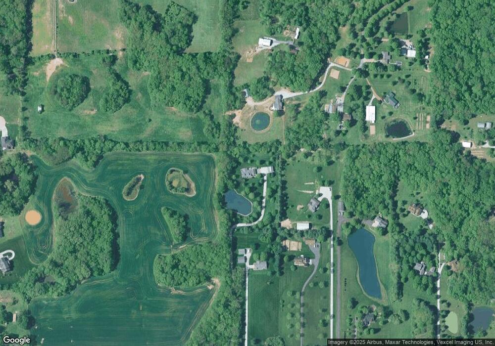
Map
Nearby Homes
- 0 Timber Rock Lot 80
- 0 Timber Rock Lot 79 Unit MAR24044971
- 0 Timber Rock Lot 78 Unit MAR24044969
- 0 Timber Rock Lot 77 Unit MAR24044965
- 0 Timber Rock Lot 76 Unit MAR24044963
- 0 Timber Rock Lot 75 Unit MAR24044962
- 0 Timber Rock Lot 74 Unit MAR24044960
- 0 Timber Rock Lot 73 Unit MAR24044957
- 0 Timber Rock Lot 72 Unit MAR24044955
- 0 Timber Rock Lot 71 Unit MAR24044927
- 0 Timber Rock Lot 70 Unit MAR24044924
- 0 Timber Rock Lot 69 Unit MAR24044921
- 0 Timber Rock Lot 68 Unit MAR24044918
- 0 Timber Rock Lot 67
- 0 Timber Rock Lot 66 Unit MAR24044916
- 0 Timber Rock Lot 65 Unit MAR24044915
- 0 Timber Rock Lot 64 Unit MAR24044909
- 0 Timber Rock Lot 63 Unit MAR24044907
- 0 Timber Rock Lot 62 Unit MAR24044905
- 0 Timber Rock Lot 61 Unit MAR24044902
- 7547 State Route 158
- 2205 Old Farm Rd
- 7555 State Route 158
- 7551 State Route 158
- 2201 Old Farm Rd
- 7545 State Route 158
- 2200 Old Farm Rd
- 6065 Bradford Estates Ct
- 2218 Old Farm Rd
- 7531 State Route 158
- 6009 Bradford Estates Ct
- 7606 State Route 158
- 6048 Bradford Estates Ct
- 7714 Orient Point Ct
- 2237 Old Farm Rd
- 2242 Old Farm Rd
- 7552 State Route 158
- 7715 Orient Point Ct
- 7715 Orient Point
- 7708 Orient Point Ct