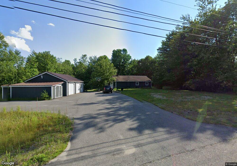
756 Bucksport Rd Ellsworth, ME 04605
Estimated Value: $279,413 - $333,000
3
Beds
1
Bath
1,312
Sq Ft
$234/Sq Ft
Est. Value
About This Home
This home is located at 756 Bucksport Rd, Ellsworth, ME 04605 and is currently estimated at $306,353, approximately $233 per square foot. 756 Bucksport Rd is a home located in Hancock County with nearby schools including Sumner Memorial High School.
Ownership History
Date
Name
Owned For
Owner Type
Purchase Details
Closed on
Aug 29, 2023
Sold by
Fancher Brian E and Fancher Karen S
Bought by
Hennigan Brian R and Hennigan Robin L
Current Estimated Value
Home Financials for this Owner
Home Financials are based on the most recent Mortgage that was taken out on this home.
Original Mortgage
$114,000
Outstanding Balance
$111,365
Interest Rate
6.96%
Mortgage Type
Purchase Money Mortgage
Estimated Equity
$194,988
Create a Home Valuation Report for This Property
The Home Valuation Report is an in-depth analysis detailing your home's value as well as a comparison with similar homes in the area
Home Values in the Area
Average Home Value in this Area
Purchase History
| Date | Buyer | Sale Price | Title Company |
|---|---|---|---|
| Hennigan Brian R | -- | None Available |
Source: Public Records
Mortgage History
| Date | Status | Borrower | Loan Amount |
|---|---|---|---|
| Open | Hennigan Brian R | $114,000 |
Source: Public Records
Tax History Compared to Growth
Tax History
| Year | Tax Paid | Tax Assessment Tax Assessment Total Assessment is a certain percentage of the fair market value that is determined by local assessors to be the total taxable value of land and additions on the property. | Land | Improvement |
|---|---|---|---|---|
| 2024 | $2,735 | $156,720 | $33,600 | $123,120 |
| 2023 | $2,421 | $139,955 | $32,200 | $107,755 |
| 2022 | $2,197 | $139,955 | $32,200 | $107,755 |
| 2021 | $2,063 | $114,400 | $28,000 | $86,400 |
| 2020 | $2,134 | $113,700 | $28,000 | $85,700 |
| 2019 | $2,139 | $113,700 | $28,000 | $85,700 |
| 2018 | $2,074 | $113,700 | $28,000 | $85,700 |
| 2017 | $2,031 | $113,000 | $28,400 | $84,600 |
| 2016 | $1,998 | $113,000 | $28,400 | $84,600 |
| 2015 | $2,000 | $113,000 | $28,400 | $84,600 |
| 2014 | $1,859 | $113,000 | $28,400 | $84,600 |
| 2012 | $1,746 | $113,000 | $28,000 | $85,000 |
Source: Public Records
Map
Nearby Homes
- 4 Addie Rd
- 36 Addie Rd
- 664 Bucksport Rd
- Lot 1-7 Manhattan Way
- Lot 48-2-8 Mayflower Way
- 1101
- 38 Travis Ct
- 00 Bucksport Rd
- Lot #1 Bucksport Rd
- M035L11-14 Lord Ave
- Map 38 Lot 11
- 221 Bucksport Rd
- 775 Red Bridge Rd
- 428 Bangor Rd
- 817 Red Bridge Rd
- 403 Bangor Rd
- 1118 Surry Rd
- 0 Bangor Rd
- Lot #13-1 Shore Rd
- 14 Westwood Dr
- 764 Bucksport Rd
- 746 Bucksport Rd
- 769 Bucksport Rd
- 739 Bucksport Rd
- 9 Whispering Pines Way
- 18 Ridge Way
- Lot 8 Bucksport Rd
- 10 Addie Rd
- 9 Ridge Way
- 24 Ridge Way
- 779 Bucksport Rd
- 12 Ridge Way
- 729 Bucksport Rd
- 30 Ridge Way
- 18 Addie Rd
- 21 Ridge Way
- 17 Ridge Way
- 5 Addie Rd
- 21 Whispering Pines Way
- 10 Whispering Pines Way