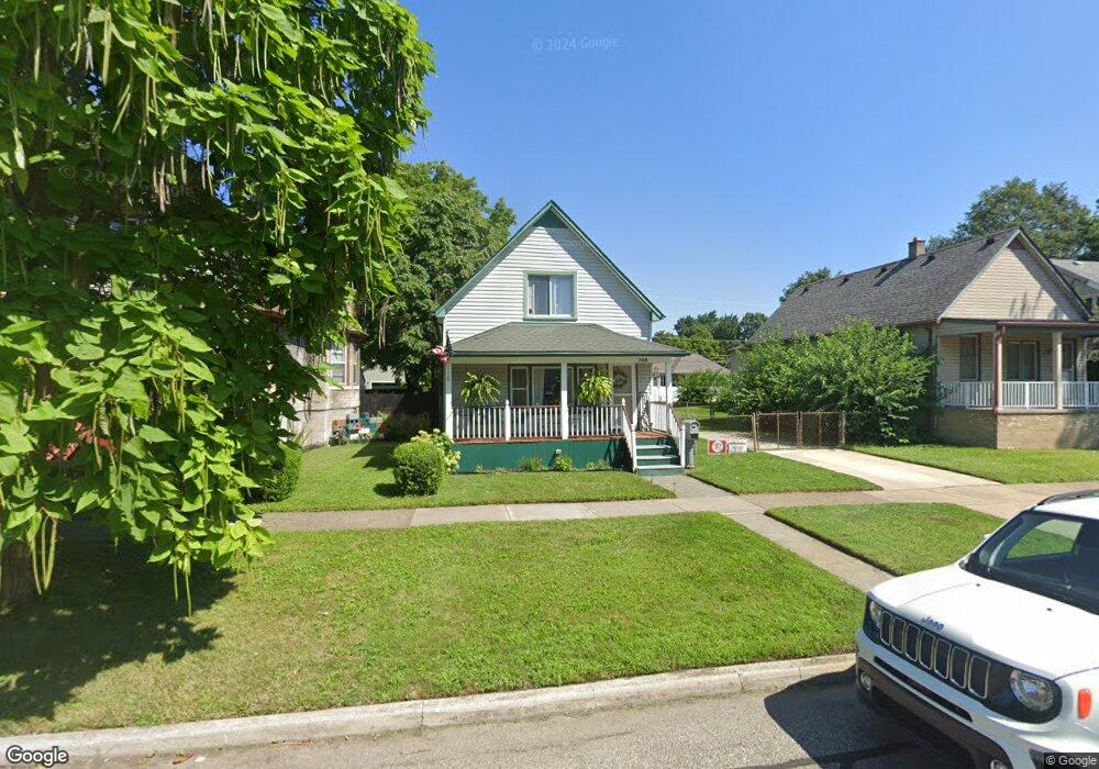
756 Cherry St Unit Bldg-Unit Wyandotte, MI 48192
Estimated Value: $147,000 - $208,000
--
Bed
1
Bath
1,046
Sq Ft
$170/Sq Ft
Est. Value
About This Home
This home is located at 756 Cherry St Unit Bldg-Unit, Wyandotte, MI 48192 and is currently estimated at $177,480, approximately $169 per square foot. 756 Cherry St Unit Bldg-Unit is a home located in Wayne County with nearby schools including Monroe Elementary School, Woodrow Wilson School, and Roosevelt High School.
Ownership History
Date
Name
Owned For
Owner Type
Purchase Details
Closed on
Mar 31, 2021
Sold by
Sutherland Shelly
Bought by
Sutherland Shelly and Sutherland Kayley
Current Estimated Value
Purchase Details
Closed on
May 24, 2018
Sold by
Deleel Dustin
Bought by
Sutherland Shelly
Purchase Details
Closed on
Mar 1, 2012
Sold by
Whiteaker Jason M and Whiteaker Dion H
Bought by
The Federal National Mortgage Associatio
Purchase Details
Closed on
Jun 13, 2003
Sold by
Whiteaker Dion H and Francis Dion H
Bought by
Whiteaker Jason M
Purchase Details
Closed on
Aug 12, 1997
Sold by
Timothy Debra and Timothy Tolbert
Bought by
Dion H Francis
Create a Home Valuation Report for This Property
The Home Valuation Report is an in-depth analysis detailing your home's value as well as a comparison with similar homes in the area
Home Values in the Area
Average Home Value in this Area
Purchase History
| Date | Buyer | Sale Price | Title Company |
|---|---|---|---|
| Sutherland Shelly | -- | Michigan Title Ins Agcy Inc | |
| Sutherland Shelly | $75,000 | First American Title Ins Co | |
| The Federal National Mortgage Associatio | $81,717 | None Available | |
| Whiteaker Jason M | -- | Minnesota Title Agency | |
| Dion H Francis | $60,000 | -- |
Source: Public Records
Tax History Compared to Growth
Tax History
| Year | Tax Paid | Tax Assessment Tax Assessment Total Assessment is a certain percentage of the fair market value that is determined by local assessors to be the total taxable value of land and additions on the property. | Land | Improvement |
|---|---|---|---|---|
| 2025 | $2,590 | $72,300 | $0 | $0 |
| 2024 | $2,590 | $67,700 | $0 | $0 |
| 2023 | $2,470 | $65,500 | $0 | $0 |
| 2022 | $2,861 | $63,400 | $0 | $0 |
| 2021 | $2,804 | $59,700 | $0 | $0 |
| 2020 | $2,765 | $51,000 | $0 | $0 |
| 2019 | $2,727 | $49,700 | $0 | $0 |
| 2018 | $1,363 | $37,500 | $0 | $0 |
| 2017 | $1,138 | $37,500 | $0 | $0 |
| 2016 | $2,185 | $33,500 | $0 | $0 |
| 2015 | $2,942 | $31,100 | $0 | $0 |
| 2013 | $2,850 | $28,500 | $0 | $0 |
| 2012 | $1,402 | $29,800 | $10,200 | $19,600 |
Source: Public Records
Map
Nearby Homes