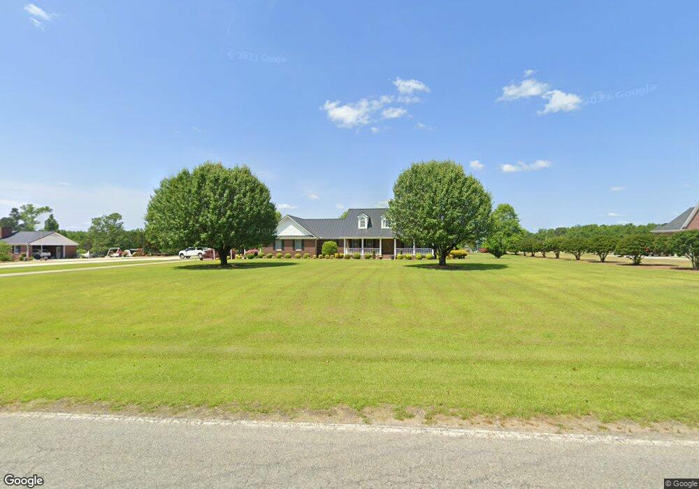
756 Ozzie Rd Clinton, NC 28328
Estimated Value: $263,000 - $398,248
3
Beds
2
Baths
2,941
Sq Ft
$114/Sq Ft
Est. Value
About This Home
This home is located at 756 Ozzie Rd, Clinton, NC 28328 and is currently estimated at $336,062, approximately $114 per square foot. 756 Ozzie Rd is a home located in Sampson County with nearby schools including Union Elementary School, Union Intermediate School, and Union Middle School.
Ownership History
Date
Name
Owned For
Owner Type
Purchase Details
Closed on
Jun 23, 2017
Sold by
Nicholas G Gooden
Bought by
King Anthony and King Brenda
Current Estimated Value
Home Financials for this Owner
Home Financials are based on the most recent Mortgage that was taken out on this home.
Original Mortgage
$3,070,000
Outstanding Balance
$2,545,163
Interest Rate
3.9%
Estimated Equity
-$2,209,101
Purchase Details
Closed on
Jan 22, 1998
Bought by
King Brenda Sue H
Create a Home Valuation Report for This Property
The Home Valuation Report is an in-depth analysis detailing your home's value as well as a comparison with similar homes in the area
Home Values in the Area
Average Home Value in this Area
Purchase History
| Date | Buyer | Sale Price | Title Company |
|---|---|---|---|
| King Anthony | -- | -- | |
| King Brenda Sue H | -- | -- |
Source: Public Records
Mortgage History
| Date | Status | Borrower | Loan Amount |
|---|---|---|---|
| Open | King Anthony | $3,070,000 | |
| Closed | King Anthony | -- |
Source: Public Records
Tax History Compared to Growth
Tax History
| Year | Tax Paid | Tax Assessment Tax Assessment Total Assessment is a certain percentage of the fair market value that is determined by local assessors to be the total taxable value of land and additions on the property. | Land | Improvement |
|---|---|---|---|---|
| 2025 | $2,713 | $347,789 | $14,595 | $333,194 |
| 2024 | $2,469 | $347,789 | $14,595 | $333,194 |
| 2023 | $2,207 | $238,642 | $12,691 | $225,951 |
| 2022 | $2,207 | $238,642 | $12,691 | $225,951 |
| 2021 | $2,207 | $238,642 | $12,691 | $225,951 |
| 2020 | $2,207 | $238,642 | $12,691 | $225,951 |
| 2019 | $1,938 | $209,516 | $0 | $0 |
| 2018 | $1,709 | $190,937 | $0 | $0 |
| 2017 | $1,709 | $190,937 | $0 | $0 |
| 2016 | $1,718 | $190,937 | $0 | $0 |
| 2015 | $1,718 | $190,937 | $0 | $0 |
| 2014 | $1,718 | $190,937 | $0 | $0 |
Source: Public Records
Map
Nearby Homes
- 0 Hillside Ln
- 1539 Old Us 701 Hwy
- 75 Lisbon Bridge Rd
- 4205 Bass Lake Rd
- 865 Cecil Odie Rd
- 8401 Boykin Bridge Rd
- 3001 Ebenezer Forrest Rd
- 1560 Register Sutton Rd
- 0 Boykin Bridge Rd
- 1 Boykin Bridge Rd
- 2317 River Rd
- 2080 Indian Town Rd
- 2228 Indian Town Rd
- 0 Reedsford Rd
- 0 Big Piney Grove Rd
- 111 Colonial Dr
- 500 Rowan Rd
- 114 Mountaineer Ln
- 1206 Southwest Blvd
- 107 Oakmont Dr