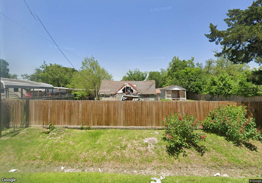
756 W Rittenhouse Rd Houston, TX 77091
Acres Homes NeighborhoodEstimated Value: $224,583 - $313,000
4
Beds
2
Baths
1,156
Sq Ft
$219/Sq Ft
Est. Value
About This Home
This home is located at 756 W Rittenhouse Rd, Houston, TX 77091 and is currently estimated at $253,396, approximately $219 per square foot. 756 W Rittenhouse Rd is a home located in Harris County with nearby schools including Wesley Elementary School, Williams Middle, and Booker T Washington Sr High.
Ownership History
Date
Name
Owned For
Owner Type
Purchase Details
Closed on
May 24, 2018
Sold by
Hunold Jake and Hunold Taylor
Bought by
Moran Gustavo
Current Estimated Value
Home Financials for this Owner
Home Financials are based on the most recent Mortgage that was taken out on this home.
Original Mortgage
$100,000
Interest Rate
4.5%
Mortgage Type
New Conventional
Purchase Details
Closed on
Apr 26, 2007
Sold by
Hunold Erma
Bought by
Hunold Jake and Hunold Taylor
Purchase Details
Closed on
Mar 20, 1998
Sold by
Martin Mittie Mae and King Mittie Mae
Bought by
Hunold Erbin D and Hunold Erma L
Create a Home Valuation Report for This Property
The Home Valuation Report is an in-depth analysis detailing your home's value as well as a comparison with similar homes in the area
Home Values in the Area
Average Home Value in this Area
Purchase History
| Date | Buyer | Sale Price | Title Company |
|---|---|---|---|
| Moran Gustavo | -- | Old Republic National Title | |
| Hunold Jake | -- | None Available | |
| Hunold Erbin D | -- | -- |
Source: Public Records
Mortgage History
| Date | Status | Borrower | Loan Amount |
|---|---|---|---|
| Closed | Moran Gustavo | $100,000 |
Source: Public Records
Tax History Compared to Growth
Tax History
| Year | Tax Paid | Tax Assessment Tax Assessment Total Assessment is a certain percentage of the fair market value that is determined by local assessors to be the total taxable value of land and additions on the property. | Land | Improvement |
|---|---|---|---|---|
| 2025 | $4,724 | $225,772 | $196,862 | $28,910 |
| 2024 | $4,724 | $225,772 | $196,862 | $28,910 |
| 2023 | $4,724 | $245,171 | $196,862 | $48,309 |
| 2022 | $4,361 | $198,037 | $153,648 | $44,389 |
| 2021 | $2,688 | $115,352 | $96,030 | $19,322 |
| 2020 | $1,687 | $69,671 | $49,936 | $19,735 |
| 2019 | $1,013 | $40,017 | $19,206 | $20,811 |
| 2018 | $974 | $38,504 | $19,206 | $19,298 |
| 2017 | $974 | $38,504 | $19,206 | $19,298 |
| 2016 | $974 | $38,504 | $19,206 | $19,298 |
| 2015 | -- | $35,831 | $13,203 | $22,628 |
| 2014 | -- | $0 | $0 | $0 |
Source: Public Records
Map
Nearby Homes
- 747 W Rittenhouse Rd
- 859 W Rittenhouse St
- 775 Rittenhouse St
- 748 Millville Dr
- 740 Millville Dr
- 715 W Rittenhouse Rd
- 7014 De Priest St
- 741 Granville Dr
- 6220 De Priest St
- 862 Granville Dr
- 824 W Rittenhouse St
- 814 Granville Dr
- 855 W Little York Rd
- 834 Green Meadow Ln
- 0 Lovers Ln Unit 36585920
- 872 Granville Dr
- 899 W Little York Rd
- 6315 N Shepherd Dr
- 0 De Priest St Unit 66567963
- 786 Lucky St
- 748 W Rittenhouse Rd
- 760 Rittenhouse Rd
- 744 W Rittenhouse Rd
- 766 W Rittenhouse Rd
- 755 W Rittenhouse Rd
- 743 Millville Dr
- 755 Millville Dr
- 740 W Rittenhouse Rd
- 740 W Rittenhouse Rd
- 772 W Rittenhouse Rd
- 763 W Rittenhouse Rd
- 759 Millville Dr
- 741 Millville Dr
- 761 Millville Dr
- 736 W Rittenhouse Rd
- 767 W Rittenhouse Rd
- 771 W Rittenhouse Rd
- 778 W Rittenhouse Rd
- 737 Millville Dr
- 771 Millville Dr Unit 1