7560 Ryders Rest Ln Saint Michaels, MD 21663
Estimated Value: $1,418,512 - $1,605,000
--
Bed
3
Baths
2,177
Sq Ft
$695/Sq Ft
Est. Value
About This Home
This home is located at 7560 Ryders Rest Ln, Saint Michaels, MD 21663 and is currently estimated at $1,513,628, approximately $695 per square foot. 7560 Ryders Rest Ln is a home located in Talbot County with nearby schools including St. Michaels Elementary School, St. Michaels Middle/High School, and Easton High School.
Ownership History
Date
Name
Owned For
Owner Type
Purchase Details
Closed on
Mar 20, 2020
Sold by
Penchenski Alice A and Berg Estella E
Bought by
Nelmes John Gosse and Hart Adriane Julia
Current Estimated Value
Purchase Details
Closed on
Feb 13, 2012
Sold by
Berg Janet S
Bought by
Penchenski Alice A and Berg Estella E
Purchase Details
Closed on
Jun 11, 1981
Sold by
Catalpa Partnership
Bought by
Berg Dennis
Home Financials for this Owner
Home Financials are based on the most recent Mortgage that was taken out on this home.
Original Mortgage
$75,000
Interest Rate
16.76%
Create a Home Valuation Report for This Property
The Home Valuation Report is an in-depth analysis detailing your home's value as well as a comparison with similar homes in the area
Home Values in the Area
Average Home Value in this Area
Purchase History
| Date | Buyer | Sale Price | Title Company |
|---|---|---|---|
| Nelmes John Gosse | $900,000 | Chicago Title Insurance Co | |
| Penchenski Alice A | -- | None Available | |
| Berg Janet S | -- | None Available | |
| Berg Dennis | $200,000 | -- |
Source: Public Records
Mortgage History
| Date | Status | Borrower | Loan Amount |
|---|---|---|---|
| Previous Owner | Berg Dennis | $75,000 |
Source: Public Records
Tax History Compared to Growth
Tax History
| Year | Tax Paid | Tax Assessment Tax Assessment Total Assessment is a certain percentage of the fair market value that is determined by local assessors to be the total taxable value of land and additions on the property. | Land | Improvement |
|---|---|---|---|---|
| 2025 | $8,645 | $1,010,200 | $656,000 | $354,200 |
| 2024 | $8,645 | $959,133 | $0 | $0 |
| 2023 | $7,760 | $908,067 | $0 | $0 |
| 2022 | $6,804 | $856,700 | $622,900 | $233,800 |
| 2021 | $6,418 | $834,400 | $0 | $0 |
| 2020 | $6,144 | $812,100 | $0 | $0 |
| 2019 | $3,181 | $793,200 | $574,500 | $218,700 |
| 2018 | $3,072 | $793,200 | $574,500 | $218,700 |
| 2017 | $2,957 | $793,200 | $0 | $0 |
| 2016 | $2,899 | $857,900 | $0 | $0 |
| 2015 | $2,750 | $857,900 | $0 | $0 |
| 2014 | $2,750 | $857,900 | $0 | $0 |
Source: Public Records
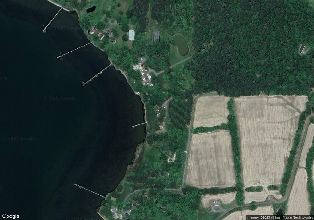
Map
Nearby Homes
- 7369 Drum Point Rd
- 0 Pea Neck Rd Map 32 Parcel 76 Lot 2
- 24912 Back Creek Dr
- 24390 Oakwood Park Rd
- 24318 Oakwood Park Rd
- 108 Miles
- 23857 Ebb Point Rd
- 105 Seymour Ave
- 23961 Lynnewood Dr
- 228 Tyler Ave
- Lot 16A Meadow St
- 704 Meadow St
- 807 Radcliff Ave
- 912 Calvert Ave
- 0 Grace St Unit MDTA2012346
- 107 E Chestnut St
- 106 Grace St
- 100 Grace St
- 222 E Chestnut St
- 23869 New Land Dr
- 24671 Beverly Rd
- 7520 Ryders Rest Ln
- 7480 Ryders Rest Ln
- 7570 Ryders Rest Ln
- 7481 Ryders Rest Ln
- 24601 Beverly Rd
- 7600 Pea Neck Rd
- 24575 Beverly Rd
- 7360 Hambleton Rd
- 7350 Hambleton Rd
- 24718 Beverly Rd
- 7652 Pea Neck Rd
- 7340 Hambleton Rd
- 24528 Beverly Rd
- 7330 Hambleton Rd
- 24540 Beverly Rd
- 7320 Hambleton Rd
- 7839 Follys Cove Rd
- 7310 Hambleton Rd
- 7803 Follys Cove Rd