7562 Morgantown Rd Maysville, WV 26833
Estimated Value: $137,271 - $184,000
3
Beds
1
Bath
1,118
Sq Ft
$152/Sq Ft
Est. Value
About This Home
This home is located at 7562 Morgantown Rd, Maysville, WV 26833 and is currently estimated at $169,568, approximately $151 per square foot. 7562 Morgantown Rd is a home located in Grant County with nearby schools including Maysville Elementary School and Petersburg High School.
Ownership History
Date
Name
Owned For
Owner Type
Purchase Details
Closed on
Oct 11, 2021
Sold by
Roby Jeannette P and Orndorf Sherry L
Bought by
Mast Samuel and Mast Verna M
Current Estimated Value
Home Financials for this Owner
Home Financials are based on the most recent Mortgage that was taken out on this home.
Original Mortgage
$122,310
Outstanding Balance
$111,050
Interest Rate
2.8%
Mortgage Type
Commercial
Estimated Equity
$58,518
Create a Home Valuation Report for This Property
The Home Valuation Report is an in-depth analysis detailing your home's value as well as a comparison with similar homes in the area
Home Values in the Area
Average Home Value in this Area
Purchase History
| Date | Buyer | Sale Price | Title Company |
|---|---|---|---|
| Mast Samuel | $135,900 | None Available |
Source: Public Records
Mortgage History
| Date | Status | Borrower | Loan Amount |
|---|---|---|---|
| Open | Mast Samuel | $122,310 |
Source: Public Records
Tax History Compared to Growth
Tax History
| Year | Tax Paid | Tax Assessment Tax Assessment Total Assessment is a certain percentage of the fair market value that is determined by local assessors to be the total taxable value of land and additions on the property. | Land | Improvement |
|---|---|---|---|---|
| 2025 | $331 | $42,600 | $17,340 | $25,260 |
| 2024 | $346 | $43,080 | $17,340 | $25,740 |
| 2023 | $340 | $42,300 | $17,340 | $24,960 |
| 2022 | $337 | $41,940 | $17,340 | $24,600 |
| 2021 | $331 | $41,220 | $17,340 | $23,880 |
| 2020 | $328 | $40,860 | $17,340 | $23,520 |
| 2019 | $277 | $40,860 | $17,340 | $23,520 |
| 2018 | $145 | $41,280 | $17,340 | $23,940 |
| 2017 | $145 | $41,280 | $17,340 | $23,940 |
| 2016 | $147 | $41,700 | $17,340 | $24,360 |
| 2015 | $147 | $41,700 | $17,340 | $24,360 |
| 2014 | $150 | $42,120 | $17,340 | $24,780 |
Source: Public Records
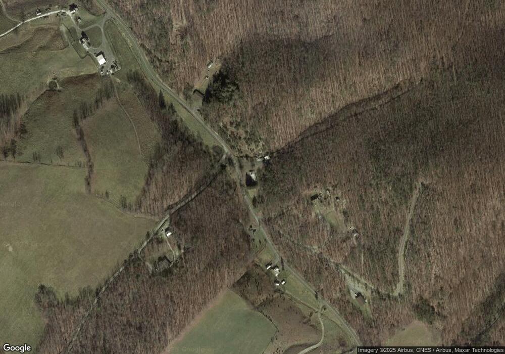
Map
Nearby Homes
- 7652 Morgantown Rd
- 13 Hunrish Ln
- 4645 Lower Knobley Rd
- 19 Swan Rd
- 547 Haven Farms Cir
- 2467 Roby Rd
- 0 Roby Rd
- 0 Intimidators Rd
- 1294 Winding Ln
- 1039 High Point Dr
- 361 Clarks View Dr
- 1602 Walnut Bottom Hideaway
- 523 Gloryridge Dr
- 230 Polar Bear Rd
- 307 Earl Barr Ln
- 0 Mt Lakeside Sub Divide Meadows Unit WVGT2000244
- 641 Paul Stahl Rd
- 479 Frosty Hollow Rd
- 7642 Jordan Run Rd
- 133 Upper Hawk Ridge Rd
- 7493 Morgantown Rd
- 75 Cherokee Ridge
- 157 Rohrbaugh Ln
- 112 Cherokee Ridge
- 7799 Morgantown Rd
- 7313 Morgantown Rd
- 72 Morgantown Rd
- 7138 Morgantown Rd
- 7992 Morgantown Rd
- 8018 Morgantown Rd
- 513 Teaberry Rd
- 535 Pin Oak Rd
- 400 Pin Oak Rd
- 820 Rohrbaugh Ln
- 0 Thorn Run Rd Unit 1007014198
- 0 Thorn Run Rd Unit 1006812586
- 0 Thorn Run Rd Unit 1006724838
- 0 Thorn Run Rd Unit GT8139982
- 1528 Outlaw Trail
- 474 Chinese Elm Dr