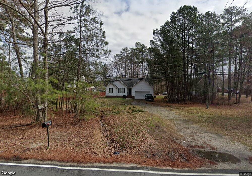
7565 Belmont Rd Chesterfield, VA 23832
North Chesterfield NeighborhoodEstimated Value: $325,000 - $351,751
3
Beds
2
Baths
1,412
Sq Ft
$238/Sq Ft
Est. Value
About This Home
This home is located at 7565 Belmont Rd, Chesterfield, VA 23832 and is currently estimated at $335,438, approximately $237 per square foot. 7565 Belmont Rd is a home located in Chesterfield County with nearby schools including J G Hening Elementary School, Manchester Middle School, and Meadowbrook High School.
Ownership History
Date
Name
Owned For
Owner Type
Purchase Details
Closed on
Dec 14, 2011
Sold by
First Community Bank
Bought by
Mcdonald Derek L
Current Estimated Value
Home Financials for this Owner
Home Financials are based on the most recent Mortgage that was taken out on this home.
Original Mortgage
$137,474
Outstanding Balance
$92,860
Interest Rate
3.75%
Mortgage Type
FHA
Estimated Equity
$242,578
Purchase Details
Closed on
Sep 19, 2011
Sold by
Kepley Broscius And Briggs Plc
Bought by
First Community Bank
Purchase Details
Closed on
Aug 9, 2011
Sold by
Branch Banking And Trust Co
Bought by
Rigsbee Samuel R
Create a Home Valuation Report for This Property
The Home Valuation Report is an in-depth analysis detailing your home's value as well as a comparison with similar homes in the area
Home Values in the Area
Average Home Value in this Area
Purchase History
| Date | Buyer | Sale Price | Title Company |
|---|---|---|---|
| Mcdonald Derek L | $141,050 | -- | |
| First Community Bank | $141,000 | -- | |
| Rigsbee Samuel R | -- | -- |
Source: Public Records
Mortgage History
| Date | Status | Borrower | Loan Amount |
|---|---|---|---|
| Open | Mcdonald Derek L | $137,474 |
Source: Public Records
Tax History Compared to Growth
Tax History
| Year | Tax Paid | Tax Assessment Tax Assessment Total Assessment is a certain percentage of the fair market value that is determined by local assessors to be the total taxable value of land and additions on the property. | Land | Improvement |
|---|---|---|---|---|
| 2025 | $2,826 | $314,700 | $60,300 | $254,400 |
| 2024 | $2,826 | $302,100 | $55,800 | $246,300 |
| 2023 | $2,604 | $286,200 | $54,000 | $232,200 |
| 2022 | $2,336 | $253,900 | $45,000 | $208,900 |
| 2021 | $1,990 | $202,500 | $40,500 | $162,000 |
| 2020 | $1,868 | $196,600 | $40,500 | $156,100 |
| 2019 | $1,927 | $202,800 | $45,000 | $157,800 |
| 2018 | $1,793 | $188,700 | $42,000 | $146,700 |
| 2017 | $1,760 | $183,300 | $42,000 | $141,300 |
| 2016 | $1,561 | $162,600 | $40,000 | $122,600 |
| 2015 | $1,586 | $162,600 | $40,000 | $122,600 |
| 2014 | $1,586 | $162,600 | $40,000 | $122,600 |
Source: Public Records
Map
Nearby Homes
- 7813 Centerbrook Place
- 7141 Barkbridge Rd
- 7342 Drexelbrook Rd
- 5700 S Jessup Rd
- 6125 Waterman Place
- 5304 Copperpenny Ct
- 6430 Kings Crest Ct
- 4884 Wedgemere Rd
- 5819 Kings Grove Dr
- 5300 Copperpenny Rd
- 5206 Hallmark Dr
- 6101 Whisperwood Dr
- 909 Scott Bluff Terrace
- 913 Scott Bluff Terrace
- 911 Scott Bluff Terrace
- 927 Scott Bluff Terrace
- 917 Scott Bluff Terrace
- 923 Scott Bluff Terrace
- 907 Scott Bluff Terrace
- 915 Scott Bluff Terrace
- 7410 Cannock Rd
- 7557 Belmont Rd
- 7549 Belmont Rd
- 5760 Baron Dr
- 5752 Baron Dr
- 7411 Cannock Rd
- 7541 Belmont Rd
- 5800 Baron Dr
- 5744 Baron Dr
- 7609 Belmont Rd
- 7533 Belmont Rd
- 5808 Baron Dr
- 5736 Baron Dr
- 5753 Baron Dr
- 5767 Baron Dr
- 7525 Belmont Rd
- 5816 Baron Dr
- 5741 Baron Dr
- 5801 Northford Place
- 5800 Northford Place