7568 State Highway 96 Westcliffe, CO 81252
Estimated Value: $480,464 - $543,000
3
Beds
2
Baths
1,792
Sq Ft
$289/Sq Ft
Est. Value
About This Home
This home is located at 7568 State Highway 96, Westcliffe, CO 81252 and is currently estimated at $518,155, approximately $289 per square foot. 7568 State Highway 96 is a home located in Custer County with nearby schools including Custer County Elementary School, Custer Middle School, and Custer County High School.
Ownership History
Date
Name
Owned For
Owner Type
Purchase Details
Closed on
Dec 2, 2016
Sold by
Cullison William R and Cullison Roxanne L
Bought by
Millette Joel G
Current Estimated Value
Purchase Details
Closed on
Oct 25, 1999
Sold by
Harding Gary L and Harding Karen A
Bought by
Cullison William R and Cullison Roxanne L
Purchase Details
Closed on
Aug 23, 1994
Sold by
Phillips J J and Phillips Wilma
Bought by
Harding Gary and Harding Karen
Purchase Details
Closed on
Oct 4, 1993
Sold by
Erickson Julia
Bought by
Phillips J M J and Phillips Wilma
Create a Home Valuation Report for This Property
The Home Valuation Report is an in-depth analysis detailing your home's value as well as a comparison with similar homes in the area
Home Values in the Area
Average Home Value in this Area
Purchase History
| Date | Buyer | Sale Price | Title Company |
|---|---|---|---|
| Millette Joel G | -- | Stewart Title | |
| Cullison William R | $42,500 | -- | |
| Harding Gary | $15,900 | -- | |
| Phillips J M J | $11,000 | -- |
Source: Public Records
Tax History Compared to Growth
Tax History
| Year | Tax Paid | Tax Assessment Tax Assessment Total Assessment is a certain percentage of the fair market value that is determined by local assessors to be the total taxable value of land and additions on the property. | Land | Improvement |
|---|---|---|---|---|
| 2024 | $1,527 | $27,920 | $0 | $0 |
| 2023 | $1,527 | $27,920 | $0 | $0 |
| 2022 | $1,268 | $19,670 | $3,930 | $15,740 |
| 2021 | $1,300 | $19,670 | $3,930 | $15,740 |
| 2020 | $1,157 | $17,720 | $3,930 | $13,790 |
| 2019 | $1,151 | $17,720 | $3,930 | $13,790 |
| 2018 | $1,041 | $15,930 | $3,960 | $11,970 |
| 2017 | $1,009 | $15,933 | $3,957 | $11,976 |
| 2016 | $764 | $20,520 | $4,950 | $15,570 |
| 2015 | -- | $257,663 | $62,127 | $195,536 |
| 2012 | $1,356 | $286,739 | $86,977 | $199,762 |
Source: Public Records
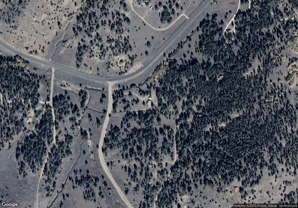
Map
Nearby Homes
- 5151 County Road 160
- 294 Vista de Agua
- TBD Kankakee Rd
- 1500 Bunker Hill Cir
- 1500 Bunker Hill Rd
- 1579 County Road 341
- 2240 County Road 341
- 2138 County Road 341
- 207 Bunker Hill Rd
- 5100 Colorado 96
- TBD Derigo Ln
- 838 County Road 260
- 2141 County Road 341
- 2240 Cr 341
- 9591 State Highway 96
- 0 County Road 341 Unit REC8809317
- 9591 Colorado 96
- 0 000 Unit 2517439
- 680 Ridge Rd
- 950 Co Rd 330
- 7568 State Highway 96
- 7568 State Highway 96
- 7568 State Highway 96
- 201 County Rd 341 Unit 24
- 0000 Cr 341
- 210 Todd Trail
- 2141 County Rd 341 Unit 7
- 78 Chadwick Ln
- 190 Todd Trail
- 51 Todd Trail
- 274 Todd Trail
- 279 Chadwick Ln Unit 5+
- 279 Chadwick Ln
- 7629 State Highway 96
- 148 Todd Way
- 53 Chadwick Ln
- 53 Chadwick Ln Unit 2
- 7710 Hwy 96
- 7710 Hwy 96 Unit 21
- 7710 Colorado 96 Unit 21