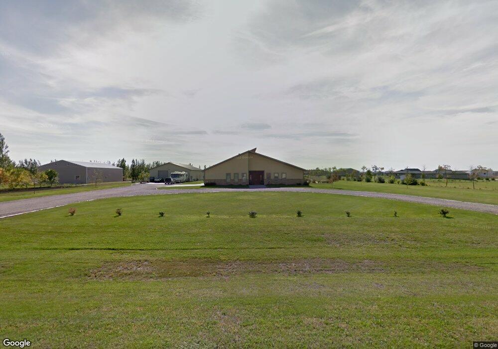
757 42nd Ave W West Fargo, ND 58078
Westport Beach NeighborhoodEstimated Value: $824,000
3
Beds
3
Baths
3,978
Sq Ft
$207/Sq Ft
Est. Value
About This Home
This home is located at 757 42nd Ave W, West Fargo, ND 58078 and is currently estimated at $824,000, approximately $207 per square foot. 757 42nd Ave W is a home located in Cass County with nearby schools including Legacy Elementary School, Liberty Middle School, and West Fargo Sheyenne High School.
Ownership History
Date
Name
Owned For
Owner Type
Purchase Details
Closed on
Apr 12, 2007
Sold by
Steffan Travis and Steffan April
Bought by
Albrecht John P and Albrecht Jennifer J
Current Estimated Value
Purchase Details
Closed on
Mar 8, 2007
Sold by
Steffan Travis and Steffan April
Bought by
Albrecht John P and Albrecht Jennifer J
Purchase Details
Closed on
Dec 15, 2005
Sold by
Nelson Neil R and Nelson Anne I
Bought by
Randall Anthony
Create a Home Valuation Report for This Property
The Home Valuation Report is an in-depth analysis detailing your home's value as well as a comparison with similar homes in the area
Home Values in the Area
Average Home Value in this Area
Purchase History
| Date | Buyer | Sale Price | Title Company |
|---|---|---|---|
| Albrecht John P | -- | -- | |
| Albrecht John P | -- | -- | |
| Randall Anthony | -- | -- |
Source: Public Records
Tax History Compared to Growth
Tax History
| Year | Tax Paid | Tax Assessment Tax Assessment Total Assessment is a certain percentage of the fair market value that is determined by local assessors to be the total taxable value of land and additions on the property. | Land | Improvement |
|---|---|---|---|---|
| 2024 | $13,899 | $483,700 | $106,500 | $377,200 |
| 2023 | $13,445 | $447,900 | $89,000 | $358,900 |
| 2022 | $12,859 | $421,100 | $89,000 | $332,100 |
| 2021 | $11,626 | $374,600 | $55,400 | $319,200 |
| 2020 | $10,977 | $356,650 | $55,400 | $301,250 |
| 2019 | $10,752 | $343,350 | $55,400 | $287,950 |
| 2018 | $10,782 | $357,350 | $55,400 | $301,950 |
| 2017 | $10,209 | $351,650 | $55,400 | $296,250 |
| 2016 | $9,266 | $364,750 | $55,400 | $309,350 |
| 2015 | $8,148 | $303,250 | $34,200 | $269,050 |
| 2014 | $8,064 | $283,400 | $34,200 | $249,200 |
| 2013 | $8,192 | $283,400 | $34,200 | $249,200 |
Source: Public Records
Map
Nearby Homes
- 4534 Westport Pkwy
- 4507 Newport Ln
- 909 38 1 2 Ave W
- 1054 42nd Ave W
- 4509 11th St W
- 1168 43rd Ave W
- 1156 42nd Ave W Unit A
- 1381 Westport Beach Way
- 1040 39th Ave W
- 1236 S Beach Way
- 4717 11th St W
- 4355 66th St S
- 3662 N Sedona Ct
- 4337 66th St S
- 4757 11th St W
- 911 50th Ave W
- 974 50th Ave W
- 319 50th Place W
- 1089 Hickory Ln
- 1097 Hickory Ln
- 679 42nd Ave W
- 758 42nd Ave W
- 836 42nd Ave W
- 680 42nd Ave W
- 601 42nd Ave W
- 446 42nd Ave W
- 914 Westport Pkwy
- 920 Westport Pkwy
- 908 Westport Pkwy
- 902 Westport Pkwy
- 907 42nd Ave W
- 926 Westport Pkwy
- 4401 Westport Pkwy
- 915 42nd Ave W
- 602 42nd Ave W
- 4407 Westport Pkwy
- 910 42nd Ave W
- 4413 Westport Pkwy
- 919 42nd Ave W
- 932 Westport Pkwy