757 Division Rd Westport, MA 02790
South Westport NeighborhoodEstimated Value: $1,450,000 - $3,003,000
2
Beds
3
Baths
2,485
Sq Ft
$936/Sq Ft
Est. Value
About This Home
This home is located at 757 Division Rd, Westport, MA 02790 and is currently estimated at $2,325,175, approximately $935 per square foot. 757 Division Rd is a home located in Bristol County with nearby schools including Alice A. Macomber Primary School, Westport Elementary School, and Westport Middle-High School.
Ownership History
Date
Name
Owned For
Owner Type
Purchase Details
Closed on
Nov 4, 2022
Sold by
Gay Paul L and Gay Viola P
Bought by
Blumpachunk Llc
Current Estimated Value
Home Financials for this Owner
Home Financials are based on the most recent Mortgage that was taken out on this home.
Original Mortgage
$2,000,000
Outstanding Balance
$1,930,878
Interest Rate
6.7%
Mortgage Type
Purchase Money Mortgage
Estimated Equity
$394,297
Create a Home Valuation Report for This Property
The Home Valuation Report is an in-depth analysis detailing your home's value as well as a comparison with similar homes in the area
Home Values in the Area
Average Home Value in this Area
Purchase History
| Date | Buyer | Sale Price | Title Company |
|---|---|---|---|
| Blumpachunk Llc | $2,500,000 | None Available |
Source: Public Records
Mortgage History
| Date | Status | Borrower | Loan Amount |
|---|---|---|---|
| Open | Blumpachunk Llc | $2,000,000 |
Source: Public Records
Tax History Compared to Growth
Tax History
| Year | Tax Paid | Tax Assessment Tax Assessment Total Assessment is a certain percentage of the fair market value that is determined by local assessors to be the total taxable value of land and additions on the property. | Land | Improvement |
|---|---|---|---|---|
| 2025 | $8,805 | $1,181,820 | $240,820 | $941,000 |
| 2024 | $6,360 | $0 | $0 | $0 |
| 2023 | $5,941 | $728,030 | $170,430 | $557,600 |
| 2022 | $4,050 | $617,980 | $169,180 | $448,800 |
| 2021 | $4,050 | $469,840 | $0 | $0 |
| 2020 | $3,233 | $383,540 | $0 | $0 |
| 2019 | $3,180 | $384,490 | $147,990 | $236,500 |
| 2018 | $2,948 | $360,780 | $0 | $0 |
| 2017 | $2,927 | $367,230 | $0 | $0 |
| 2016 | $2,844 | $359,570 | $0 | $0 |
| 2015 | $2,808 | $354,070 | $0 | $0 |
Source: Public Records
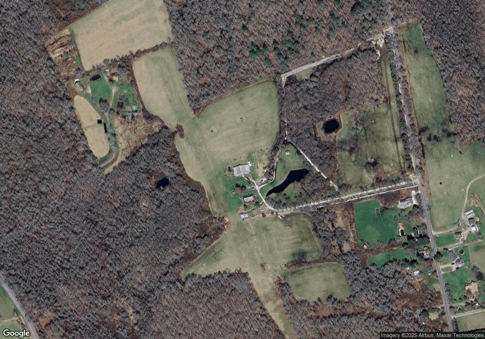
Map
Nearby Homes
- 99 Sylvia Ln
- Lot 2 Horseneck Rd
- Lot 2E Horseneck Rd
- 1702 Drift Rd
- 1702J Drift Rd
- 2 Slades Farm Ln
- 1881 Main Rd
- 1749 Main Rd
- 1580 Main Rd
- 1150 Russells Mills Rd
- 225 Hixbridge Rd
- 238-242 E Beach Rd
- 61 Pardon Hill Rd
- 920 Drift Rd
- Lot 1 Rafael Rd
- 1346 Main Rd Unit B
- 73 White Oak Run
- 24 White Alder Way
- 158 Little River Rd
- 837 Main Rd
- 765 Division Rd
- 767 Division Rd
- 771 Division Rd
- 775 Division Rd
- 779 Division Rd
- 774 Division Rd
- 776 Division Rd
- 799 Division Rd
- 821 Division Rd
- 5 Gooseberry Farms Ln
- 4 Gooseberry Farms Ln
- 784 Division Rd
- 819 Division Rd
- 823 Division Rd
- 3 Gooseberry Farms Ln
- 825 Division Rd
- 591 Horseneck Rd
- 2 Gooseberry Farms Ln
- 587 Horseneck Rd
- 13 Owls Way