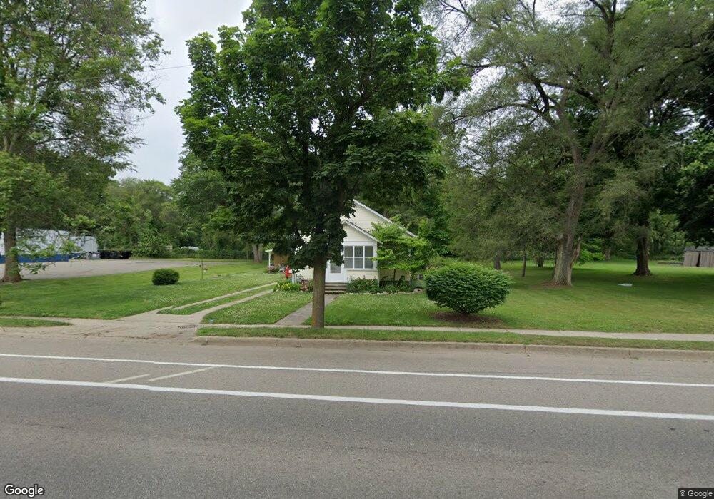
757 N Main St Plainwell, MI 49080
Estimated Value: $164,000 - $205,000
2
Beds
1
Bath
630
Sq Ft
$281/Sq Ft
Est. Value
About This Home
This home is located at 757 N Main St, Plainwell, MI 49080 and is currently estimated at $176,955, approximately $280 per square foot. 757 N Main St is a home located in Allegan County with nearby schools including Plainwell High School and Otsego Christian Academy.
Ownership History
Date
Name
Owned For
Owner Type
Purchase Details
Closed on
May 16, 2015
Sold by
Radke Ellen L
Bought by
Radke Ellen L and Hubbard Jody
Current Estimated Value
Purchase Details
Closed on
Aug 10, 2007
Sold by
George Daniel S and George Melinda S
Bought by
Radke Ellen
Purchase Details
Closed on
May 17, 2007
Sold by
George Daniel S and George Melinda S
Bought by
Washington Mutual Bank
Create a Home Valuation Report for This Property
The Home Valuation Report is an in-depth analysis detailing your home's value as well as a comparison with similar homes in the area
Home Values in the Area
Average Home Value in this Area
Purchase History
| Date | Buyer | Sale Price | Title Company |
|---|---|---|---|
| Radke Ellen L | -- | None Available | |
| Radke Ellen | $71,000 | Devon Title Agency | |
| Washington Mutual Bank | $61,447 | None Available |
Source: Public Records
Tax History Compared to Growth
Tax History
| Year | Tax Paid | Tax Assessment Tax Assessment Total Assessment is a certain percentage of the fair market value that is determined by local assessors to be the total taxable value of land and additions on the property. | Land | Improvement |
|---|---|---|---|---|
| 2025 | $1,695 | $68,300 | $21,300 | $47,000 |
| 2024 | $1,525 | $62,600 | $19,300 | $43,300 |
| 2023 | $1,521 | $55,700 | $17,900 | $37,800 |
| 2022 | $1,525 | $53,300 | $17,600 | $35,700 |
| 2021 | $1,465 | $48,900 | $16,100 | $32,800 |
| 2020 | $1,447 | $42,700 | $13,100 | $29,600 |
| 2019 | $1,313 | $40,200 | $12,500 | $27,700 |
| 2018 | $0 | $37,200 | $10,800 | $26,400 |
| 2017 | $0 | $36,000 | $10,500 | $25,500 |
| 2016 | $0 | $31,800 | $7,400 | $24,400 |
| 2015 | -- | $31,800 | $7,400 | $24,400 |
| 2014 | -- | $27,500 | $5,700 | $21,800 |
| 2013 | -- | $27,000 | $6,600 | $20,400 |
Source: Public Records
Map
Nearby Homes
- 771 N Main St
- 455 N 10th St
- 140 W 1st Ave
- 623 Glenview Cir
- 518 Foxmoor Dr Unit 39
- 204 N Sherwood Ave
- 965 Miller Rd
- 426 W Bridge St
- 1036 Sir Knight Rd
- 317 E Chart St
- 551 W Bridge St
- 721 E Bridge St
- 1081 Sir Knight Rd
- 830 Miller Rd Unit 9.86 Acres
- 830 Miller Rd Unit 26.94 Acres
- 830 Miller Rd Unit 15 Acres
- 355 12th St
- 390 12th St
- 1183 Miller Rd
- 1056 Elmwood St
- 765 N Main St
- 760 N Main St
- 770 N Main St
- 780 N Main St
- 780 N Main St Unit 780 4
- 780 N Main St Unit 4
- 780 N Main St Unit 2
- 777 N Main St
- 717 N Main St
- 745 Thomas St
- 761 Thomas St
- 731 Thomas St
- 800 N Main St
- 114 Russet Dr
- 721 Thomas St
- 806 N Main St
- 712 N Main St
- 115 Russet Dr
- 211 Cherrywood Dr
- 803 N Main St