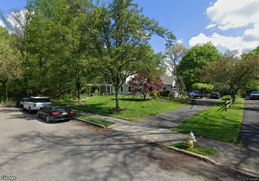
757 Paddock Path Moorestown, NJ 08057
Estimated Value: $1,093,930 - $1,269,000
Studio
--
Bath
3,225
Sq Ft
$363/Sq Ft
Est. Value
About This Home
This home is located at 757 Paddock Path, Moorestown, NJ 08057 and is currently estimated at $1,170,977, approximately $363 per square foot. 757 Paddock Path is a home located in Burlington County with nearby schools including George C. Baker Elementary School, Moorestown Upper Elementary School, and William Allen Middle School.
Ownership History
Date
Name
Owned For
Owner Type
Purchase Details
Closed on
Apr 16, 2003
Sold by
Mullin James V and Andreola Kathy A
Bought by
Mullin James and Mullin Kathy A
Current Estimated Value
Home Financials for this Owner
Home Financials are based on the most recent Mortgage that was taken out on this home.
Original Mortgage
$237,000
Interest Rate
4.96%
Mortgage Type
Purchase Money Mortgage
Create a Home Valuation Report for This Property
The Home Valuation Report is an in-depth analysis detailing your home's value as well as a comparison with similar homes in the area
Home Values in the Area
Average Home Value in this Area
Purchase History
| Date | Buyer | Sale Price | Title Company |
|---|---|---|---|
| Mullin James | -- | Chicago Title Insurance Co |
Source: Public Records
Mortgage History
| Date | Status | Borrower | Loan Amount |
|---|---|---|---|
| Closed | Mullin James | $237,000 |
Source: Public Records
Tax History
| Year | Tax Paid | Tax Assessment Tax Assessment Total Assessment is a certain percentage of the fair market value that is determined by local assessors to be the total taxable value of land and additions on the property. | Land | Improvement |
|---|---|---|---|---|
| 2025 | $19,697 | $694,300 | $301,100 | $393,200 |
| 2024 | $19,100 | $694,300 | $301,100 | $393,200 |
| 2023 | $19,100 | $694,300 | $301,100 | $393,200 |
| 2022 | $18,906 | $694,300 | $301,100 | $393,200 |
| 2021 | $18,656 | $694,300 | $301,100 | $393,200 |
| 2020 | $18,538 | $694,300 | $301,100 | $393,200 |
| 2019 | $18,211 | $694,300 | $301,100 | $393,200 |
| 2018 | $17,719 | $694,300 | $301,100 | $393,200 |
| 2017 | $17,573 | $682,700 | $301,100 | $381,600 |
| 2016 | $17,511 | $682,700 | $301,100 | $381,600 |
| 2015 | $17,300 | $682,700 | $301,100 | $381,600 |
| 2014 | $16,426 | $682,700 | $301,100 | $381,600 |
Source: Public Records
Map
Nearby Homes
- 744 Signal Light Rd
- 628 Windsock Way
- 863 Golf View Rd
- 437 Windrow Clusters Dr
- 205 E Central Ave
- 308 Elm St
- 347 Tom Brown Rd
- 451 E 2nd St
- 49 Brooks Rd
- 337 E 2nd St
- 343 Tom Brown Rd
- 325 E 2nd St
- 700 Lippincott Ave
- 119 Linda Ave
- 514 E Main St
- 4327 Bridgeboro Rd
- 133 Plum St Unit 6
- 526 E Main St
- 635 E Main St Unit 14
- 39 Bramley Rd
- 753 Paddock Path
- 3 Shelter Rock Place
- 756 Paddock Path
- 2 Shelter Rock Place
- 749 Paddock Path
- 4 Shelter Rock Place
- 752 Paddock Path
- 4 Split Rock Place
- 745 Paddock Path
- 1 Shelter Rock Place
- 3 Split Rock Place
- 753 Stonehouse Rd
- 748 Paddock Path
- 5 Shelter Rock Place
- 5 Split Rock Place
- 749 Stonehouse Rd
- 744 Paddock Path
- 2 Split Rock Place
- 539 Sentinel Rd
- 745 Stonehouse Rd