Estimated Value: $304,000 - $326,000
--
Bed
2
Baths
1,144
Sq Ft
$273/Sq Ft
Est. Value
About This Home
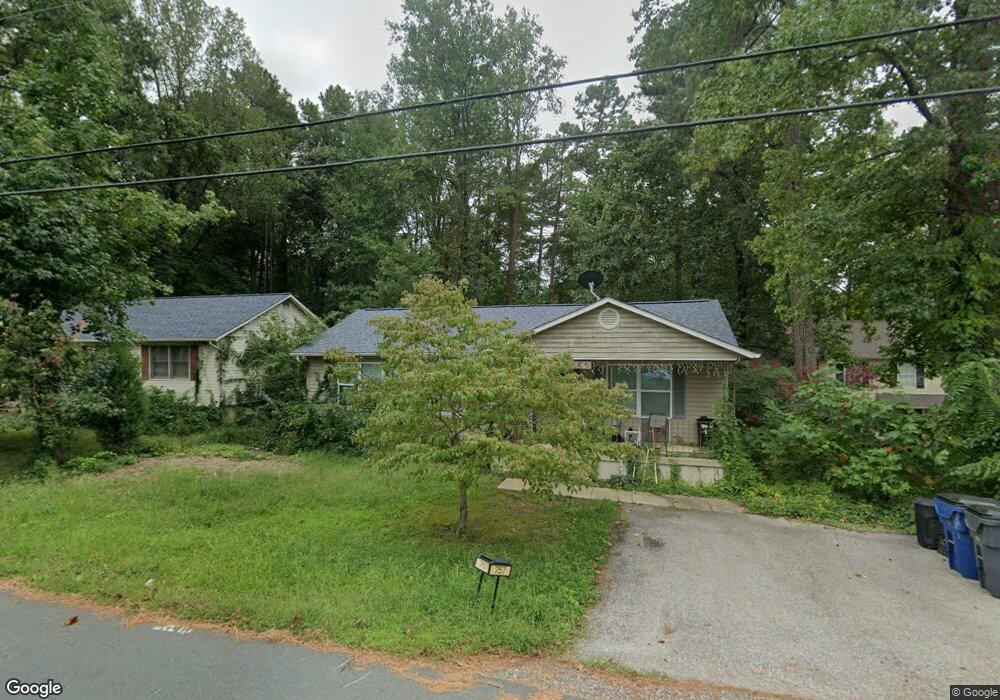
This home is located at 757 Rattlesnake Rd, Lusby, MD 20657 and is currently estimated at $312,648, approximately $273 per square foot. 757 Rattlesnake Rd is a home located in Calvert County with nearby schools including Patuxent Appeal Elementary Campus, Southern Middle School, and Patuxent High School.
Ownership History
Date
Name
Owned For
Owner Type
Purchase Details
Closed on
Feb 28, 1995
Sold by
Miller & Sons Inc H W
Bought by
Quinn Michael B
Current Estimated Value
Home Financials for this Owner
Home Financials are based on the most recent Mortgage that was taken out on this home.
Original Mortgage
$98,634
Interest Rate
9.17%
Purchase Details
Closed on
Dec 27, 1991
Sold by
Lowe Norman F and Lowe Mary K
Bought by
H W Miller & Sons Inc
Create a Home Valuation Report for This Property
The Home Valuation Report is an in-depth analysis detailing your home's value as well as a comparison with similar homes in the area
Home Values in the Area
Average Home Value in this Area
Purchase History
| Date | Buyer | Sale Price | Title Company |
|---|---|---|---|
| Quinn Michael B | $96,700 | -- | |
| H W Miller & Sons Inc | $6,500 | -- |
Source: Public Records
Mortgage History
| Date | Status | Borrower | Loan Amount |
|---|---|---|---|
| Closed | Quinn Michael B | $98,634 |
Source: Public Records
Tax History Compared to Growth
Tax History
| Year | Tax Paid | Tax Assessment Tax Assessment Total Assessment is a certain percentage of the fair market value that is determined by local assessors to be the total taxable value of land and additions on the property. | Land | Improvement |
|---|---|---|---|---|
| 2025 | $2,720 | $230,067 | $0 | $0 |
| 2024 | $2,720 | $212,033 | $0 | $0 |
| 2023 | $2,170 | $194,000 | $55,200 | $138,800 |
| 2022 | $2,373 | $187,400 | $0 | $0 |
| 2021 | $2,239 | $180,800 | $0 | $0 |
| 2020 | $2,239 | $174,200 | $55,200 | $119,000 |
| 2019 | $609 | $171,067 | $0 | $0 |
| 2018 | $567 | $167,933 | $0 | $0 |
| 2017 | $2,129 | $164,800 | $0 | $0 |
| 2016 | -- | $164,800 | $0 | $0 |
| 2015 | $2,374 | $164,800 | $0 | $0 |
| 2014 | $2,374 | $172,600 | $0 | $0 |
Source: Public Records
Map
Nearby Homes
- 11636 Cowpoke Cir
- 11543 Wolf Howl Ln
- 12115 Long Wolf Ln
- 735 Lazy River Rd
- 11540 Senora Ln
- 11561 Senora Ln
- 11525 Senora Ln
- 12030 Little Cove Point Rd
- 646 White Rock Rd
- 916 Crystal Rock Rd
- 11428 Redlands Rd
- 731 Bald Eagle Ln
- 727 Bald Eagle Ln
- 2235 Brians Way
- 12284 Bandera Ln
- 11609 Deadwood Dr
- 11616 Deadwood Dr
- 630 Palo Alto Ct
- 650 Silver Rock Rd
- 12407 Tahoe Ct
- 761 Rattlesnake Rd
- 753 Rattlesnake Rd
- 765 Rattlesnake Rd
- 749 Rattlesnake Rd
- 751 Rattlesnake Rd
- 762 Texola Ct
- 760 Rattlesnake Rd
- 11680 Cowpoke Cir
- 11684 Cowpoke Cir
- 769 Rattlesnake Rd
- 745 Rattlesnake Rd
- 758 Texola Ct
- 748 Rattlesnake Rd
- 11688 Cowpoke Cir
- 11676 Cowpoke Cir
- 11616 Ropeknot Rd
- 11569 Bootstrap Ct
- 11617 Ropeknot Rd
- 11569 Bootstrap Trail
- 741 Rattlesnake Rd