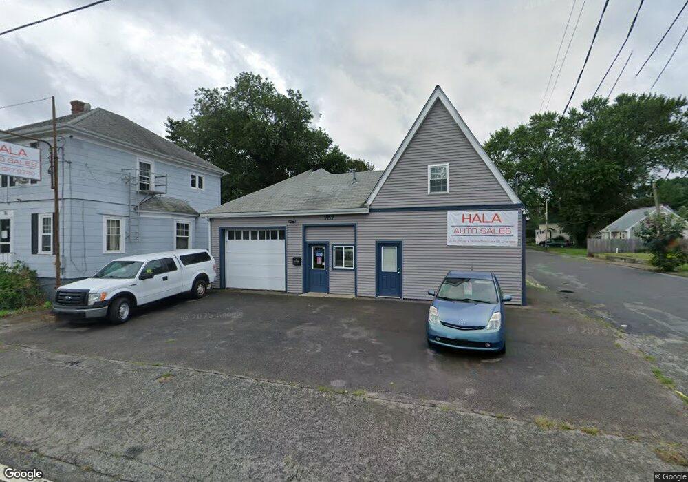
757 State Rd Westport, MA 02790
North Westport NeighborhoodEstimated Value: $294,936
3
Beds
1
Bath
4,204
Sq Ft
$70/Sq Ft
Est. Value
About This Home
This home is located at 757 State Rd, Westport, MA 02790 and is currently estimated at $294,936, approximately $70 per square foot. 757 State Rd is a home located in Bristol County with nearby schools including Alice A. Macomber Primary School, Westport Elementary School, and Westport Middle-High School.
Ownership History
Date
Name
Owned For
Owner Type
Purchase Details
Closed on
Aug 31, 2010
Sold by
Dossantos Marcia Ducharme
Bought by
Desmarais Denis and Desmarais Laurie A
Current Estimated Value
Purchase Details
Closed on
Nov 9, 2009
Sold by
Demelo Valerio P
Bought by
Dosantos Marcia Ducharme
Create a Home Valuation Report for This Property
The Home Valuation Report is an in-depth analysis detailing your home's value as well as a comparison with similar homes in the area
Home Values in the Area
Average Home Value in this Area
Purchase History
| Date | Buyer | Sale Price | Title Company |
|---|---|---|---|
| Desmarais Denis | $125,000 | -- | |
| Dosantos Marcia Ducharme | -- | -- |
Source: Public Records
Mortgage History
| Date | Status | Borrower | Loan Amount |
|---|---|---|---|
| Open | Dosantos Marcia Ducharme | $195,000 |
Source: Public Records
Tax History Compared to Growth
Tax History
| Year | Tax Paid | Tax Assessment Tax Assessment Total Assessment is a certain percentage of the fair market value that is determined by local assessors to be the total taxable value of land and additions on the property. | Land | Improvement |
|---|---|---|---|---|
| 2025 | $3,122 | $419,000 | $212,000 | $207,000 |
| 2024 | $3,087 | $399,300 | $192,300 | $207,000 |
| 2023 | $3,134 | $384,100 | $180,000 | $204,100 |
| 2022 | $3,174 | $374,300 | $180,000 | $194,300 |
| 2021 | $3,464 | $331,400 | $163,700 | $167,700 |
| 2020 | $411 | $331,400 | $163,700 | $167,700 |
| 2019 | $2,785 | $336,800 | $163,700 | $173,100 |
| 2018 | $3,050 | $313,900 | $157,200 | $156,700 |
| 2017 | $2,521 | $316,300 | $157,200 | $159,100 |
| 2016 | $2,502 | $316,300 | $157,200 | $159,100 |
| 2015 | $2,527 | $318,700 | $157,200 | $161,500 |
Source: Public Records
Map
Nearby Homes
- 116 Gifford Rd
- 9 Kyle Jacob Rd
- 15 S Breault St
- 0 Van Buren St
- 20 Faulkner St
- 16 S Berryman St
- 565 Highland Ave
- 100 D Dr
- 3 Diane Way
- 27 Dias Ave
- 1276 Old Fall River Rd
- 96 Forge Rd
- 19 Charles Joseph Dr
- 29 Union Ave
- 2 Donna Marie Dr
- 56 Lakeside Ave
- 55 Lakeside Ave
- 9 Register Ave
- 818 Reed Rd
- 735 Reed Rd
- 761 State Rd
- 755 State Rd
- 755 State Rd Unit A
- 9 Greenwood Ave
- 10 Arlington Ave
- 9 Arlington Ave
- 16 Arlington Ave
- 13 Arlington Ave
- 15 Greenwood Ave
- 0 Greenwood Ave
- 0 State Rd (Route 6) Unit 70633240
- 0 State Rd (Route 6) Unit 70780137
- 8 Greenwood Ave
- 2 Greenwood Ave
- 749 State Rd
- 760 State Rd
- 762 State Rd
- 7 Oakland Ave
- 756 State Rd Unit 758
- 8 Oakland Ave