Estimated Value: $143,000 - $147,242
2
Beds
1
Bath
1,468
Sq Ft
$99/Sq Ft
Est. Value
About This Home
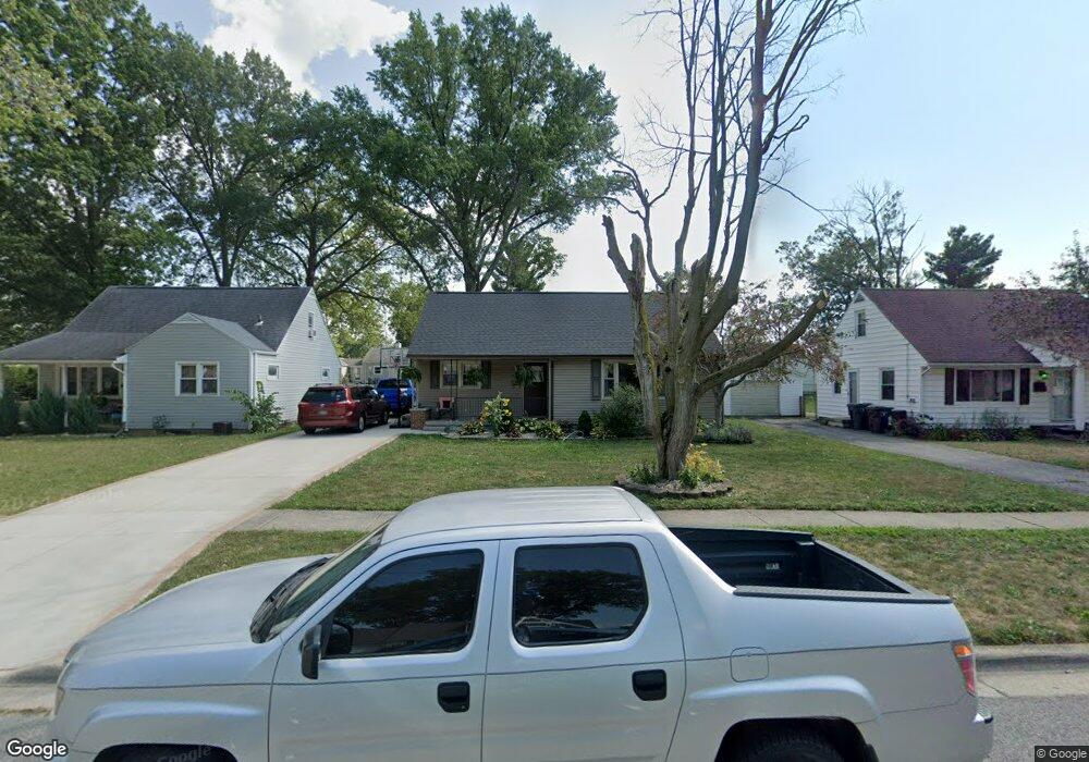
This home is located at 757 W Oconnor Ave, Lima, OH 45801 and is currently estimated at $144,811, approximately $98 per square foot. 757 W Oconnor Ave is a home located in Allen County with nearby schools including Independence Elementary School, Lima North Middle School, and Lima West Middle School.
Ownership History
Date
Name
Owned For
Owner Type
Purchase Details
Closed on
Jun 28, 2005
Sold by
Gialanella Nancy M
Bought by
Shoup Derrick C and Shoup Carrie M
Current Estimated Value
Home Financials for this Owner
Home Financials are based on the most recent Mortgage that was taken out on this home.
Original Mortgage
$77,700
Outstanding Balance
$41,083
Interest Rate
5.86%
Mortgage Type
Future Advance Clause Open End Mortgage
Estimated Equity
$103,728
Purchase Details
Closed on
Jul 13, 1989
Bought by
Gialanella Nancy M
Create a Home Valuation Report for This Property
The Home Valuation Report is an in-depth analysis detailing your home's value as well as a comparison with similar homes in the area
Home Values in the Area
Average Home Value in this Area
Purchase History
| Date | Buyer | Sale Price | Title Company |
|---|---|---|---|
| Shoup Derrick C | $80,000 | None Available | |
| Gialanella Nancy M | $39,900 | -- |
Source: Public Records
Mortgage History
| Date | Status | Borrower | Loan Amount |
|---|---|---|---|
| Open | Shoup Derrick C | $77,700 |
Source: Public Records
Tax History Compared to Growth
Tax History
| Year | Tax Paid | Tax Assessment Tax Assessment Total Assessment is a certain percentage of the fair market value that is determined by local assessors to be the total taxable value of land and additions on the property. | Land | Improvement |
|---|---|---|---|---|
| 2024 | $1,379 | $38,260 | $4,620 | $33,640 |
| 2023 | $1,088 | $25,840 | $3,120 | $22,720 |
| 2022 | $1,093 | $25,840 | $3,120 | $22,720 |
| 2021 | $1,156 | $25,840 | $3,120 | $22,720 |
| 2020 | $1,179 | $23,420 | $3,010 | $20,410 |
| 2019 | $1,179 | $23,420 | $3,010 | $20,410 |
| 2018 | $1,123 | $23,420 | $3,010 | $20,410 |
| 2017 | $1,087 | $21,390 | $3,010 | $18,380 |
| 2016 | $1,096 | $21,390 | $3,010 | $18,380 |
| 2015 | $1,223 | $21,390 | $3,010 | $18,380 |
| 2014 | $1,223 | $23,740 | $2,910 | $20,830 |
| 2013 | $1,190 | $23,740 | $2,910 | $20,830 |
Source: Public Records
Map
Nearby Homes
- 812 W Ashton Ave
- 645 W O'Connor Ave
- 608 W O'Connor Ave
- 610 W Robb Ave
- 1004 Sherman Ave
- 765 Ewing Ave
- 676 Cortlandt Ave
- 765 W Lane Ave
- 1720 Brookwood Dr
- 0 Sherman Ave
- 607 W Grand Ave
- 340 W Robb Ave
- 638 Hazel Ave
- 631 Hazel Ave
- 1776 Virginia Ave
- 416 Hazel Ave
- 400 W Northern Ave
- 207 W Lane Ave
- 1023 Leland Ave
- 722 N Elizabeth St