Estimated Value: $244,000 - $525,000
4
Beds
2
Baths
2,451
Sq Ft
$140/Sq Ft
Est. Value
About This Home
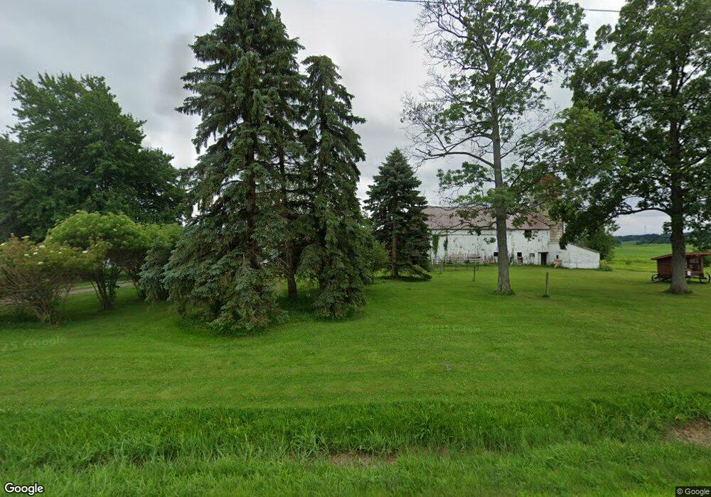
This home is located at 7570 State Route 20a, Perry, NY 14530 and is currently estimated at $343,135, approximately $139 per square foot. 7570 State Route 20a is a home located in Wyoming County with nearby schools including Perry Elementary/Junior High School, Perry Central High School, and Gilead Christian School.
Ownership History
Date
Name
Owned For
Owner Type
Purchase Details
Closed on
Nov 18, 2011
Sold by
Hirt Michael Eugene
Bought by
Meyer Karl
Current Estimated Value
Home Financials for this Owner
Home Financials are based on the most recent Mortgage that was taken out on this home.
Original Mortgage
$97,465
Outstanding Balance
$66,283
Interest Rate
4.5%
Mortgage Type
FHA
Estimated Equity
$276,852
Purchase Details
Closed on
Oct 16, 2008
Sold by
Walnut Grove Properties, Llc
Bought by
Hirt Michael Eugene Rachel Ann
Purchase Details
Closed on
Aug 10, 2007
Sold by
Bowman Amy Mattoon
Bought by
Walnut Grove Properties L Lc
Create a Home Valuation Report for This Property
The Home Valuation Report is an in-depth analysis detailing your home's value as well as a comparison with similar homes in the area
Home Values in the Area
Average Home Value in this Area
Purchase History
| Date | Buyer | Sale Price | Title Company |
|---|---|---|---|
| Meyer Karl | $100,000 | Robert Presutti | |
| Hirt Michael Eugene Rachel Ann | $90,000 | Theron E Howard | |
| Walnut Grove Properties L Lc | $302,500 | Jeffrey E Erickson |
Source: Public Records
Mortgage History
| Date | Status | Borrower | Loan Amount |
|---|---|---|---|
| Open | Meyer Karl | $97,465 |
Source: Public Records
Tax History
| Year | Tax Paid | Tax Assessment Tax Assessment Total Assessment is a certain percentage of the fair market value that is determined by local assessors to be the total taxable value of land and additions on the property. | Land | Improvement |
|---|---|---|---|---|
| 2024 | $6,435 | $265,000 | $38,200 | $226,800 |
| 2023 | $56 | $164,900 | $22,400 | $142,500 |
| 2022 | $4,668 | $164,900 | $22,400 | $142,500 |
| 2021 | $4,717 | $164,900 | $22,400 | $142,500 |
| 2020 | $4,090 | $164,900 | $22,400 | $142,500 |
| 2019 | $4,106 | $164,900 | $22,400 | $142,500 |
| 2018 | $4,106 | $164,900 | $22,400 | $142,500 |
| 2017 | $3,099 | $125,100 | $22,400 | $102,700 |
| 2016 | $3,000 | $125,100 | $22,400 | $102,700 |
| 2015 | -- | $105,000 | $14,000 | $91,000 |
| 2014 | -- | $105,000 | $14,000 | $91,000 |
Source: Public Records
Map
Nearby Homes
- 7586 State Route 20a
- 10 Simmons Rd
- 7094 State Route 20a
- 5 Genesee St E
- 26 Olin Ave
- 9 Hope St
- 30 Elm St
- 61 Water St
- 54 Gardeau St
- 27 N Center St
- 6820 Westview Dr
- 30 Lake St
- 3261 Bacon Rd
- 1731 State Route 246
- 7048 Safford Ave
- 0 Janes Rd
- 6139 State Route 20a E
- 5502 Mount Morris Rd
- 5502 Mount Morris Rd Lot #1 Rd
- 5279 Mount Morris Rd
- 7543 State Route 20a
- 7595 State Route 20a
- 7490 State Route 20a
- 7460 State Route 20a
- 7676 State Route 20a
- 2799 Simmons Rd
- 2804 Simmons Rd
- 7408 State Route 20a
- 2689 Simmons Rd
- 7406 State Route 20a
- 7390 State Route 20a
- 2656 Simmons Rd
- 7374 State Route 20a
- 2572 Simmons Rd
- 2896 Simmons Rd
- 7348 State Route 20a
- 7406 Eaton Rd
- 2 Birchwood
- 2462 Simmons Rd
- 7820 State Route 20a
Your Personal Tour Guide
Ask me questions while you tour the home.