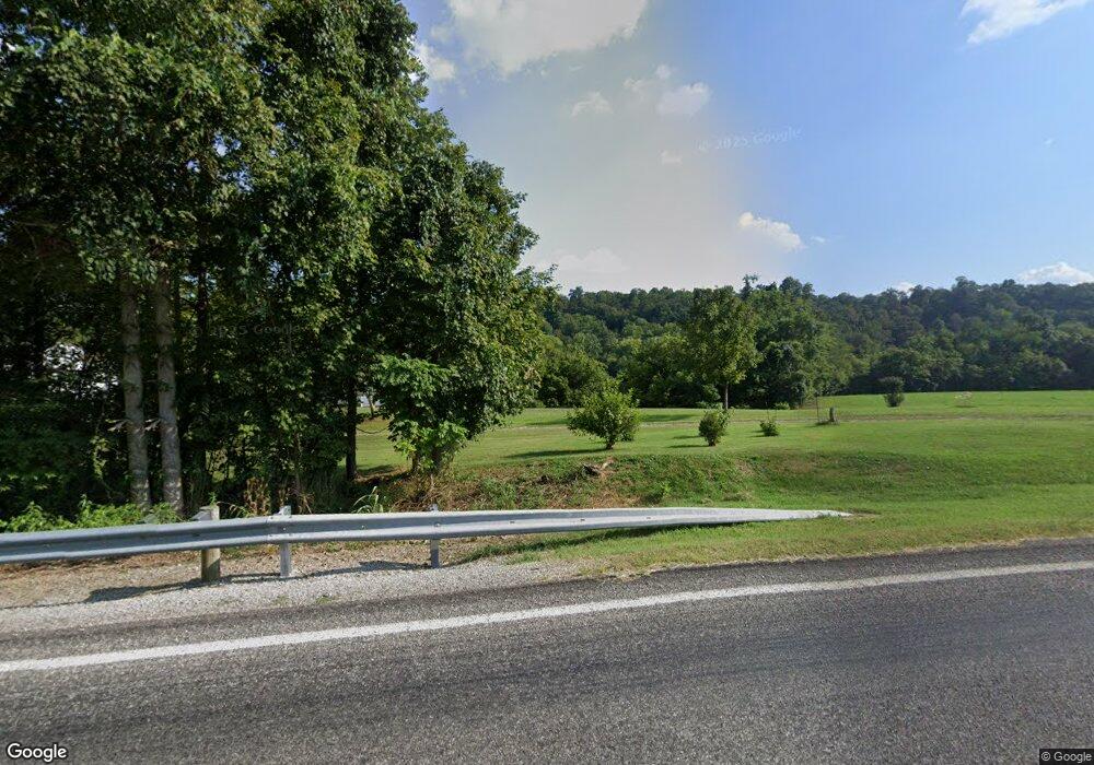
7570 State Route 26 Marietta, OH 45750
Estimated Value: $87,000 - $253,000
2
Beds
2
Baths
1,032
Sq Ft
$175/Sq Ft
Est. Value
About This Home
This home is located at 7570 State Route 26, Marietta, OH 45750 and is currently estimated at $180,667, approximately $175 per square foot. 7570 State Route 26 is a home located in Washington County.
Ownership History
Date
Name
Owned For
Owner Type
Purchase Details
Closed on
Apr 10, 2025
Sold by
Hill James L
Bought by
Hill James L and Hill Rita J
Current Estimated Value
Purchase Details
Closed on
Feb 12, 2019
Sold by
Hill James L
Bought by
Burton Adam P and Burton Racheal
Home Financials for this Owner
Home Financials are based on the most recent Mortgage that was taken out on this home.
Original Mortgage
$186,600
Interest Rate
4.5%
Mortgage Type
VA
Purchase Details
Closed on
Sep 13, 2017
Sold by
Estate Of Beulah Mae Patterson
Bought by
Hill James L
Purchase Details
Closed on
Aug 21, 2009
Sold by
Adams James C
Bought by
Adams Darin J
Purchase Details
Closed on
Sep 5, 2008
Sold by
Patterson Beulah M
Bought by
Adams James
Purchase Details
Closed on
Aug 31, 1988
Bought by
Patterson Beulah Mae
Create a Home Valuation Report for This Property
The Home Valuation Report is an in-depth analysis detailing your home's value as well as a comparison with similar homes in the area
Home Values in the Area
Average Home Value in this Area
Purchase History
| Date | Buyer | Sale Price | Title Company |
|---|---|---|---|
| Hill James L | -- | None Listed On Document | |
| Hill James L | -- | None Listed On Document | |
| Burton Adam P | $186,600 | None Available | |
| Hill James L | -- | None Available | |
| Adams Darin J | -- | Attorney | |
| Adams James | $1,600 | Attorney | |
| Patterson Beulah Mae | -- | -- |
Source: Public Records
Mortgage History
| Date | Status | Borrower | Loan Amount |
|---|---|---|---|
| Previous Owner | Burton Adam P | $186,600 |
Source: Public Records
Tax History Compared to Growth
Tax History
| Year | Tax Paid | Tax Assessment Tax Assessment Total Assessment is a certain percentage of the fair market value that is determined by local assessors to be the total taxable value of land and additions on the property. | Land | Improvement |
|---|---|---|---|---|
| 2024 | $191 | $6,440 | $5,500 | $940 |
| 2023 | $191 | $6,440 | $5,500 | $940 |
| 2022 | $190 | $6,440 | $5,500 | $940 |
| 2021 | $151 | $4,920 | $4,050 | $870 |
| 2020 | $160 | $4,920 | $4,050 | $870 |
| 2019 | $160 | $4,920 | $4,050 | $870 |
| 2018 | $1,324 | $39,700 | $7,790 | $31,910 |
| 2017 | $1,271 | $38,210 | $6,300 | $31,910 |
| 2016 | $1,852 | $38,210 | $6,300 | $31,910 |
| 2015 | $1,038 | $40,330 | $5,720 | $34,610 |
| 2014 | $1,960 | $40,330 | $5,720 | $34,610 |
| 2013 | $522 | $40,330 | $5,720 | $34,610 |
Source: Public Records
Map
Nearby Homes
- Lot 1 Brooks Rd
- Tract 19 Zion Ridge Rd
- Tract 19 Zion Ridge Rd
- Lot 3 Brooks Rd
- 0 Cow Run Rd Unit 224036842
- 0 Cow Run Rd Unit 5078069
- 0 Moss Run Rd
- 4 Moss Run Rd
- 1788 Rosenbush Rd
- 3205 Ohio 26
- 1320 Caywood Rd
- 0 Newells Run Rd
- Lot 4 Moss Run Rd
- 0 Stanleyville Rd
- 106 Briargate Dr
- 1585 County Road 9
- 149 Rauch Dr
- 470 & 480 County House Ln
- 470 County House Ln
- 145 Cornerstone Dr
- 7446 State Route 26
- 7415 State Route 26
- 7250 State Route 26
- 80 Little Eight Mile Rd
- 230 Laurel Hill Rd
- 8155 State Route 26
- 6895 State Route 26
- 8200 State Route 26
- 1835 Zion Ridge Rd
- 215 Laurel Hill Rd
- 75 Laurel Hill Rd
- 955 Zion Ridge Rd
- 1445 Zion Ridge Rd
- 57 Star Rd
- 8475 State Route 26
- 1890 Zion Ridge Rd
- 66 Star Rd
- 360 Cow Run Rd
- 143 Star Rd
- 100 Tittle Rd
