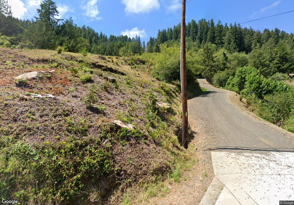
7571 N Fork Siuslaw Rd Florence, OR 97439
Estimated Value: $551,000 - $705,000
3
Beds
2
Baths
1,979
Sq Ft
$323/Sq Ft
Est. Value
About This Home
This home is located at 7571 N Fork Siuslaw Rd, Florence, OR 97439 and is currently estimated at $638,535, approximately $322 per square foot. 7571 N Fork Siuslaw Rd is a home with nearby schools including Siuslaw Elementary School, Siuslaw Middle School, and Siuslaw High School.
Ownership History
Date
Name
Owned For
Owner Type
Purchase Details
Closed on
Jul 30, 2024
Sold by
Coontz Brian L
Bought by
Blc Separate Property Trust and Coontz
Current Estimated Value
Purchase Details
Closed on
Aug 7, 2014
Sold by
Coonts Brian L and Coontz Cathleen
Bought by
Coontz Brian L
Purchase Details
Closed on
Mar 20, 2012
Sold by
Earle Allen E
Bought by
Coontz Brian L and Coontz Cathleen
Purchase Details
Closed on
May 12, 2005
Sold by
Earle Allen E and Earle Patricia M
Bought by
Earle Patricia M
Create a Home Valuation Report for This Property
The Home Valuation Report is an in-depth analysis detailing your home's value as well as a comparison with similar homes in the area
Home Values in the Area
Average Home Value in this Area
Purchase History
| Date | Buyer | Sale Price | Title Company |
|---|---|---|---|
| Blc Separate Property Trust | -- | None Listed On Document | |
| Coontz Brian L | -- | None Available | |
| Coontz Brian L | $182,500 | Cascade Title Company | |
| Earle Patricia M | -- | Fatco |
Source: Public Records
Tax History Compared to Growth
Tax History
| Year | Tax Paid | Tax Assessment Tax Assessment Total Assessment is a certain percentage of the fair market value that is determined by local assessors to be the total taxable value of land and additions on the property. | Land | Improvement |
|---|---|---|---|---|
| 2025 | $2,875 | $259,381 | -- | -- |
| 2024 | $2,783 | $251,827 | -- | -- |
| 2023 | $2,783 | $244,493 | $0 | $0 |
| 2022 | $2,593 | $237,372 | $0 | $0 |
| 2021 | $2,522 | $230,459 | $0 | $0 |
| 2020 | $2,132 | $193,981 | $0 | $0 |
| 2019 | $1,467 | $133,041 | $0 | $0 |
| 2018 | $425 | $40,144 | $0 | $0 |
| 2017 | $409 | $40,144 | $0 | $0 |
| 2016 | $398 | $38,975 | $0 | $0 |
| 2015 | $391 | $37,840 | $0 | $0 |
| 2014 | $234 | $21,527 | $0 | $0 |
Source: Public Records
Map
Nearby Homes
- 6651 Twin Fawn Dr
- 88616 Ocean View Ln
- 7691 Bernhardt Heights Rd
- 6027 View Loop
- 0 View Loop Unit 3 526137347
- 0 Collard Loop Unit 534944077
- 5938 View Loop
- 0 Collard Lake Rd Unit 598901752
- 89349 Rustic Ln
- 88921 Bayberry Ln
- 0 Hwy 126 Unit 600 793013519
- 5603 Friendly Acres Rd
- 9247 Highway 126
- 5590 S Shore Dr
- 5546 S Shore Dr
- 89550 Dick Way
- 0 Nordahl Rd Unit 728106937
- 89911 Ben Bunch Rd
- 0 Levage Dr Unit 5600 24415074
- 0 Munsel Lake Rd Unit 23145536
