758 Emerson Rd Catawissa, MO 63015
Estimated Value: $294,039 - $346,000
3
Beds
1
Bath
1,673
Sq Ft
$195/Sq Ft
Est. Value
About This Home
This home is located at 758 Emerson Rd, Catawissa, MO 63015 and is currently estimated at $326,346, approximately $195 per square foot. 758 Emerson Rd is a home located in Franklin County with nearby schools including Pacific High School.
Ownership History
Date
Name
Owned For
Owner Type
Purchase Details
Closed on
Jan 21, 2022
Sold by
Rau Lorraine M
Bought by
Campbell Pamela A
Current Estimated Value
Purchase Details
Closed on
Jun 9, 2010
Sold by
Rau Lorraine M and Nathe Lynn C
Bought by
Rau Lorraine M
Purchase Details
Closed on
Dec 21, 2007
Sold by
Rau Lorraine M
Bought by
Rau Lorraine M and Nathe Lynn C
Home Financials for this Owner
Home Financials are based on the most recent Mortgage that was taken out on this home.
Original Mortgage
$60,000
Interest Rate
6.23%
Mortgage Type
New Conventional
Purchase Details
Closed on
Jun 1, 2006
Sold by
Nathe Douglas A and Nathe Lynn C
Bought by
Lober Eric M and Lober Kathryn J
Home Financials for this Owner
Home Financials are based on the most recent Mortgage that was taken out on this home.
Original Mortgage
$145,500
Interest Rate
6.5%
Mortgage Type
FHA
Create a Home Valuation Report for This Property
The Home Valuation Report is an in-depth analysis detailing your home's value as well as a comparison with similar homes in the area
Home Values in the Area
Average Home Value in this Area
Purchase History
| Date | Buyer | Sale Price | Title Company |
|---|---|---|---|
| Campbell Pamela A | -- | None Listed On Document | |
| Rau Lorraine M | -- | None Available | |
| Rau Lorraine M | -- | None Available | |
| Lober Eric M | -- | None Available |
Source: Public Records
Mortgage History
| Date | Status | Borrower | Loan Amount |
|---|---|---|---|
| Previous Owner | Rau Lorraine M | $60,000 | |
| Previous Owner | Lober Eric M | $145,500 |
Source: Public Records
Tax History Compared to Growth
Tax History
| Year | Tax Paid | Tax Assessment Tax Assessment Total Assessment is a certain percentage of the fair market value that is determined by local assessors to be the total taxable value of land and additions on the property. | Land | Improvement |
|---|---|---|---|---|
| 2025 | $1,388 | $19,417 | $0 | $0 |
| 2024 | $1,388 | $19,433 | $0 | $0 |
| 2023 | $1,389 | $19,433 | $0 | $0 |
| 2022 | $1,164 | $17,818 | $0 | $0 |
| 2021 | $1,158 | $17,818 | $0 | $0 |
| 2020 | $1,043 | $16,084 | $0 | $0 |
| 2019 | $1,041 | $16,084 | $0 | $0 |
| 2018 | $987 | $14,947 | $0 | $0 |
| 2017 | $980 | $14,947 | $0 | $0 |
| 2016 | $920 | $13,878 | $0 | $0 |
| 2015 | $893 | $13,878 | $0 | $0 |
| 2014 | $900 | $14,222 | $0 | $0 |
Source: Public Records
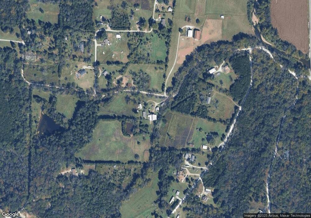
Map
Nearby Homes
- 000 Forest Rd
- 5563 E Anding Dr
- 10723 Calvey Hills Rd
- 10725 Calvey Hills Rd
- 8716 Highway Hh
- 0 Stone Ridge Rd Unit MAR25025168
- 9123 Woodland Trail Dr
- 0 Watts Ridge Dr
- 7033 Hardship Ln
- Oak Hill Dr
- 3846 Oak Hill Rd
- 3830 Redwood Ln
- 10262 Hawks Rd
- 3956 & 3960 Redbud Dr
- 9916 Hawks Point Dr
- 7033 Meadow View Dr
- 0 Red Bud Unit MIS25053128
- 3642 Evergreen Dr
- 403 Lakeview Dr
- 407 Lakeview Dr
- 758 Emerson Rd
- 5448 E Anding Dr
- 5428 E Anding Dr
- 5450 E Anding Dr
- 5452 E Anding Dr
- 5253 Lyndell Dr
- 5256 Lyndell Dr
- 5458 E Anding Dr
- 5420 E Anding Dr
- 5243 Lyndell Dr
- 5207 Miller Ln
- 5212 Miller Ln
- 5343 W Anding Dr
- 5244 Lyndell Dr
- 5453 E Anding Dr
- 5236 Miller Ln
- 5203 Miller Ln
- 5264 Besch Dr
- 0 W Anding 6 Acres Unit 18001804
- 0 W Anding 6 Acres + - Unit 14005858