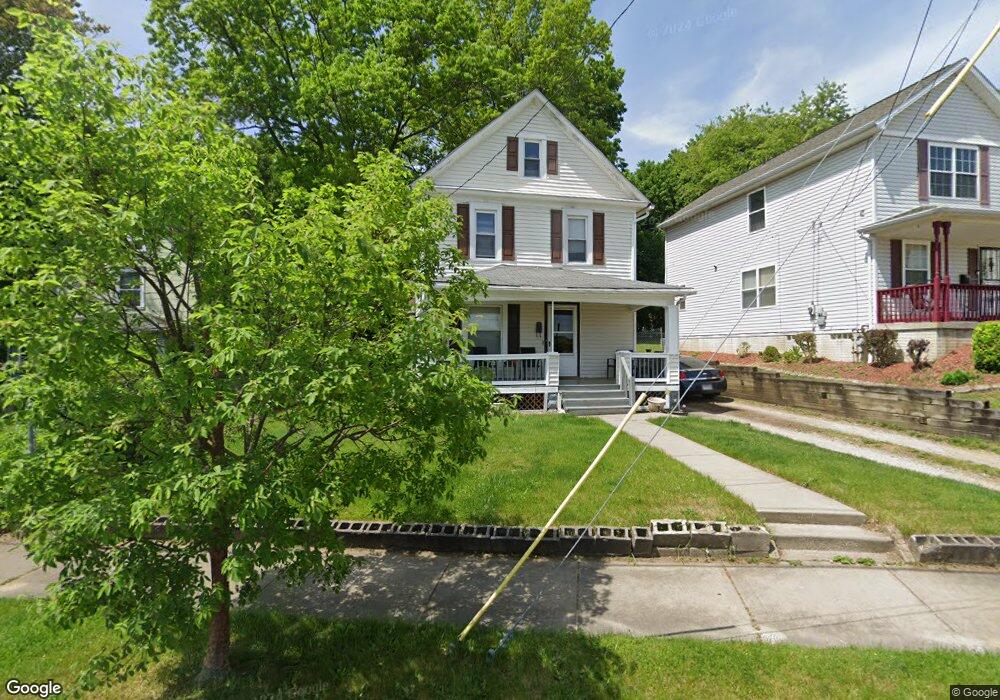
758 Raymond St Akron, OH 44307
Sherbondy Hill NeighborhoodEstimated Value: $67,000 - $97,000
3
Beds
1
Bath
1,514
Sq Ft
$50/Sq Ft
Est. Value
About This Home
This home is located at 758 Raymond St, Akron, OH 44307 and is currently estimated at $75,245, approximately $49 per square foot. 758 Raymond St is a home located in Summit County with nearby schools including St. Bernard-St. Mary Elementary School.
Ownership History
Date
Name
Owned For
Owner Type
Purchase Details
Closed on
Jul 18, 2011
Sold by
Springleaf Financial Services Of Ohio In
Bought by
Zip City Properties Llc
Current Estimated Value
Purchase Details
Closed on
Jun 15, 2011
Sold by
Turneur Natalia M and Turneur Natalia Mae
Bought by
American General Financial Services Inc
Create a Home Valuation Report for This Property
The Home Valuation Report is an in-depth analysis detailing your home's value as well as a comparison with similar homes in the area
Home Values in the Area
Average Home Value in this Area
Purchase History
| Date | Buyer | Sale Price | Title Company |
|---|---|---|---|
| Zip City Properties Llc | $8,000 | Chicago Title Insurance Co | |
| American General Financial Services Inc | $24,000 | Attorney |
Source: Public Records
Tax History
| Year | Tax Paid | Tax Assessment Tax Assessment Total Assessment is a certain percentage of the fair market value that is determined by local assessors to be the total taxable value of land and additions on the property. | Land | Improvement |
|---|---|---|---|---|
| 2024 | $843 | $13,934 | $4,701 | $9,233 |
| 2023 | $843 | $13,934 | $4,701 | $9,233 |
| 2022 | $659 | $8,197 | $2,765 | $5,432 |
| 2021 | $660 | $8,197 | $2,765 | $5,432 |
| 2020 | $651 | $8,200 | $2,770 | $5,430 |
| 2019 | $749 | $8,790 | $3,220 | $5,570 |
| 2018 | $740 | $8,790 | $3,220 | $5,570 |
| 2017 | $761 | $8,790 | $3,220 | $5,570 |
| 2016 | $761 | $8,930 | $3,220 | $5,710 |
| 2015 | $761 | $8,930 | $3,220 | $5,710 |
| 2014 | $755 | $8,930 | $3,220 | $5,710 |
| 2013 | $742 | $8,930 | $3,220 | $5,710 |
Source: Public Records
Map
Nearby Homes
- 817 Raymond St
- 628 Bellevue Ave
- 777 Ruth Ave
- 939 Lane St
- 577 Rhodes Ave
- 994 Moeller Ave
- 1132 Bristol Terrace
- 443 W Thornton St
- 1011 Laurel Ave
- 963 Morningstar Dr
- 492 Douglas St
- 1041 Diagonal Rd
- 776 Krause Ct
- 1021 La Croix Ave
- 985 Diana Ave
- 480 Bell St
- 677 Crossings Ln
- 1225 Belleflower Rd
- 614 East Ave
- 702 W Thornton St
- 760 Raymond St
- 754 Raymond St
- 752 Raymond St
- 745 Mallison Ave
- 741 Mallison Ave
- 740 Raymond St
- 729 Mallison Ave
- 759 Mallison Ave
- 736 Raymond St
- 727 Mallison Ave
- 529 Vernon Odom Blvd
- 732 Raymond St
- 721 Mallison Ave
- 744 Mallison Ave
- 730 Raymond St
- 717 Mallison Ave
- 756 Mallison Ave
- 730 Mallison Ave
- 742 Mallison Ave Unit 744
- 750 Mallison Ave
Your Personal Tour Guide
Ask me questions while you tour the home.