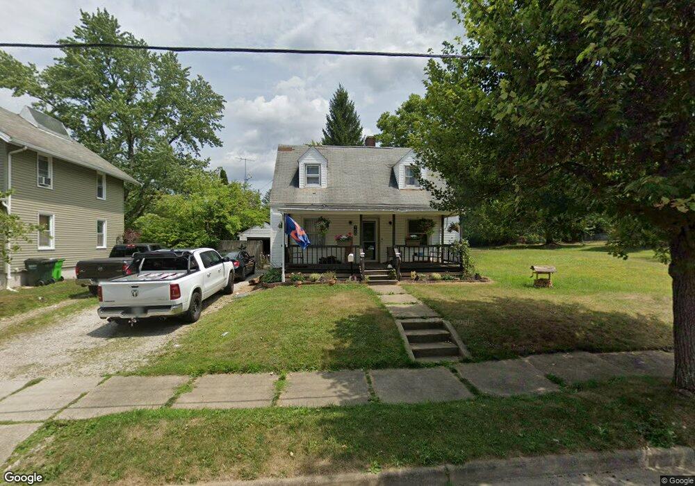
758 S Rockhill Ave Alliance, OH 44601
Estimated Value: $105,000 - $147,000
3
Beds
2
Baths
1,407
Sq Ft
$84/Sq Ft
Est. Value
About This Home
This home is located at 758 S Rockhill Ave, Alliance, OH 44601 and is currently estimated at $117,637, approximately $83 per square foot. 758 S Rockhill Ave is a home located in Stark County with nearby schools including Alliance Early Learning School, Alliance Intermediate School at Northside, and Alliance Middle School.
Ownership History
Date
Name
Owned For
Owner Type
Purchase Details
Closed on
Dec 23, 2004
Sold by
Walker David A and Walker Bonnie L
Bought by
Walker David A and Walker Bonnie L
Current Estimated Value
Home Financials for this Owner
Home Financials are based on the most recent Mortgage that was taken out on this home.
Original Mortgage
$96,000
Interest Rate
4.75%
Mortgage Type
Stand Alone Refi Refinance Of Original Loan
Create a Home Valuation Report for This Property
The Home Valuation Report is an in-depth analysis detailing your home's value as well as a comparison with similar homes in the area
Home Values in the Area
Average Home Value in this Area
Purchase History
| Date | Buyer | Sale Price | Title Company |
|---|---|---|---|
| Walker David A | -- | -- |
Source: Public Records
Mortgage History
| Date | Status | Borrower | Loan Amount |
|---|---|---|---|
| Closed | Walker David A | $96,000 | |
| Closed | Walker David A | $54,000 |
Source: Public Records
Tax History Compared to Growth
Tax History
| Year | Tax Paid | Tax Assessment Tax Assessment Total Assessment is a certain percentage of the fair market value that is determined by local assessors to be the total taxable value of land and additions on the property. | Land | Improvement |
|---|---|---|---|---|
| 2025 | -- | $26,260 | $6,830 | $19,430 |
| 2024 | -- | $26,260 | $6,830 | $19,430 |
| 2023 | $876 | $21,810 | $6,370 | $15,440 |
| 2022 | $882 | $21,810 | $6,370 | $15,440 |
| 2021 | $883 | $21,810 | $6,370 | $15,440 |
| 2020 | $807 | $18,620 | $5,530 | $13,090 |
| 2019 | $796 | $18,630 | $5,530 | $13,100 |
| 2018 | $800 | $18,630 | $5,530 | $13,100 |
| 2017 | $701 | $16,070 | $4,480 | $11,590 |
| 2016 | $692 | $15,720 | $4,480 | $11,240 |
| 2015 | $698 | $15,720 | $4,480 | $11,240 |
| 2014 | $748 | $16,040 | $4,550 | $11,490 |
| 2013 | $373 | $16,040 | $4,550 | $11,490 |
Source: Public Records
Map
Nearby Homes
- 734 Parkway Blvd
- 725 W Summit St
- 645 W Summit St
- 896 Parkway Blvd
- 738 Kingsway St
- 970 Kingsway St
- 140 W Summit St
- 565 W Broadway St
- 1321 Parkway Blvd
- 1038 Fairview Place
- 807 S Union Ave
- 345 W Market St
- 132 S Haines Ave
- 427 S Union Ave
- 163 W Market St
- 329 1/2 W Main St
- 1515 S Rockhill Ave
- 1201 Overlook Dr
- 511 W Ely St
- 884 W College Rd
- 748 S Rockhill Ave
- 688 Mcgrath St
- 736 S Rockhill Ave
- 747 S Rockhill Ave
- 820 S Rockhill Ave
- 670 Mcgrath St
- 689 Mcgrath St
- 767 S Rockhill Ave
- 728 S Rockhill Ave
- 757 S Rockhill Ave
- 681 Mcgrath St
- 805 S Rockhill Ave
- 737 S Rockhill Ave
- 830 S Rockhill Ave
- 661 Mcgrath St
- 825 S Rockhill Ave
- 721 S Rockhill Ave
- 840 S Rockhill Ave
- 650 Mcgrath St
- 688 W Summit St