7580 Wayne Rd Breese, IL 62230
Estimated Value: $158,000 - $361,000
Studio
1
Bath
2,031
Sq Ft
$141/Sq Ft
Est. Value
About This Home
This home is located at 7580 Wayne Rd, Breese, IL 62230 and is currently estimated at $285,708, approximately $140 per square foot. 7580 Wayne Rd is a home located in Clinton County with nearby schools including St Rose Elementary School and Central Community High School.
Ownership History
Date
Name
Owned For
Owner Type
Purchase Details
Closed on
Jan 15, 2010
Sold by
Koerkenmeier Robert L and Koerkenmeier Ruth A
Bought by
Koerkenmeier Daniel G and Koerkenmeier Cheryl R
Current Estimated Value
Home Financials for this Owner
Home Financials are based on the most recent Mortgage that was taken out on this home.
Original Mortgage
$200,000
Outstanding Balance
$61,594
Interest Rate
5%
Mortgage Type
Purchase Money Mortgage
Estimated Equity
$224,114
Create a Home Valuation Report for This Property
The Home Valuation Report is an in-depth analysis detailing your home's value as well as a comparison with similar homes in the area
Purchase History
| Date | Buyer | Sale Price | Title Company |
|---|---|---|---|
| Koerkenmeier Daniel G | $200,000 | None Available |
Source: Public Records
Mortgage History
| Date | Status | Borrower | Loan Amount |
|---|---|---|---|
| Open | Koerkenmeier Daniel G | $200,000 |
Source: Public Records
Tax History
| Year | Tax Paid | Tax Assessment Tax Assessment Total Assessment is a certain percentage of the fair market value that is determined by local assessors to be the total taxable value of land and additions on the property. | Land | Improvement |
|---|---|---|---|---|
| 2024 | $6,250 | $96,340 | $9,750 | $86,590 |
| 2023 | $6,250 | $87,550 | $8,830 | $78,720 |
| 2022 | $5,701 | $85,990 | $9,820 | $76,170 |
| 2021 | $5,219 | $80,320 | $9,130 | $71,190 |
| 2020 | $4,773 | $75,720 | $8,560 | $67,160 |
| 2019 | $4,865 | $75,646 | $8,486 | $67,160 |
| 2018 | $4,827 | $71,179 | $6,489 | $64,690 |
| 2017 | $4,932 | $71,117 | $6,427 | $64,690 |
| 2016 | $4,893 | $71,061 | $6,371 | $64,690 |
| 2015 | $4,932 | $71,011 | $6,321 | $64,690 |
| 2013 | $4,932 | $75,331 | $6,301 | $69,030 |
Source: Public Records
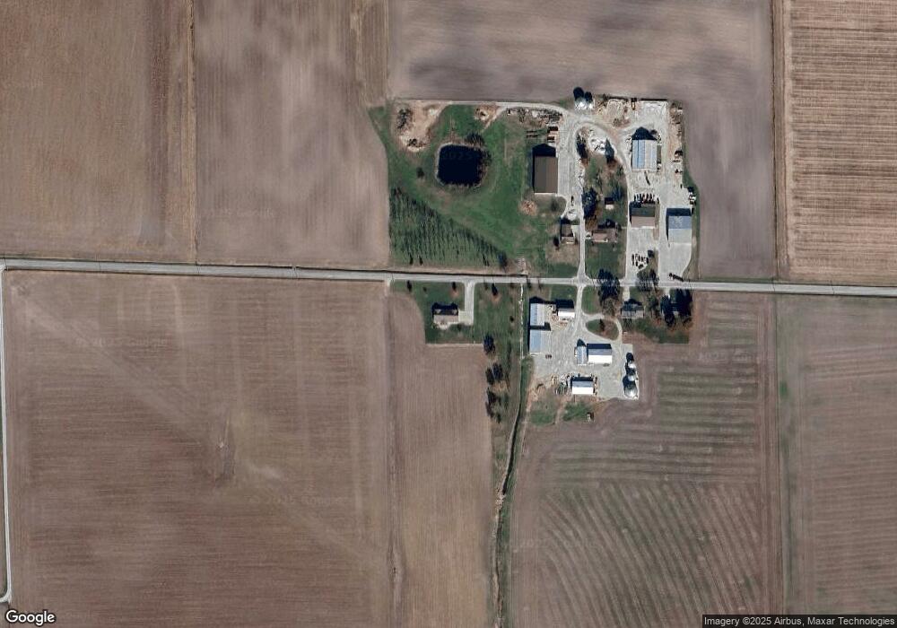
Map
Nearby Homes
- xxxx Main St
- 1251 Sunset Dr
- 13636 Alpine Way
- 13613 Alpine Way
- 13964 Best One Dr
- 1059 N Cherry St
- 9953 President Ct
- 10675 Buckingham Ct
- 655 N 8th St
- 4650 Wyatt Way
- 265 N 1st St
- 365 Briarwood Ln
- 210 N Elm St
- 889 N 1st St
- 515 S 1st St
- 1031 N 1st St
- 103 S Hull St
- 129 Jefferson Dr
- 654 S 7th St
- 887 W 3rd St
- 7596 Wayne Rd
- 7601 Wayne Rd
- 7602 Wayne Rd
- 7612 Wayne Rd
- 7104 Wayne Rd
- 17015 Saint Rose Rd
- 16915 Saint Rose Rd
- 16909 Saint Rose Rd
- 16707 Saint Rose Rd
- 17217 Saint Rose Rd
- 16601 Saint Rose Rd
- 7021 Wayne Rd
- 8110 Wayne Rd
- 17605 Saint Rose Rd
- 16408 Saint Rose Rd
- 16311 Saint Rose Rd
- 16930 Spanker Branch Rd
- 17600 Saint Rose Rd
- 16800 Spanker Branch Rd
- 17122 Spanker Branch Rd
Your Personal Tour Guide
Ask me questions while you tour the home.